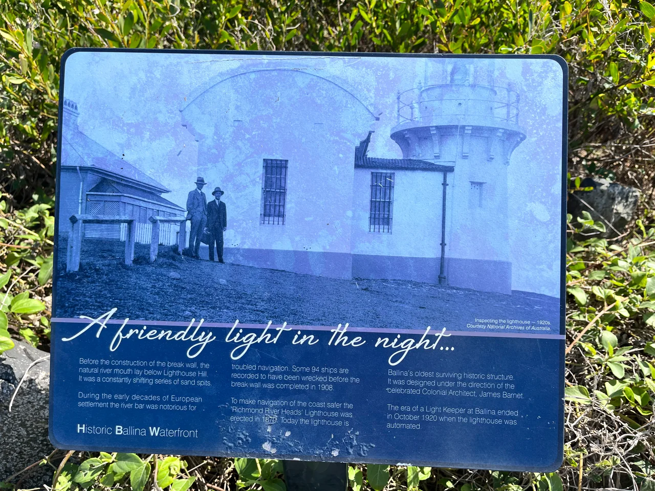

Richmond River Light
It is barely taller than a two-storey house, a stubby tube of stone painted white, and from a distance you might mistake it for a water tower or a folly. But the Richmond River Light is the oldest building still standing in Ballina, and it was raised for the grimmest of reasons. The mouth of the Richmond River was a killer. Shifting sandbars sat invisible beneath the surf where the river met the Coral Sea, and through the nineteenth century ships and the people aboard them were lost trying to cross in. A light on the headland was not decoration. It was the difference between making port and joining the wrecks.
A Light for a Dangerous Bar
The first light here was a temporary one, installed in 1866 to plans by James Barnet, the colonial architect whose name is stamped on much of nineteenth-century New South Wales. The permanent tower came a little over a decade later. A tender was called in 1878, the stonework rose through 1879, and the lamp was first exhibited in 1880. It guided vessels into the river port and worked as a leading light, lining up with a second lamp raised on a wooden mast thirty metres away. Bring the two lights into alignment from the deck of a ship, and you were threading the safe channel between the bars. Drift off the line, and the sand was waiting.
One of Barnet's Five
Barnet designed the Richmond River Light as one of a family of five near-identical towers built between 1878 and 1880 along the north coast, the others being Fingal Head, the now-demolished Clarence River Light, Tacking Point and Crowdy Head. They share the same plain, confident geometry. This one is circular, a little under two metres across inside, its stone walls tapering from roughly half a metre thick at the base to thirty-five centimetres at the top. Because a pilot station stood nearby, a single keeper was enough to tend the original fixed light, a fourth-order catadioptric lamp burning colza oil, its glow visible for about twelve nautical miles out to sea.
From Oil Flame to Filament
Lighthouses are machines, and this one kept being rebuilt around its own purpose. In 1920 the colza-oil flame gave way to acetylene gas and the tower was automated, the keeper no longer needed. In November 1940 the annexe and porch attached to the tower were pulled down, leaving the bare cylinder you see today. Electrification arrived in the 1960s. The light now throws a tungsten-halogen beam and signs its presence to passing ships in a code of four white flashes every sixteen seconds, a rhythm unique enough that a navigator can name the headland from the pattern alone, even in the dark.
Still Working, Still Watched
Most lighthouses this old have been retired into museums or holiday lets. This one still does its job. Transport for NSW keeps the light running, and the headland around it is open to anyone who wants to walk up, though the tower itself stays locked. Below it stretches Lighthouse Beach, one of Ballina's main strands, named for the small stone sentinel above. Stand on the point on a clear day and you can watch the river slide out to meet the ocean, the breakwaters now taming the bar that the light was built to outwit. The danger is mostly gone. The light keeps flashing anyway.
From the Air
The Richmond River Light sits at 28.867°S, 153.592°E on Ballina Head, the northern headland of the Richmond River mouth, on the far north coast of New South Wales. From the air the white stone tower is small, but the river mouth itself is an unmistakable landmark: twin breakwaters reaching into the Coral Sea, with the town of Ballina spread along the estuary behind. Ballina Byron Gateway Airport (ICAO YBNA) lies about 3 km west-northwest, making this headland a natural visual reference on approach. Gold Coast Airport (YBCG) is roughly 80 km north. Best viewed from 1,500-2,500 ft in the clear coastal light; watch for sea breezes and afternoon cloud building over the hinterland ranges to the west.
Nearby Stories
- Minyon Falls 7.9 km away
- Iluka, New South Wales 27 km away
- Susan Island Nature Reserve 56 km away
- Washpool National Park 76 km away
- Spicers Gap Road 81 km away
- HMS Porpoise (1799) 731 km away
- Wreck Reefs 761 km away
- SS Elingamite: Gold, Fog, and a Captain Wrongly Blamed 1793 km away