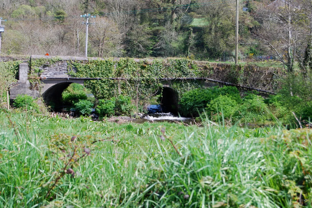

Rosscarbery
In the 6th century, the village now called Rosscarbery was a university town, and one of the major centres of learning in Europe. Students came from across the continent to study at the School of Ross, the monastic school founded by Saint Fachtna. The Irish name was Ros Ailithir - the Wood of the Pilgrims. Today the population is 638. The school is gone. The wood is gone. What remains is a village above a shallow estuary that opens onto Rosscarbery Bay, with a square that holds a horse fair every August, a beach that draws families in summer, and an outsized history visible to anyone who learns to look for it.
Ros Ailithir, Wood of the Pilgrims
Fachtna of Rosscarbery founded the monastery around the middle of the 6th century, and it became one of the most significant centres of religious learning in early medieval Europe. The Annals of Inisfallen record the deaths of successive abbots: Ólchobar in 933, Éladach in 954. Airbertach mac Cosse, a poet and the lector and superior of the monastery, taught here in the 10th century. Students travelled long distances to learn here, which is why the place earned the name Wood of the Pilgrims. In 924 the annals record an attack: Gothbraid, grandson of Ímar, came by sea westward and took the hostages of the south of Ireland by sea to Ros Ailithir - one of the Viking raids that gradually drained the monastery of its books, its silver, and eventually its students. By the time the Normans arrived in the 13th century, the great age of the School of Ross had ended.
The O'Learys and the Corcu Loígde
Before Norman control reached the area in the early 13th century, Rosscarbery was the territory of the O'Learys - Uí Laoghaire Ruis Ó gCairbre - hereditary chieftains of the local tuath. The O'Learys were one of the leading septs of the ancient Corcu Loígde, the kingdom that had once controlled much of southwest Munster. Their displacement by the Normans was part of the same wave that brought the FitzGeralds, Barrys, and others into Munster. But the O'Leary name persisted. It is still common across this part of Cork, attached to families whose ancestors held the land for centuries before any English-speaking lord arrived. Two inscribed stones in Burgatia, near the village, predate the Norman arrival - early Christian or possibly older, the inscriptions weathered but legible. Several holy wells in the area carry the memory of saints whose names are barely remembered now.
Jeremiah O'Donovan Rossa
In 1831, Jeremiah O'Donovan Rossa was born in Rosscarbery. He would become one of the most uncompromising leaders of the Irish Fenian movement - founder of the Phoenix National and Literary Society, organiser of the Irish Republican Brotherhood, jailed for treason in 1865 and sentenced to penal servitude. His imprisonment in England, in conditions deliberately designed to break him, became an international scandal. Released in 1871, he emigrated to America and continued to organise from there, eventually directing the dynamite campaign of the 1880s that targeted British infrastructure. When he died in 1915, his body was returned to Dublin for burial in Glasnevin Cemetery. Patrick Pearse delivered the graveside oration - 'the fools, the fools, the fools, they have left us our Fenian dead' - that helped ignite the Easter Rising of the following year. The little West Cork village had produced a man whose funeral changed Ireland.
Tom Barry and the Barracks
In March 1921, during the closing months of the Irish War of Independence, Tom Barry's 3rd Cork (IRA) Brigade attacked and destroyed the Royal Irish Constabulary barracks in Rosscarbery. Two RIC officers were killed. Nine others were injured. The attack was one of a series Barry led across West Cork that culminated in the Kilmichael ambush. Barry himself had moved to Rosscarbery with his family by 1911 - his father, also Thomas, had been an RIC constable, ironic given his son's later career. In Guerrilla Days in Ireland, Barry recounts riding a cow through the main street to amuse other boys, a reminder that the men who fought the war had been ordinary children only a few years before. A plaque now stands on the site of the former barracks, beside the current Garda station, commemorating the attack.
The Shape of the Place
Rosscarbery sits above a shallow tidal estuary that opens onto Rosscarbery Bay. The N71 road and causeway divide the estuary in two - mudflats on the south side, a large brackish lagoon on the north - both teeming with bird life. The Warren Beach, about a mile from the village, holds a Blue Flag designation; coastal erosion forced extensive remedial works in 2004 and 2005. Owenahincha beach, also Blue Flag, sits nearby. The village square hosts an annual horse fair in August, the traditional gathering where farmers, dealers, and travellers meet to trade horses and conduct business over deals sealed with handshakes. Bohonagh, a Bronze Age recumbent stone circle, sits 2.4 km east of the village, paired with a nearby boulder-burial. Castle Salem, where William Penn stayed before founding Pennsylvania, lies just to the west. Carbery Rangers GAA, founded 1887, won their first All-Ireland Intermediate title in 2003. The history is woven into the everyday in a way that requires no signposting at all.
From the Air
Rosscarbery sits at 51.578 degrees north, 9.032 degrees west, on the N71 road above a shallow tidal estuary opening to Rosscarbery Bay in West Cork. From the air, look for the long causeway dividing the estuary, with the village climbing a low rise on the north side. The Warren Beach and Owenahincha beach are visible to the southwest along the coast. Clonakilty is 10 km to the northeast; Castle Salem sits in a sheltered valley 1.5 km northwest. Cork Airport (EICK) is approximately 60 km east-northeast. Recommended viewing altitude 2,500-5,000 feet for the estuary and village together. The estuary is best viewed at high tide when the water fills the basin; at low tide, exposed mudflats dominate the south side.
Nearby Stories
- Douglas 2.4 km away
- Macroom 5.5 km away
- Schull 8.2 km away
- Walter Siepmann 14 km away
- Killarney National Park 18 km away
- HMHS Llandovery Castle 29 km away
- Wolfpack Prien 72 km away
- SM U-27 101 km away