
Saliagos
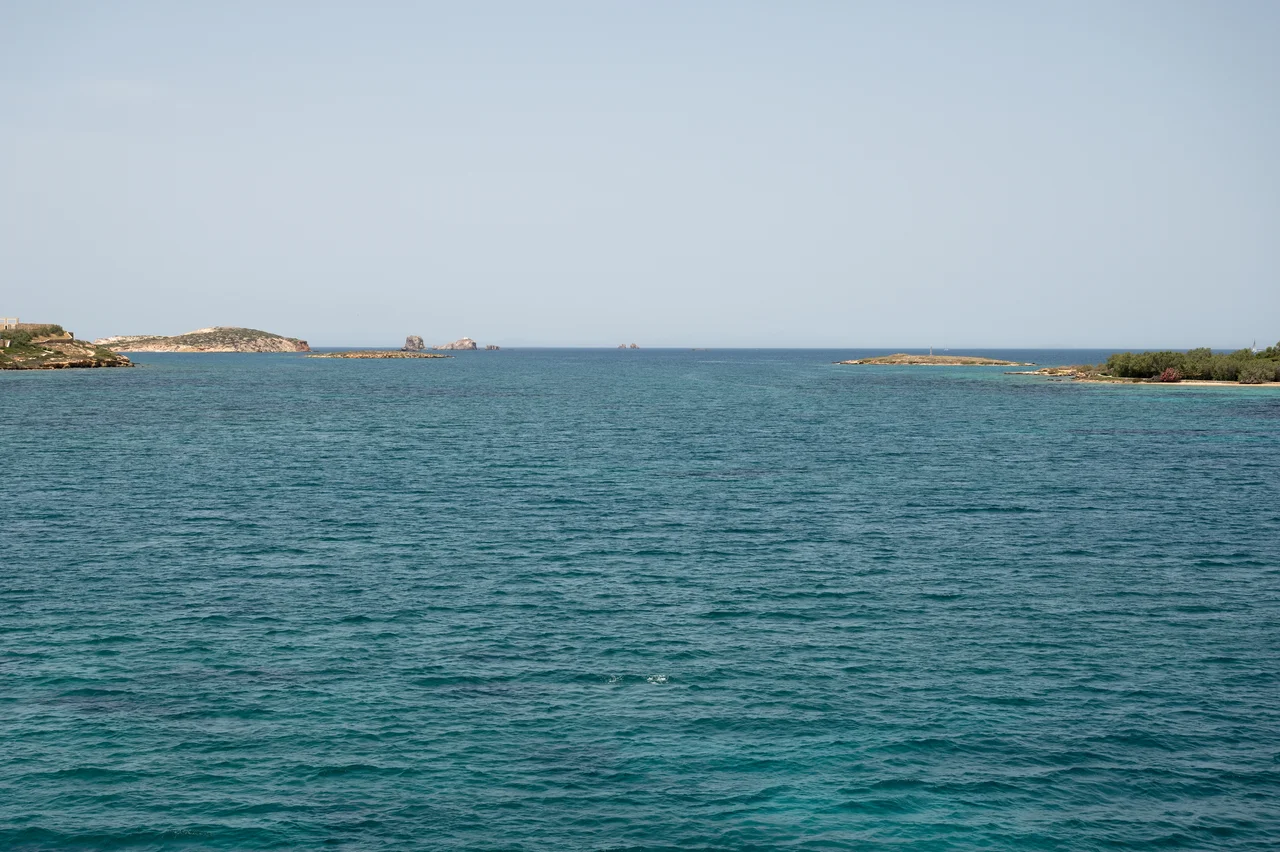
At low tide, when the channel between Paros and Antiparos narrows, a small rocky outcrop appears in the water. Saliagos measures about 110 by 70 meters — smaller than many city blocks — and today it is completely uninhabited. But between 5000 and 4500 BC, people chose this islet as the place to build the Cyclades' earliest known farming settlement. They fished for tuna. They raised sheep and goats and ate emmer wheat and barley. They traded for obsidian from Milos, 60 kilometers away, and occasionally from Gyali in the Dodecanese, nearly 200 kilometers distant. They carved marble figurines. And then, sometime around 4500 BC, they left — or were gone — and the sea level rose slowly over the following millennia, swallowing the land bridge that had once connected Paros and Antiparos, and leaving Saliagos as an isolated fragment of a larger story. The site lay essentially unexamined until 1964, when archaeologists John Davies Evans and Colin Renfrew of the British School at Athens began two seasons of excavation that would rewrite the early human history of the Aegean islands.
An Island That Was Once a Crossroads
In prehistoric times, the islet was not an island at all. Saliagos sat on a land bridge — a narrow neck of terrain connecting Paros to Antiparos — that existed through much of the Neolithic period and as late as the Byzantine era before subsiding beneath rising sea levels. This means the early settlers were not choosing an isolated rock. They were choosing a position on a through-route, a place where the land narrowed between two larger islands, with the open Aegean on one side and the sheltered channel on the other. The settlement's location made practical sense: proximity to fishing grounds, access to both islands, and a defensible site that also had one of the earliest known fortification systems in Greece. When the excavations of 1964–65 uncovered the settlement's layout, the evidence suggested continuous occupation for roughly 300 years — long enough for the community to develop distinct ceramic and artistic traditions.
The Fat Lady and the Violin
Among the finds from Saliagos, three marble figurines stand out. The most celebrated is a small female figure — voluptuous, seated, with crossed legs — known informally as the "Fat Lady of Saliagos." The figure represents a fertility symbol, and her form connects her to similar finds on Naxos and to clay figurines from the mainland. More striking, perhaps, is what she anticipates: the abstract marble Cycladic figurines of the Bronze Age, those spare, elegant forms that became so influential in twentieth-century art, trace their ancestry to this Neolithic tradition. Two other figurines from Saliagos are far more abstract, their forms reminiscent of a violin. They have no recognizable predecessors, and their relationship to the later Cycladic abstract style is unmistakable. Whatever the Saliagos carvers were reaching toward, the sculptors of the Bronze Age Cyclades found it.
Obsidian and Open Water
The obsidian tools recovered from Saliagos tell a story about trade across what would have been significant stretches of open sea. More than 25,000 artifacts were recovered, including over 1,100 blades — scrapers, spikes, cutting edges, and harpoon tips. The obsidian itself came almost exclusively from the volcanic island of Milos, 60 kilometers to the southwest. Occasionally, material from Gyali in the Dodecanese also appears, indicating connections across nearly 200 kilometers of the Aegean. These were not accidental arrivals. Someone on Saliagos knew where Milos was, had the means to get there and back, and maintained that trading relationship over generations. The scale of obsidian use — over 25,000 pieces — suggests the community was not merely self-sufficient but embedded in a wider network. The tools were made on the island itself; the raw material traveled to reach the craftsman.
What the Bones Reveal
Faunal remains from the excavation give an unusually direct glimpse into daily life on Saliagos. Tuna predominated in the diet — a detail that carries its own resonance, because tuna are no longer regularly found in this part of the Aegean, suggesting that six thousand years of fishing pressure has altered the sea itself. Sheep and goats provided meat, wool, and milk; cattle and pigs appear in smaller quantities. Emmer wheat and barley were cultivated. The settlement was a farming community, but it was also a fishing community, and the combination sustained it for three centuries. The burial sites have sunk below sea level with the rest of the land bridge, so no grave goods have been found — an absence that leaves the spiritual and ritual life of Saliagos largely invisible to archaeology. What the community believed, how they mourned their dead, what stories they told about the sea surrounding them: those things are lost.
From the Air
Saliagos lies at approximately 37.0481°N, 25.0958°E in the narrow channel between Paros and Antiparos. From the air it appears as a very small rocky outcrop — barely distinguishable at altitude from the surrounding water. The nearest airport is Paros National Airport (LGPA), approximately 10 km to the east on the island of Paros. Flying at 3,000–5,000 feet on a clear day, the channel between Paros and Antiparos is visible as a thin blue strip, with Saliagos sitting within it. The larger island mass of Antiparos lies to the southwest; Paros to the northeast. Aegean visibility is typically excellent in summer. The islet itself is too small to serve as a navigation landmark but lies on the direct line between LGPA and the southern tip of Antiparos.
Nearby Stories
- Panagia Gremniotissa 13 km away
- Milos 17 km away
- Panagia Kanala 18 km away
- Delos 18 km away
- Serifos 19 km away
- Amorgos 27 km away
- 1956 Amorgos Earthquake 27 km away
- Ikaria 57 km away