
Salt Island, Anglesey
Walk to the end of London's most famous road and you finish at a triumphal arch on a small piece of land that used to be an island. The A5 begins at Marble Arch in Hyde Park, runs 260 miles through the Midlands and Snowdonia, crosses Telford's Menai Suspension Bridge, threads the width of Anglesey, and ends here, at Admiralty Arch on Salt Island. The arch was put up in 1821 to mark the moment King George IV stepped off a boat from Ireland and onto Welsh ground, just before construction of the road that made his journey possible was finally completed. The whole apparatus - the arch, the pier, the lighthouse fifty metres away - was built to do one job: move post and people between Great Britain and Ireland as fast as steam and horses allowed.
The Name Was a Factory
Before the engineers arrived, the island had a more modest industry. Sea water was pumped into shallow pans, boiled down with peat or coal, and the resulting salt was scraped up, dried, and sold. That factory gave the island its name. Holyhead's Old Harbour curls in behind Salt Island's natural breakwater, which is why the Romans, the medieval Welsh, and eventually the engineers of the Holyhead Road all chose this spot as the port for Ireland. The salt works are long gone. The Stanley Sailors' Hospital, set up by public subscription in 1871 to treat injured seamen and later absorbed by the NHS in 1948, served the island's working population until 1987, when it closed and was pulled down. The lighthouse that John Rennie the Elder designed in 1821 still stands, one of the few surviving examples of Rennie's work; he died before it was built, but it kept its station until the great Holyhead Breakwater Lighthouse took over in 1873.
Two Royal Departures
Admiralty Pier opened in the same year as the arch, 1821, reaching about 300 metres east into the sea on cut limestone. It has been handling ferry traffic ever since. The pier saw royalty twice in the 19th century, both times for the same reason: Ireland. On 7 August 1821, King George IV came ashore from his Irish state visit and the arch went up to commemorate the moment. In 1898, the elderly Queen Victoria boarded a ship at Admiralty Pier for what would be her last voyage to Ireland; she died less than three years later. The pier outlasted both reigns. A planned inner breakwater arm running out from Salt Island was started but never finished beyond a rubble spit; you can still find the cut stone blocks of its tramway viaduct foundations among the boulders at the northern tip if you know where to look.
Reclaimed for the Modern Crossing
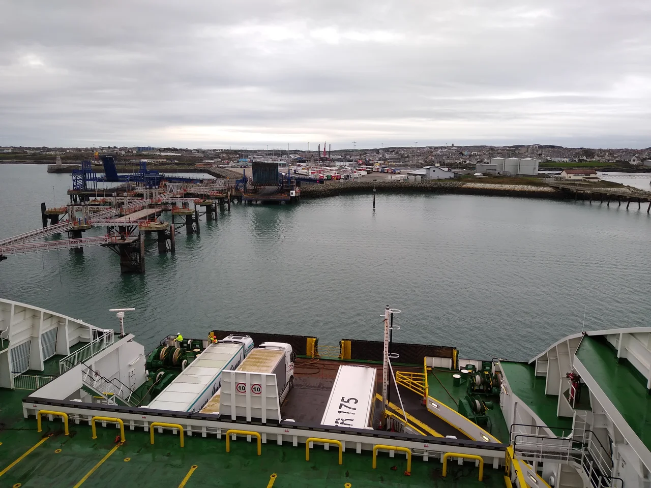
In February 2001, contractors began driving piles into the seabed off Salt Island's eastern edge. Over the following months, an average of 7,000 tonnes of rock and mud a day was added to the perimeter. The island grew by 11 acres at a cost of £10 million. The new land became berths and freight aprons for the modern ferries: Irish Ferries and Stena Line both run from here to Dublin Port, three to four sailings each per day, carrying lorries, cars, walk-on passengers, and the occasional curious tourist who wants to say they took a ship to Ireland. Holyhead lifeboat station also sits on the island. For pedestrians, almost all of Salt Island is off-limits behind port security fencing - which is, in a way, fitting. The whole island was built to move things through, not to walk on. Stand at the south end by Admiralty Arch and you are at the end of the A5; turn around, and London is 260 miles behind you.
From the Air
Salt Island sits at 53.316N, 4.624W, on the eastern side of Holyhead Port on Holy Island. From the air it is an unmistakable rectangular peninsula crowded with ferry berths and stacks of containers; the broad arc of the 1.7-mile Holyhead Breakwater (the longest in the UK) runs north from the harbour mouth. Nearest airfield is RAF Valley (EGOV) 7 nm to the south; Caernarfon (EGCK) 18 nm south-southeast. Expect significant ferry traffic in the approaches at all hours; the port operates around the clock. Best photographed mid-morning when low sun rakes the Stena and Irish Ferries hulls.
Nearby Stories
- Snowdon Mountain Railway 8 km away
- German submarine U-1051 8.3 km away
- German submarine U-246 11 km away
- Trwyn Du Lighthouse 13 km away
- Irish Sea Bridge 20 km away
- HMS Manners (K568) 34 km away
- HMS Tyler 47 km away
- Birkdale Palace Hotel 79 km away