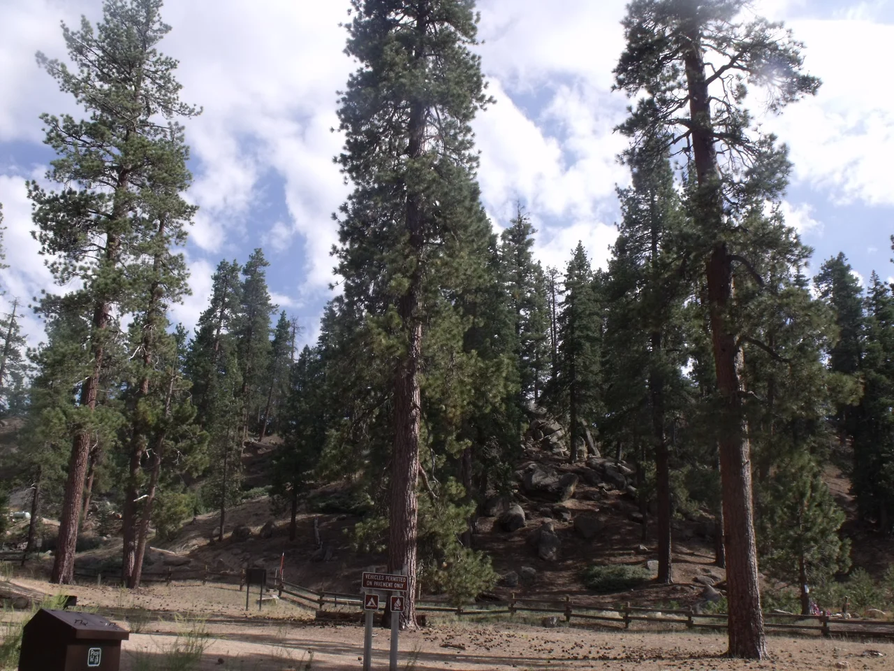
San Bernardino National Forest
Stand at the edge of a ridge in the San Bernardino National Forest and the desert begins below you — but the forest itself reaches back into deep time. Established in 1907, it sprawls across 823,816 acres from the Inland Empire's suburban fringe to the volcanic peaks above Palm Springs, threading through seven wilderness areas and harboring the two tallest waterfalls in Southern California. It is a landscape of radical contrasts, where you can drive from Joshua trees at 3,000 feet to limber pines at over 10,000 feet in an afternoon.
Giants and Fault Lines
Somewhere within the forest's boundaries, 87,400 acres of old-growth timber stand largely undisturbed — one of the largest remaining old-growth landscapes in Southern California. Beneath one of its most photogenic features, Lost Lake, the ground is literally moving: the sag pond sits directly on the San Andreas Fault, its quiet surface belying the tectonic energy locked in the earth beneath. Big Falls, near Forest Falls, drops 500 feet — the tallest year-round waterfall in Southern California — while Bonita Falls in the Cucamonga Wilderness ranks close behind. These aren't tourist-brochure superlatives; they're quiet giants tucked up canyon roads that require some effort to reach.
Wild Residents
The forest's most famous current inhabitants are a bald eagle pair known as Jackie and Shadow, who nest near Big Bear Lake and have been live-streamed by viewers around the world. Bald eagles returned to Southern California mountains only after decades of DDT-driven decline nearly extirpated them from the region. Their presence is one conservation success story among many. Peninsular bighorn sheep navigate the rocky slopes at the forest's desert margins. Black bears roam the mixed conifer zones. Steelhead trout once moved through streams that now run intermittently, their passage disrupted long before the forest was formally designated.
Where Hollywood Came to Hide
Filmmakers discovered early that the San Bernardino Mountains offered everything a studio couldn't build on a backlot: real forests, real granite, real altitude. The 1936 film Daniel Boone shot scenes among its pines. Paint Your Wagon, the 1969 Lerner and Loewe musical western starring Lee Marvin and Clint Eastwood, used the landscape for its California Gold Rush setting. Generations of Los Angeles families have made the same pilgrimage under different auspices — weekend cabins, ski weekends at Big Bear and Snow Valley, summer camps, and the ritual of driving up into the cool air when the basin below becomes too hot to tolerate.
Seven Wildernesses
The forest contains seven designated wilderness areas, each with its own character. The San Gorgonio Wilderness protects San Gorgonio Mountain — at 11,503 feet, the highest peak in Southern California — and requires permits for overnight stays. The Cucamonga Wilderness buffers the urban edge with a wall of granite. The Bighorn Mountain Wilderness shelters the desert-adapted bighorn sheep for which it is named. Together these protected zones form a matrix that allows wildlife to move across elevation bands and seasonal ranges — a function that becomes more critical each decade as the surrounding lowlands become more fragmented.
From the Air
San Bernardino National Forest extends from roughly 33.5°N, 116.4°W southward and westward across the mountains above the Coachella Valley. Flying from the desert side, the forest boundary is visible as an abrupt transition from sparse desert scrub to dense pine-covered slopes beginning around 4,000–5,000 feet elevation. Big Bear Lake (elevation 6,752 ft) is a prominent visual landmark — a large reservoir surrounded by mountain communities. The San Gorgonio Mountain summit (11,503 ft) is the highest point and often snow-capped from fall through spring. Nearest airports: Palm Springs International (KPSP, northeast approach), Big Bear City Airport (L35, within forest), Hemet-Ryan Airport (KHMT, southwest). Maintain safe terrain clearance — mountain wave turbulence is common on the lee side of ridges, especially with westerly winds.
Nearby Stories
- Deer Park Monastery 3.9 km away
- Hope Residence 5.1 km away
- The International Banana Museum 8.1 km away
- Rancho Valle de San Felipe 12 km away
- Naval Auxiliary Air Station Salton Sea 17 km away
- Tenaja Fire 19 km away
- Joshua Tree National Park 20 km away
- San Bernardino Train Disaster 50 km away