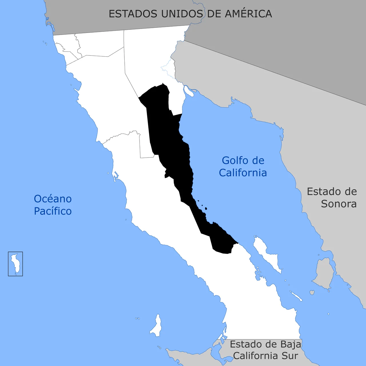
San Felipe Municipality, Baja California
Before it had a municipal government, San Felipe Bay had the Kiliwa. They lived in the Sierra de San Pedro Mártir and made seasonal journeys down to the coast, where the Gulf of California offered what the desert could not: clams, mussels, fish trapped in stone weirs built across the bay entrance. Their relationship with this place was measured in generations. Then came the Jesuit expedition of 1721, which named the bay. Then came Fernando Consag's description in 1746. Then came Wenceslaus Linck, the first European to reach it by land, in 1766. The Kiliwa people's long tenure rarely makes it into the official founding story.
From Fishing Camp to Municipality
Permanent settlement at San Felipe Bay began around 1910–1915, driven by commercial fishing for totoaba — a large, now critically endangered fish found only in the upper Gulf of California — and later for shrimp. The town's development followed a typically Mexican mid-century arc: a paved highway connection to Mexicali arrived in 1950, diesel generators in 1958, drinking water pipelines in 1967. For decades, San Felipe operated as a delegación, a sub-unit of larger municipalities. Only in 2021 did the Congress of Baja California vote to create the new municipality of San Felipe from territories split off from both Mexicali and Ensenada. The new municipality formally began operations on January 1, 2022. It is the least populous municipality in Baja California, with a recorded population of 18,369 in the 2010 census.
A Taxonomy of Connections
San Felipe's position in Baja California's road network has always defined it. Federal Highway 5 runs north to Mexicali, the state capital and border crossing. Federal Highway 3 runs northwest to Ensenada. Federal Highway 1, the great Baja spine, meets the municipality at its southern extent. For travelers coming south from the United States, San Felipe is often the first significant stop on the gulf side — a town with hotels and fuel and cerveza and the kind of seafood that the Pacific coast offers at a different temperature. The port just south of town serves both commercial fishing boats and recreational craft. San Felipe International Airport sits in the municipality but has carried no scheduled commercial flights since 2016.
The Kiliwa Today
The Kiliwa people — one of the Yuman-speaking peoples of Baja California — are among the smallest indigenous groups in Mexico by population. Their traditional territory encompassed the Sierra de San Pedro Mártir and the coastal areas around San Felipe Bay. The community's language is critically endangered; estimates of fluent speakers number in the dozens. The modern municipality bears no Kiliwa name, carries no obvious acknowledgment of the people who shaped the bay's ecology through their fishing practices for centuries before European contact. Their stone weirs — the fish traps built across the bay entrance — are gone. The knowledge of how to build them lives on, if at all, in memories.
The Upper Gulf
The Gulf of California in the San Felipe area is extreme. Tidal ranges in the northern gulf reach 7 meters or more, among the highest in the Pacific. The vaquita marina, the world's rarest marine mammal, has its last known population in these waters — a porpoise barely surviving illegal fishing operations for the totoaba's swim bladder, which commands extraordinary prices in Asian markets. The ecological story of San Felipe Bay is thus both ancient and urgent. The Kiliwa fished sustainably here for centuries. Industrial fishing in the twentieth century decimated the totoaba. And now the vaquita, collateral damage in that ongoing illegal trade, approaches extinction a few miles offshore from a town still building its municipal institutions.
From the Air
San Felipe is located at approximately 30.97°N, 114.80°W on the western shore of the upper Gulf of California. San Felipe International Airport (IATA: SFH, ICAO: MMSF) lies 11 km south of town. Single runway 13/31 at 30 meters MSL elevation. The bay and town are clearly visible from 3,000 feet AGL. The extreme tidal flats south of town are visually striking at low tide from altitude.
Nearby Stories
- San Felipe International Airport 19 km away
- Peninsular Ranges 32 km away
- 2012 Boeing 727 Crash Experiment 181 km away
- San Lorenzo Marine Archipelago National Park 203 km away
- Laguna Salada 210 km away
- Battle of Stanwix Station 255 km away
- Guadalupe Island Biosphere Reserve 314 km away
- Mission San Jose de Tumacacori 328 km away