.jpg)
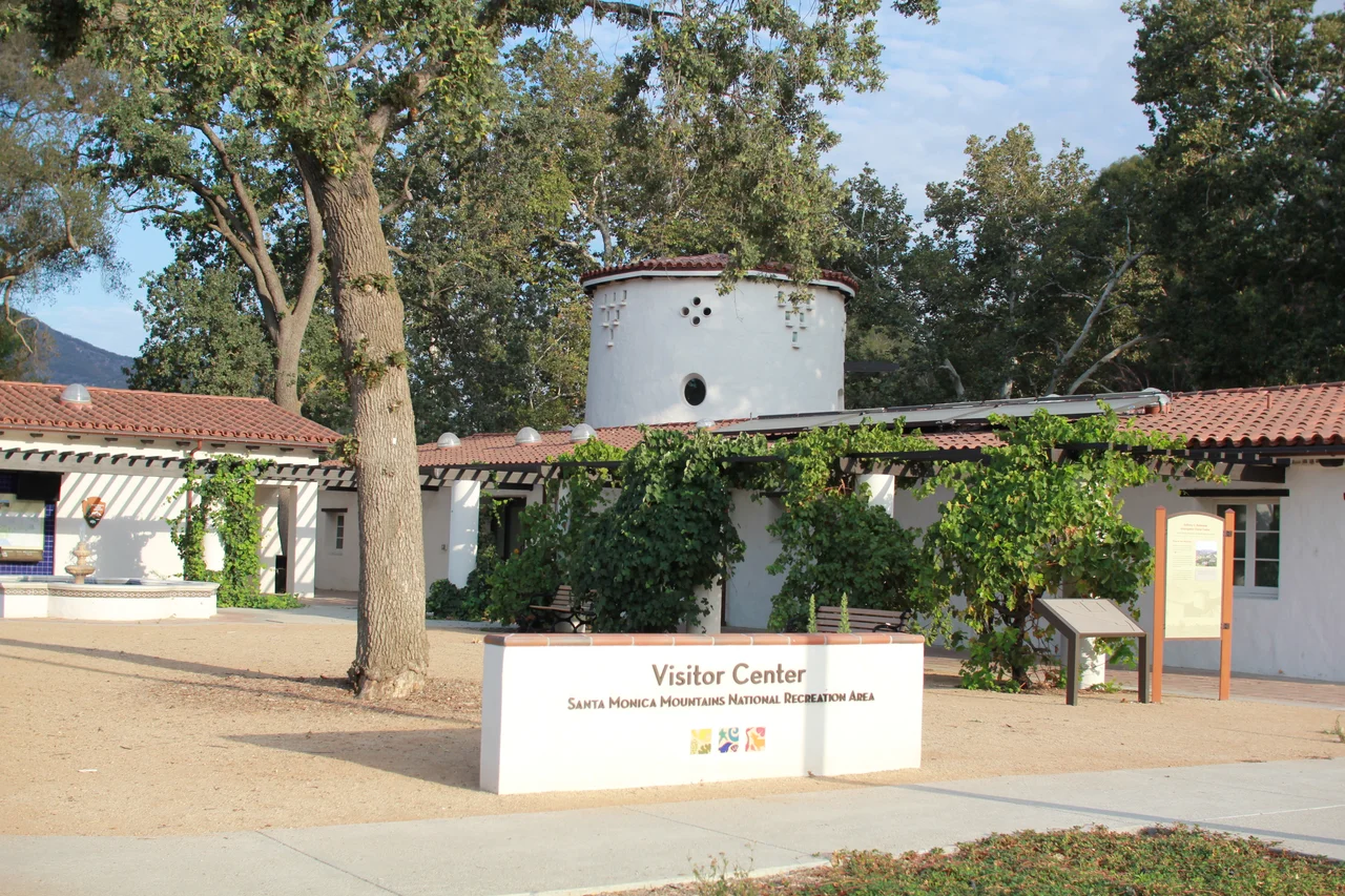
Santa Monica Mountains National Recreation Area
The Santa Monica Mountains begin at Griffith Park in the eastern corner of the range and run 46 miles west to the Pacific Ocean at Point Mugu. Along this spine, one of the rarest ecosystems on earth persists — Mediterranean chaparral and oak woodland found in only five places on the planet, clinging to the hills above one of the world's largest cities. The national recreation area that protects most of this range is the largest urban national park in the world, encompassing 153,075 acres within sight of downtown Los Angeles.
Ten Thousand Years of People
The Santa Monica Mountains have been home to humans for at least ten millennia. The Chumash people built a sophisticated civilization in these hills and along the coast, leaving behind more than a thousand documented archaeological sites within the recreation area — including 26 sites with pictographs, painted images in ochre and other pigments on rock faces, some of which survive in remarkably good condition. The density of human occupation over such a long period is embedded in the landscape in ways that become visible only with deliberate attention.
European settlement disrupted the Chumash world catastrophically, through disease, mission labor, and eventually displacement. The archaeological record they left behind in the mountains — middens, tool caches, ceremonial sites — represents a culture that was not destroyed so much as interrupted, and whose descendants have worked to maintain connection to this landscape through the centuries of disruption.
A Mediterranean Ecosystem at the Edge of the City
The climate of the Santa Monica Mountains is technically Mediterranean: dry summers, wet winters, mild temperatures year-round. This pattern is shared by only four other regions on earth — the Mediterranean Basin itself, central Chile, the Cape of South Africa, and parts of southwestern Australia. Each of these regions has developed its own characteristic plant community adapted to summer drought, and each of them is considered one of the world's biodiversity hotspots, containing extraordinary numbers of endemic species found nowhere else.
The California chaparral — chamise, manzanita, toyon, scrub oak — covers the hillsides of the Santa Monica Mountains in a community evolved for fire. These plants require periodic burning to complete their life cycles. The seeds of some species germinate only after exposure to heat or smoke. The relationship between the ecosystem and fire is not a threat to the landscape but a condition of its existence, which makes the proximity of millions of people and their infrastructure a genuine ecological tension.
Established in 1978
Congress established the Santa Monica Mountains National Recreation Area on November 10, 1978. The creation of the park represented a departure from the usual model of national parks as remote wilderness: this was an urban park, surrounded by and accessible to millions of city residents, designed to bring federal land protection to a landscape under severe development pressure.
The model it established — a recreation area that combines federal land with state parks, local parks, and private open space under a coordinating framework — has been replicated in other urban contexts. The park is administered by the National Park Service but much of its acreage is managed by the California State Parks system or through agreements with private landowners. The patchwork nature of this arrangement means that the boundary between protected and unprotected land is not always obvious from the ground.
Fire, Wildlife, and the Wildlife Crossing
The 2018 Woolsey Fire burned 88 percent of the federal parkland within the recreation area — a devastating statistic that reflects both the intensity of that particular fire and the vulnerability of a Mediterranean ecosystem surrounded by development. The recovery has been striking: chaparral ecosystems are resilient when not overdeveloped, and within years of the fire, vegetation returned and the wildlife that depends on it followed.
The wildlife of the mountains has become a focal point for conservation efforts that extend well beyond the park's boundaries. Mountain lions use the range as habitat but are fragmented from other populations by the freeways that cut through and around the mountains. The Wallis Annenberg Wildlife Crossing, under construction over US 101 in Agoura Hills, is a 210-foot-wide vegetated bridge designed to allow mountain lions and other animals to move safely between the mountains and the wildlands to the north — expected to open in late 2026. It is the largest wildlife crossing in the world, a direct investment in the long-term genetic viability of the mountain lion population living in the hills above Los Angeles.
From the Air
The Santa Monica Mountains National Recreation Area occupies the east-west spine of the Santa Monica Mountains at 34.1039 N, 118.603 W, with the range running from Griffith Park in the east to Point Mugu in the west. From the air, the mountains are the prominent topographic feature separating the San Fernando Valley to the north from the Los Angeles basin and coastal plain to the south. Van Nuys Airport (KVNY) lies just north of the range; Santa Monica Airport (KSMO) is just south of the western reaches.
Nearby Stories
- Mount Lowe Railway 2.4 km away
- Murder of Larry King 2.8 km away
- Bruce's Beach 22 km away
- Disneyland Railroad 23 km away
- Antelope Valley California Poppy Reserve 39 km away
- Edwards Air Force Base 55 km away
- San Nicolas Island 81 km away
- The San Andreas Fault at Carrizo Plain 83 km away