Santa Rosa Mountains
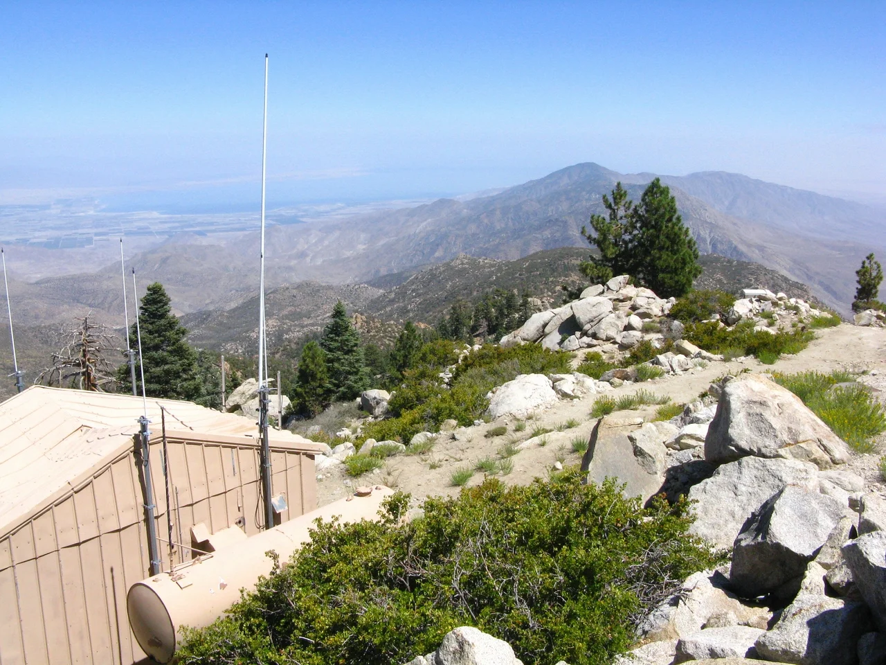
The Santa Rosa Mountains do not announce themselves gradually. From the valley floor near Indio or Palm Desert, they simply rise — a wall of rock and chaparral and then pine, climbing nearly 8,000 vertical feet in a horizontal distance that a fit hiker might cover in a day. That compression of altitude and ecosystem makes the range one of the most ecologically dramatic in Southern California, a place where desert floor and mountain summit exist within a single glance.
The Anza Expedition's Landmark
When Juan Bautista de Anza led his colonizing expedition through the region in 1774, the mountains looming to the south and west were a primary navigational reference. His party was among the first Europeans to formally document what local Cahuilla people had lived within for centuries. It was not until 1901 that the United States Geological Survey assigned the name 'Santa Rosa Mountains' officially — making this one of the last named ranges in a region that had been systematically surveyed for decades. The thirty-mile arc of the range, anchored at its highest point by Toro Peak at 8,716 feet, had simply existed without an English name long after its neighbors had been catalogued.
The Sheep That Shaped Policy
The Peninsular bighorn sheep that inhabit the rocky lower slopes of the Santa Rosas became one of the defining conservation stories of the late twentieth century in California. The subspecies — distinct from the bighorn sheep of the Sierra Nevada — found the Santa Rosas' precipitous terrain ideal, using the steep grade to escape predators and navigating cliff faces that few other large mammals can traverse. By the 1990s, their numbers had declined enough to trigger federal protection under the Endangered Species Act in 1998. That listing directly shaped federal land use decisions for the entire range and accelerated the creation of the Santa Rosa and San Jacinto Mountains National Monument in 2000 — one of the few national monuments created specifically to protect a single wildlife population's habitat.
Conserving the Valley's Backdrop
The Coachella Valley Mountains Conservancy, created by the California legislature in 1990, was established specifically to manage the complex patchwork of federal, state, tribal, and private lands across the Santa Rosas and neighboring ranges. The conservancy's mandate reflects the unusual land-tenure history of the region, where allotments to the Agua Caliente Band of Cahuilla Indians, Bureau of Land Management parcels, and private inholdings are woven together in ways that make conventional conservation approaches difficult. The National Monument designation that followed in 2000 added another jurisdictional layer, ultimately producing a more protected landscape than any single agency could have managed alone.
From the Air
The Santa Rosa Mountains form the southern and southwestern wall of the Coachella Valley, visible from most flight paths into Palm Springs International Airport (KPSP). Toro Peak at 8,716 feet (33.52°N, 116.43°W) is the highest point and is occasionally snowcapped in winter. The transition from pale desert floor to dark chaparral and pine is visually sharp and dramatic from altitude. The deep canyon systems cutting northward into the range — including Deep Canyon — are visible as dark shadows against the lighter desert face. Nearest airports: Palm Springs International (KPSP), Bermuda Dunes (UDD, general aviation). Exercise caution for mountain wave turbulence on the downwind (desert) side of the range when westerly winds exceed 20 knots.
Nearby Stories
- Deer Park Monastery 3.9 km away
- Hope Residence 5.1 km away
- The International Banana Museum 8.1 km away
- Rancho Valle de San Felipe 12 km away
- Naval Auxiliary Air Station Salton Sea 17 km away
- Tenaja Fire 19 km away
- Joshua Tree National Park 20 km away
- San Bernardino Train Disaster 50 km away