
Saundersfoot
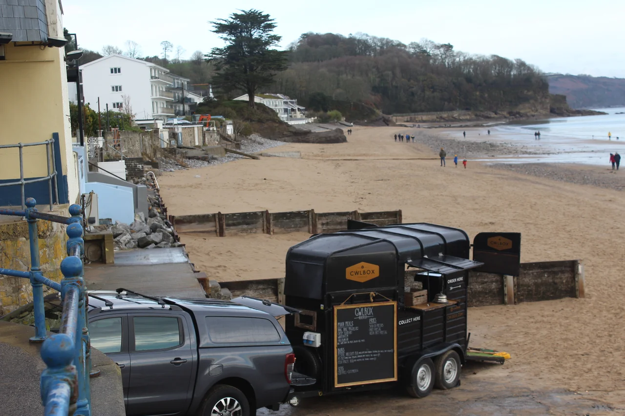
Walk west out of Saundersfoot along the beach and the path leads you into a dark, dripping cave cut through solid rock. Then another. Then a third. These three short tunnels are the only tunnels on the entire 870-mile Wales Coast Path, and they were not built for walkers. They were built in 1834 for horse-drawn trams hauling anthracite coal from the mines at Stepaside and Kilgetty down to the new harbour, where the coal was loaded into ships bound for the iron works of Cornwall and the gas works of London. The trams stopped running in 1939. The tunnels remained. Today they carry around half a million walkers a year past the same rock walls the colliery boys watched scroll past for over a century.
Saint Issel's Village
Saundersfoot was known in medieval Wales as Llanussyllt - the church-enclosure of Saint Issel, a Welsh saint of whom little is reliably recorded. After the Norman conquest, the name shifted to St. Issels, and it appears as St. Tissels on a 1578 parish map of Pembrokeshire. Under medieval Welsh law, the bishop or abbot of Llanussyllt was counted one of the seven principal clerics of Dyfed - a substantial ecclesiastical rank for what was then a small coastal parish. The parish church still stands in a dell to the north of the village, a Grade II* listed building. The name Saundersfoot itself probably comes from a later landowner; the etymology is debated, but the church's older Welsh name preserves what the place was first called by the people who lived here.
Coal Port
An Act of Parliament in 1829 gave the Saundersfoot Railway and Harbour Company permission to build a harbour for the export of anthracite coal from the nearby pits. The coal had been dug from the cliffs and shipped from the beach for centuries before that - small-scale work, beach loading at low tide - but the new harbour industrialised it. By 1837, five jetties handled coal, iron ore, pig iron, and firebricks from local works. Tramways ran from Bonville's Court mine through the village to one jetty; another tramway ran along the seafront from Stepaside to a second. The mines paid Saundersfoot's wages, built its terraces, gave its harbour its purpose. Then, gradually, the seams played out, and cheaper coal from larger fields in South Wales undercut the Pembrokeshire anthracite. By the early 20th century the industry was finished. The harbour shifted to pleasure craft. By 1939 even the railway closed.
Tunnels on the Wales Coast Path
The three tunnels are short - none more than a couple of hundred metres - but they are the only ones on the Wales Coast Path's entire 870-mile length. They were excavated for the northern arm of the Saundersfoot Railway, built between 1832 and 1834, which ran along the coast from the harbour past Coppet Hall to Wiseman's Bridge, then turned inland up Pleasant Valley to Stepaside. When the railway closed, the trackbed - including the tunnels - was preserved as a public right of way. Today the four-mile stretch from Saundersfoot to Wiseman's Bridge is one of the most heavily used sections of the Pembrokeshire Coast Path: the county council recorded over 481,000 users in 2021. The path is level, safe, and accessible. Children push scooters through the tunnels. Dogs sniff at the wet rock. The rusted iron fixings that once supported the tramway are still visible in the walls.
Frost's Flying Machine
In 1894 - nine years before the Wright brothers - a carpenter from Saundersfoot named William Frost patented a flying machine. The Frost Airship Glider was a hybrid: part lighter-than-air balloon, part fixed-wing glider, with cigar-shaped gas envelopes above a long platform with pivoting wings. According to local accounts, Frost test-flew his machine in a field outside the village in 1896, and the flight ended when the contraption hit a tree. The Patent Office issued the patent. The Smithsonian and the Royal Air Force Museum have both since acknowledged Frost as a pioneer, though the lack of contemporary documentation means his place in aviation history remains uncertain. Frost died in 1935 in poverty, his patent expired, his machine forgotten until local historians began to reconstruct his story in the late 20th century. Saundersfoot now has a small memorial to him near the harbour.
Sea, Year, and Now
Every New Year's Day, Saundersfoot does the same thing: more than a thousand people - over 1,500 in 2016 - dress as Vikings, fairies, superheroes, or simply in their swimsuits, and run into the cold Atlantic. The swim was cancelled in 2021 because of COVID, and came back in 2023 with the usual ridiculous crowd. The harbour the rest of the year holds private moorings, small fishing charters, and pleasure boats. The 2021 census put the village population at 2,500, with nearly 40% over 65 - a retirement profile shaped by the same coast that drew the original industrial workforce. From the village beach you can see across Carmarthen Bay to Worm's Head and the Gower Peninsula. The Pembrokeshire Coast Path runs through. The tunnels wait at the western edge of town, dark and cool on the hottest days of summer.
From the Air
Saundersfoot lies at 51.71°N, 4.70°W on Carmarthen Bay, just under 3 miles north of Tenby. From the air, look for the tight harbour at the village centre, with the long curve of beach extending west and the three tunnels along the coastal section to Wiseman's Bridge. The Pembrokeshire Coast National Park surrounds the village. Best altitude 2,000-4,000 ft. Nearest airports: Haverfordwest (EGFE) about 14 nm west-northwest, Pembrey (EGFP) about 14 nm east, Swansea (EGFH) about 29 nm east. The coastal cliffs north of town can generate wave-induced turbulence in strong onshore winds.
Nearby Stories
- St Andrew's Church, Bayvil 1.6 km away
- Skomer 3.7 km away
- National Botanic Garden of Wales 9 km away
- HMS H47 13 km away
- Mumbles Lifeboat Disaster 32 km away
- Strata Florida Abbey 38 km away
- Lighthouses on Lundy 38 km away
- Tehidy Country Park 140 km away