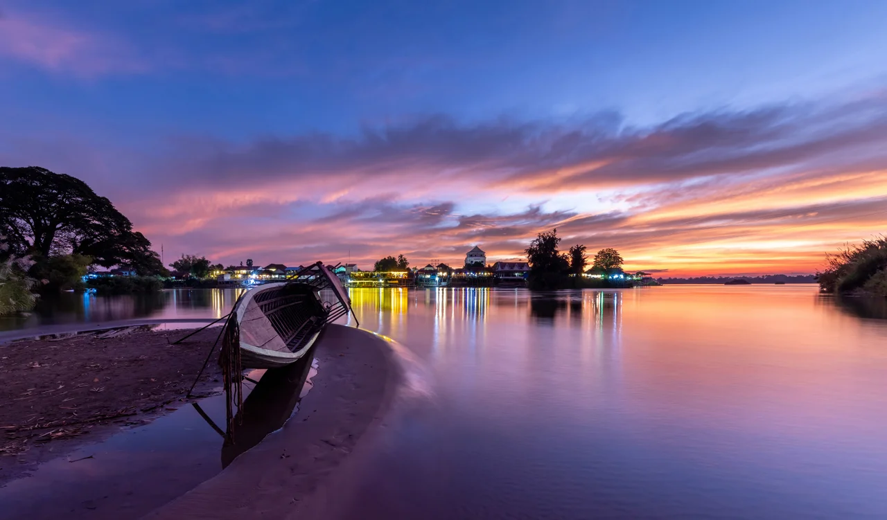

Si Phan Don
The name is an overstatement, and everyone here knows it. Si Phan Don means four thousand islands; the real count runs to a few hundred. Even that figure is unstable, because roughly half of them vanish once a year. When the monsoon pushes the Mekong up over its banks, the low ground goes under — the scrub, the sandbars, the grazing strips where water buffalo stood in March. Months later the water drops and the land surfaces again, resorted and reshaped, and the fishermen relearn where the shallows are. In this corner of southern Laos an island is less a place than a season.
A River That Loses Its Shape
Southern Laos ends in a puzzle of water. Above the Cambodian border the Mekong stops behaving like a single river and spreads into a lattice of channels, sandbars and wooded islets across the floor of Champasak Province. The archipelago and a strip of the eastern mainland together make up Khong District. Four islands dominate the rest: Don Khong, the largest and the district's namesake; Don Som, second in size; and the small adjacent pair of Don Det and Don Khon, which absorb almost every visitor who comes. The others are farmed, fished, or simply left to the river. Route 13 runs down the eastern bank, and the crossing point is Ban Nakasang, a mainland village of boat landings and two ATMs where longtails wait for passengers. Pakse, a couple of hours north by road, is the nearest city of any size. Cambodia begins just downstream, and families on both sides of that line share history, language and relatives.
The Wall at the Bottom
The archipelago exists because of what happens at its southern edge. There the Mekong hits a rock threshold and shatters — Khone Phapheng, a complex of channels and ledges that ranks as the widest waterfall in the world, measuring 10,783 metres from the outer edge of one channel to the outer edge of another. Nothing about it is tall; the highest drop is 21 metres. What it does is spread. Rapids run for 9.7 kilometres of river length, and the average discharge through the whole cataract approaches 11,000 cubic metres per second. All that braiding and deposition upstream of the ledge is what built the islands in the first place. It also sealed the region's history: the falls make the Mekong unnavigable, which is why French colonial engineers eventually gave up on the river and laid a seven-kilometre portage railway across Don Det and Don Khon instead.
The Fish Road
For the households of Khong District the river is not scenery. Local economies here run on agriculture and on fish, and the fish depend on getting through the falls. One channel inside the Khone Falls complex, the Hou Sahong, was the only route that migratory species could use in the dry season and the major migration path year-round. In 2020 a dam was commissioned at its downstream end. The Don Sahong is a run-of-the-river plant, 22.5 metres high, generating 260 megawatts from four bulb turbines, with most of the power sold to Thailand and Cambodia. Cambodia and Vietnam pressed their objections through the Mekong River Commission, and independent fisheries scientists dismissed the developer's mitigation plans as experimental and unproven. The people who eat what the river produces do not get to run the experiment twice.
The Last One
Scientists had also warned that the dam would finish off the Irrawaddy dolphins in Laos. A small resident group survived in a deep transboundary pool on the Laos–Cambodia border, the only dolphins the country had left, and they were already down to a handful. In early 2022 a male, twenty-five years old, 2.6 metres long and 110 kilograms, was found dead on Koh La Ngo, a Cambodian island in that same transboundary pool just across the border from Si Phan Don. He was the last one in Laos. The species holds on downstream in Cambodia, where surveys counted roughly 105 animals in 2024 along a 190-kilometre stretch of the Mekong near Kratie. Boatmen on these islands used to earn a living taking people out at dusk to wait for a dorsal fin. Travel guides still advertise the trip, which says less about the dolphins than about how slowly information gets corrected.
Nine Billion Dollars, More or Less
In 2018 the islands were promised a different future. Plans were announced for the Mahanathi Sithandone Special Economic Zone, a 99-square-kilometre development with Chinese investment projected to reach nine billion US dollars by 2050. As of 2025, very little of it has been built and construction appears to have stopped. What remains is what was already here: rice paddies, coconut palms, cattle wandering the footpaths, timber cutting now tightly regulated after years of illegal logging, and a scatter of guesthouses on two small islands out of several hundred. Most of Si Phan Don sees no visitors at all. Come in April and the channels run low and clear between exposed sandbanks. Come in September and half of what you walked on is somewhere beneath a brown, fast river.
From the Air
Si Phan Don spreads across 14.05°N, 105.84°E in Champasak Province, southern Laos, immediately north of the Cambodian border. From 6,000-10,000 ft the archipelago is unmistakable: the Mekong broadens from a single dark channel into a braided pale-and-green mosaic roughly 12 km across, terminating at the white line of the Khone Phapheng cataract to the southeast. Route 13 traces the eastern bank as the only linear feature in the frame. Nearest usable airport is Pakse International (VLPS/PKZ, elevation 351 ft), about two hours north by road; Ubon Ratchathani (VTUU) in Thailand is the nearest larger field. Stung Treng (VDST) across the border closed to fixed-wing traffic in 2003. Best light is early morning in the dry season, November through March, when haze is lowest; from June to October the monsoon reduces visibility and the island pattern changes dramatically as the low ground floods.
Nearby Stories
- Sekong Bridge 19 km away
- Veun Sai-Siem Pang National Park 23 km away
- Emerald Triangle (Southeast Asia) 30 km away
- Stung Sen Dam 51 km away
- Virachey National Park 52 km away
- Preah Vihear province 58 km away
- Vat Phou 71 km away
- Chu Pong Massif 124 km away