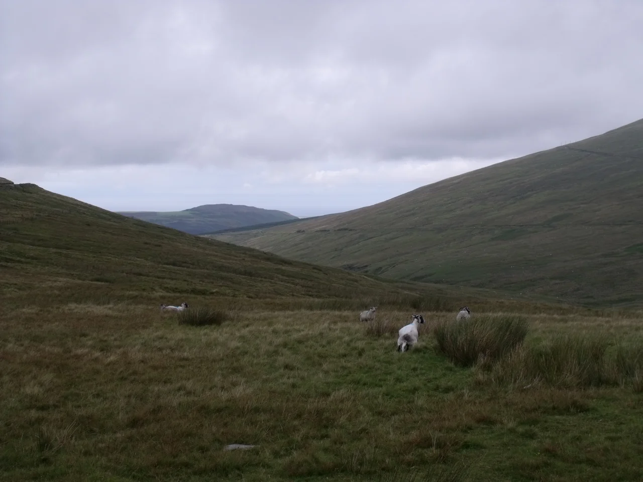

Snaefell
On 2 December 1966, hurricane-force winds tore the 120-foot Civil Aviation Authority radio mast off the summit of Snaefell. Four years later, in 1970, an automated weather station at the top recorded a gust of 150 mph, one of the highest wind speeds ever measured in the British Isles. Most days are calmer than that, but only just. Snaefell is a mountain whose weather expects to be taken seriously, and a mountain whose summit is reachable by a Victorian electric tram, by a winding A-road, and by a 45-minute walk up gravel and slate and slippery grass.
A Single Summit Above Two Thousand Feet
Snaefell is the highest mountain on the Isle of Man and the only summit on the island above 2,000 feet, standing 620.9 metres (2,037 ft) above sea level. Its name comes from the Old Norse Snaefjall, the snow mountain, a remnant of the Viking centuries when Norse rulers held the island. The summit itself is a strange combination of natural and built. A small concrete obelisk holds the geodetic marker that defines the true mountain top. A short distance away a rock cairn carries an information plaque pointing to landmarks. Beyond that sit the railway station, the cafe, and several communications masts that make the peak visible from miles around even when the mountain itself is wrapped in cloud.
The Six (or Seven) Kingdoms
A Manx saying holds that from the top of Snaefell on a clear day six kingdoms are visible: the Isle of Man, England, Ireland, Scotland, Wales and Heaven. A seventh, the kingdom of Manannan, the sea god of Manx tradition, is sometimes added. The geography lives up to the boast. The summit plaque lists distances: 31 miles to the Mull of Galloway in Scotland, 51 miles to Scafell Pike in England, 66 miles to the Mountains of Mourne in Northern Ireland, 85 miles to Liverpool, 97 miles to Dublin. Wales does not appear on the plaque, despite being visible: in good conditions you can see the northern coast of Anglesey from here, along with the southern coast of Dumfries and Galloway, the Lake District fells and County Louth across the Irish Sea. All four nations of the United Kingdom can in theory be seen at once.
Three Ways Up
Most visitors arrive by tram. The Snaefell Mountain Railway, opened in 1895, runs a seasonal service from April to October that climbs five miles from Laxey to a summit terminus, taking around half an hour each way. The wooden electric cars use a Fell centre rail for braking on the steep descent. The second way up is by foot. Walkers usually park near the Bungalow station, the last railway halt before the summit, on the A18 Snaefell Mountain Road. From the car park a rough path goes up; the trail mixes gravel, slate stones, grass and rock; the angle steepens noticeably near the top. No climbing equipment is needed, but the surface gets slippery in wet weather and the wind can be brutal. Average walking time on a dry path is about 45 minutes. The third way is by motorbike, in spectacular fashion: the A18 is part of the Snaefell Mountain Course, and the road over the slopes is the highest section of the Isle of Man TT circuit.
The Weather, and the Plaque
Snaefell makes its own weather. The summit is exposed to winds straight off the Irish Sea, and the records reflect it: that 150 mph gust in 1970, the mast taken down in 1966, fog and rain that can roll in within minutes even on a forecasted clear day. On the rare blue afternoon the view repays everything. Stand by the obelisk, turn slowly, and the six kingdoms come round one after another, with Wales not on the plaque but in the haze on the southern horizon. The cairn's information plaque points out the bearings; the geodetic marker fixes the spot scientifically; the cafe at the summit station serves tea. The slopes below carry walkers, the Mountain Course, the railway and a memory of the Snaefell mine workings on the east face. None of which, on a wild day, matters: there is only wind and white mist and the sound of metal cables singing.
From the Air
Snaefell stands at approximately 54.263 degrees north, 4.462 degrees west, the centerpiece of the island's mountainous spine. From the air the summit is unmistakable: the only peak on the island above 2,000 feet (620.9 m), crowned with white communications masts. The Snaefell Mountain Railway traces a thin line up the eastern flank from Laxey; the A18 Mountain Road wraps the upper slopes as part of the TT course. Ronaldsway Airport (EGNS) lies about 18 nautical miles south. The summit makes its own weather; allow generous clearance and watch for rapidly changing visibility.
Nearby Stories
- St Bees Lighthouse 15 km away
- Celtic Array 22 km away
- Kirkmaiden 23 km away
- Isle of Whithorn 23 km away
- Seascale Lifeboat Station 31 km away
- German submarine U-1024 36 km away
- SS Georgetown Victory 40 km away
- Blackpool Illuminations 56 km away