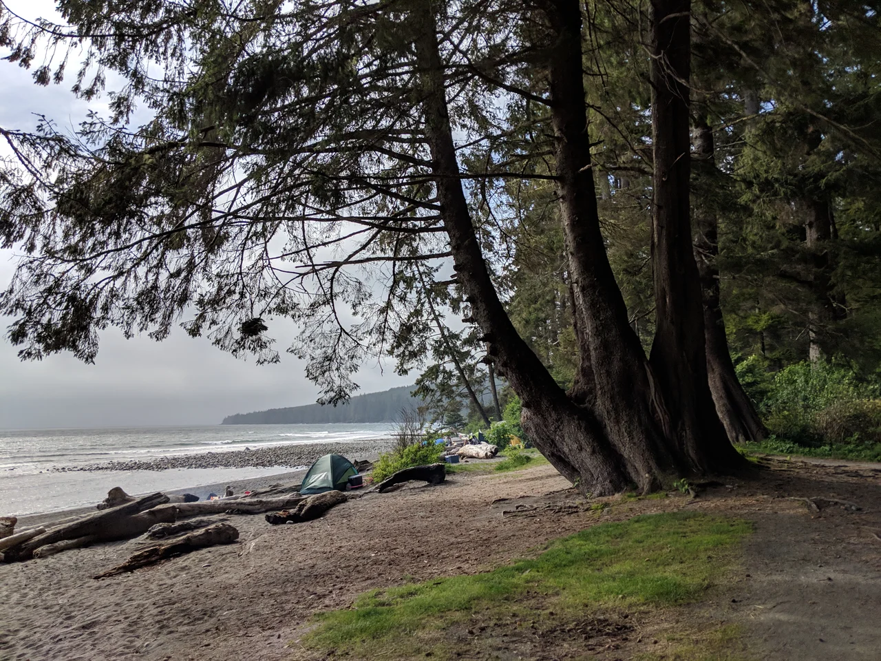

Sombrio Beach
Three numbers decide how you arrive: 28.0, 29.6, 30.2. Those are the kilometre marks on the Juan de Fuca Marine Trail where side paths drop out of the rainforest and spill onto Sombrio Beach, and which one you choose determines whether you meet the surf at its eastern end, its western end, or somewhere past that again. Most people skip the arithmetic entirely and come in from British Columbia Highway 14, down a short trail from a parking lot with restrooms, which is how a stretch of coast this exposed ends up hosting both multi-day backpackers and families carrying folding chairs.
Where the River Meets the Strait
The beach lies on the southwest coast of Vancouver Island, in the western Capital Regional District, southeast of the settlement of Port Renfrew. It sits astride the mouth of the Sombrio River, west of Sombrio Point, facing the Strait of Juan de Fuca. Part of it falls inside Juan de Fuca Provincial Park; part of it does not. That split matters less on the ground than it does on a map, because what you actually see is a long arc of cobble and sand with a river cutting through it and an unbroken horizon of grey-green water beyond. On clear days the Olympic Mountains stand up on the far shore, close enough to read their snowfields. On most days the strait supplies weather instead of views.
Qwa:qtlis
This is Pacheedaht territory, and the beach was the site of a village called Qwa:qtlis, where people fished and harvested from the river mouth and the intertidal shelf. The name Pacheedaht translates as People of the Seafoam. The nation is one of fourteen independent Nuu-chah-nulth band governments, centred today on the Gordon River near Port Renfrew, with roughly three hundred registered members. That is a small number attached to a very long tenure. Every practical advantage a modern visitor notices here - fresh water arriving at the shoreline, shelter behind the point, a shelf that fills with food twice a day - was the reason a village stood on this exact ground long before anyone drew a park boundary through it.
Winter Is the Season
BC Parks calls Sombrio a world-class surfing area, and it is careful to add when: primarily in the winter months. That inverts the usual beach calendar. July brings the trail traffic; November through February bring the swell, generated far out in the North Pacific and funnelled straight up the strait. Windsurfers work the same water. It is not a gentle place to learn - the shore is cobble rather than forgiving sand, and the park warns of rogue waves on exposed beaches. What draws people is exactly what makes it demanding. You paddle out in a full winter suit, in the rain, with rainforest at your back and a Washington mountain range on the far side of the break.
A Trail That Answers to the Tide
Juan de Fuca Provincial Park was assembled on 4 April 1996, stitching together the existing China Beach, Loss Creek and Botanical Beach parks and folding in unprotected stretches like Sombrio and Mystic Beach - 1,528 hectares in total. The 47-kilometre Marine Trail through it had been built the year before, conceived as a southern counterpart to the West Coast Trail farther north. It is not a boardwalk stroll. Hikers meet uneven ground, slippery mud, creek crossings, steep embankments and ladders, and some coastal sections are simply impassable at high water, so the tide table, not the map, sets the day's schedule. The park is bear and cougar habitat throughout. Roughly 450,000 people visited in 2017-18, most of them, gratefully, on the short walk in from the highway.
From the Air
Sombrio Beach lies at 48.4994 N, 124.3008 W on the Strait of Juan de Fuca. Fly the coast at 2,500-4,000 ft AGL: the beach reads as a pale arc broken by the dark thread of the Sombrio River, with Sombrio Point just to the east and Highway 14 threading the timber a short way inland. Port Renfrew sits up the coast to the northwest. Victoria International (CYYJ) is about 65 km east-southeast, Victoria Harbour water aerodrome (CYWH) slightly beyond it, and William R. Fairchild International at Port Angeles (KCLM) about 70 km southeast across the strait. Expect marine stratus and fog along this shoreline through summer mornings and strong southeasterlies with low ceilings during winter storm cycles - the same systems that build the surf.
Nearby Stories
- Sooke Potholes Regional Park 2.8 km away
- Cowichan Tribes 9.9 km away
- Sappho, Washington 11 km away
- SS Valencia 15 km away
- SS Pacific (1850) 15 km away
- Honeymoon Bay, British Columbia 16 km away
- Olympic National Park 29 km away
- Juan de Fuca Channel 64 km away