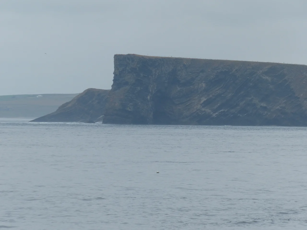

South Ronaldsay
Officially, the Churchill Barriers were built so the farmers of South Ronaldsay could move their sheep around more conveniently. That was Winston Churchill's story when he ordered the project in 1940, and it was almost convincing. The fact that the four enormous causeways happened to seal every eastern entrance to Scapa Flow - the fact that they prevented exactly the kind of submarine attack that had sunk HMS *Royal Oak* the previous year - was, the official line went, a happy coincidence. The fact that they were built by Italian prisoners of war, whose use for military construction was forbidden under the Geneva Conventions, made the cover story essential. The causeways were not finished until 1945. By then the war was over, the sheep had been getting around fine for centuries, and Churchill could plausibly maintain that the whole thing had been agricultural infrastructure all along.
An Island Named for a Saint Named for a Saga
South Ronaldsay sits at the southern end of Orkney, separated from the Scottish mainland by the Pentland Firth and tied to the rest of Orkney by the Churchill Barriers. The main settlement is St Margaret's Hope - locally just the Hope - with about 550 of the island's 900 or so residents. The island name does not come from the English saint Margaret. It commemorates Rögnvald Kali Kolsson, the twelfth-century Earl of Orkney who was later canonised as St Ronald and the same earl for whom North Ronaldsay is named. Rognvald was an unusual character: a Norse aristocrat who travelled as far as Jerusalem on crusade and wrote poetry along the way. One of his preserved verses describes wading through the mud of Grimsby for five weeks: *Muck, slime, mud. We waded for five mired weeks, reeking, silt-fouled bilge-boards souring in Grimsby bay.* The English Lincolnshire town has rarely had a better notice.
The Sinking of the Royal Oak and What Followed
On the night of 14 October 1939 the German submarine *U-47* threaded through the eastern approaches of Scapa Flow at high tide, slipped past the inadequate World War I blockships, and torpedoed the battleship HMS *Royal Oak* at her anchor. The ship rolled and sank within minutes. Of her 1,234-man complement, 835 were lost, including many young Boy Sailors and Royal Marines. It was a hammer blow to British morale at the outset of war - an elderly battleship barely suitable for front-line service, lost at the supposedly safe anchor of the Royal Navy's main fleet base. The *Royal Oak* lies on the bottom of Scapa Flow a few miles from South Ronaldsay, a designated war grave, never dived. The eastern blockships - the rusted wrecks still visible from the road today - are open to recreational divers and have become some of the most-dived shallow shipwrecks in Britain. Churchill ordered the causeways the following year.
Tombs, Otters, and Eagles
Long before the war, South Ronaldsay was a Neolithic landscape. The Tomb of the Eagles - properly the Isbister Chambered Cairn - was discovered on a cliff edge by a farmer called Ronald Simison in 1958 while he was digging flagstones for a wall. Inside lay the bones of at least 324 individuals along with the talons of white-tailed sea eagles. The site closed to visitors in 2020 but was taken into community ownership in 2025 with a £101,607 grant, with plans to reopen. Nearby lies the Tomb of the Otters at Banks, dating from around 3000 BC and discovered in 2010, where centuries of otters lived and died inside the unsealed tomb, their bones mixed with the human remains. It is currently closed to visitors with no announced reopening. The Sorquoy Standing Stone, near Wheems Organic Farm, marks the same era of building. The eastern cliffs that hold these tombs are also where HMS *Narborough* and HMS *Opal* were wrecked in a snowstorm in 1918, with the loss of 188 men.
St Margaret's Hope and the Hoxa Headland
The Hope itself is a quiet village of stone-built houses around a small bay, with a single hotel, a couple of shops, and the Smiddy Museum recording the long history of agricultural blacksmithing on the island. Pentland Ferries run from Gills Bay on the Scottish mainland three times a day, an hour each way, into a harbour that has been the main south arrival point for centuries. Three miles west, Hoxa Head is a high cliff walk past the concrete ruins of a Second World War gun battery that once helped guard the western approach to Scapa Flow. The path follows the cliff top above seas where seals, porpoises, and occasional orcas pass through the Pentland Firth. The view south across the firth on a clear day reaches all the way to John o' Groats and the cliffs of Duncansby Head, eight miles distant across a strait that has killed a great many people who tried to cross it less cautiously than the Pentland ferry does today.
From the Air
South Ronaldsay sits at 58.78°N, 2.95°W, the southernmost large island of the Orkney group. From the air the island appears low and green, connected by the four Churchill Barrier causeways running north through Burray to Mainland Orkney. The Pentland Firth lies immediately south. Kirkwall Airport (EGPA) is fifteen miles north on Mainland. Wick (EGPC) is forty miles south on the Caithness mainland. Recommended viewing altitude 3,000-5,000 feet for the wider context including all four Churchill Barriers and the rusting blockships visible at low tide alongside them. The east coast cliffs, where HMS Narborough was lost, are most dramatic in low side-light.
Nearby Stories
- Battle of Harpsdale 5.8 km away
- Noss Head Lighthouse 7.2 km away
- Broch of Gurness 8.7 km away
- Thurso 23 km away
- HMS Daring (H16) 45 km away
- German submarine U-58 (1938) 60 km away
- Fair Isle 70 km away
- The Laki Eruption: The Volcano That Changed World History 954 km away