
Thurso
The name almost certainly comes from Thor. This far north, where the Pentland Firth separates Caithness from Orkney, the country was Norse until the thirteenth century, and the river that runs through the town and gives it its name - Thurso, Thor's river - kept the god's mark even after the language changed. The town today has a population of around 7,390. It sits on a wide bay open to the North Atlantic, with the white sphere of Dounreay visible 9 miles to the west and the silhouette of Hoy across the firth to the north. People come here for three reasons: to catch the ferry to Orkney, to surf, and because they work at the nuclear plant. The surfers, surprisingly, are the largest of the three groups.
Grid Pattern at the Top of Britain
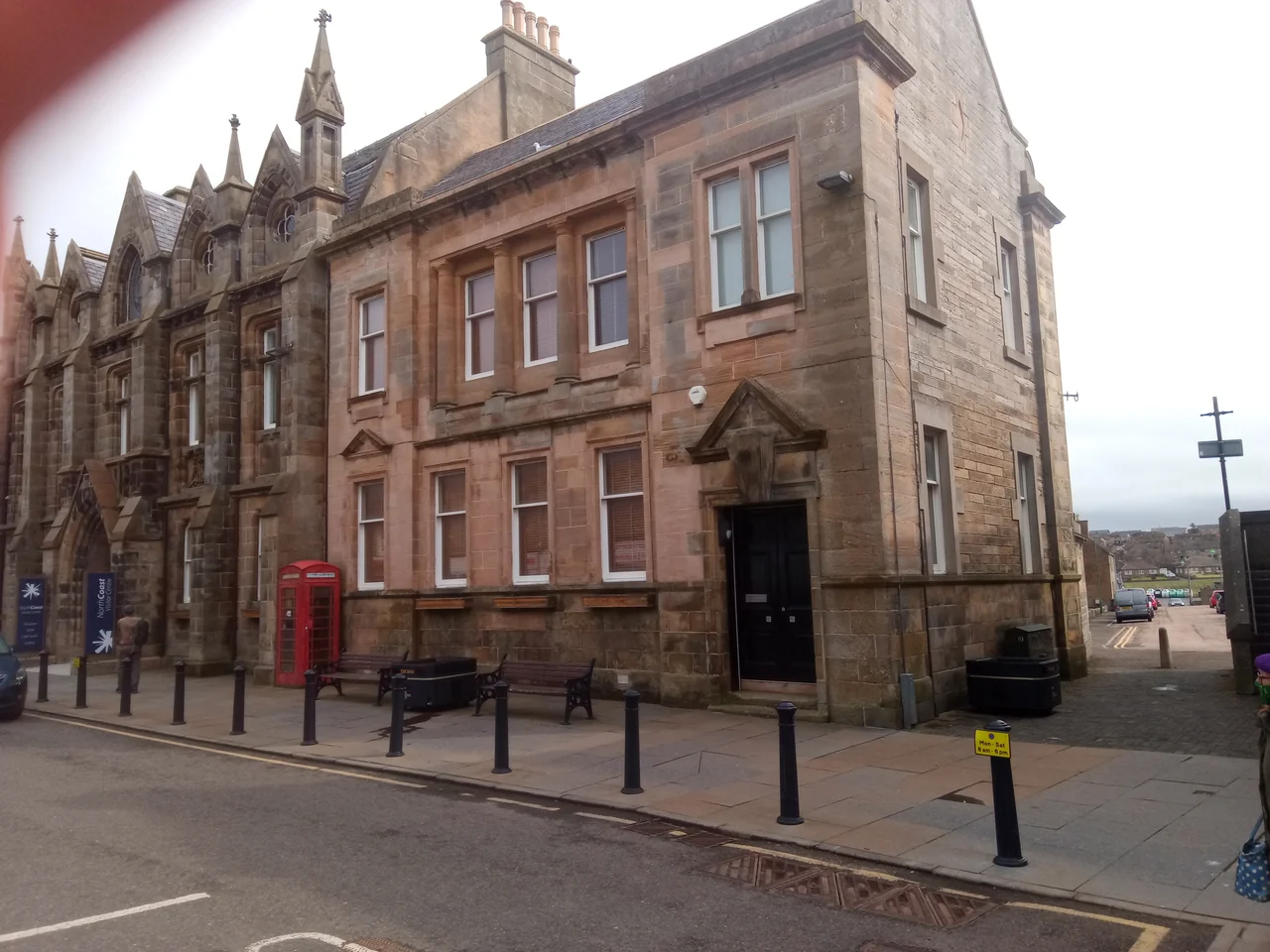
The present town was laid out on a grid pattern in the 19th century, when the railway arrived and the population needed reorganizing. The streets run straight and the buildings - mostly grey local sandstone - line up in a way that feels unexpectedly metropolitan after the rolling moorland to the south. St Peter's and St Andrew's, the Gothic Revival parish church on Princes Street, was completed in 1832. Meadow Well, a small house-shaped structure on Manson's Lane just off Traill Street, still marks the well that served the town's water supply until Loch Calder took over in 1876. Thurso Castle, east of the river, is the ruin of an 1872 Gothic pseudo-castle built over earlier 12th- and 17th-century predecessors; it was partly demolished in 1952, though the 3rd Viscount Thurso, born in 1953, somehow still inhabits what's left. Harold's Tower, a mile east, is the family mausoleum. Above the harbour at Scrabster, two miles north, Bishop's Palace (also called Scrabster Castle) survives as earthworks and courses of masonry from perhaps the 14th century.
The Sphere to the West
Thurso's modern population owes itself almost entirely to one decision made in 1955: to build the Nuclear Power Development Establishment at Dounreay, nine miles west of town. The fast breeder reactor sphere - 42 metres of white sheet steel - became the visible signature of a town that grew to support it. Civilian fast reactor designs intended to replace the inefficient Magnox generation, and prototype submarine reactor cores for the Royal Navy, were tested here. Dounreay supplied electricity to the National Grid for fifteen years, but it was never a mainstream power station; it was always an experiment. All five reactors are now closed, and decommissioning will continue for centuries. The large workforce remains during the cleanup, which is what keeps Thurso's grid streets full of cars and its schools full of children. The visitor centre is long closed - they don't offer tours - so anyone wanting to see a working reactor must travel to Torness near Dunbar or Hunterston near West Kilbride.
Surf at 58 Degrees North
Thurso East - the cluster of reef breaks on the rocky shore just east of the town - is one of the best cold-water surf spots in Europe. The waves come in at three metres, often hollow, surfable on all tides but best on the incoming. The water is around 8 to 10 degrees Celsius in summer, dropping near freezing in winter, and the wetsuits are thick. World Qualifying Series events have been held here. Professional surfers fly in from Hawaii and California to ride waves named after the Pentland Firth swells that build them. A few miles west, Sandyside Bay offers a sandy beach near Reay Golf Club. Holborn Head, the peninsula just north of Scrabster, gives walkers a view down onto Clett Rock - a sea stack swirling with seabirds - and across to the cloud-wreathed cliffs of Hoy. In winter, when the sky is dark enough, the aurora borealis appears overhead; summers here never quite get dark.
Getting Beyond the End
Scrabster harbour, two miles north of Thurso, is the main route to Orkney. NorthLink Ferries run two or three times a day to Stromness on Orkney Mainland, taking 90 minutes and passing close enough to the Old Man of Hoy that you can read the seabirds on its ledges. From Stromness, buses go to Kirkwall, and from Kirkwall ferries continue to Lerwick on Shetland or south to Aberdeen. The train south from Thurso runs four times a day to Inverness via Georgemas Junction (where it joins the line from Wick), Helmsdale, Brora, Golspie, Tain, and Dingwall. The journey takes about four hours and crosses some of the emptiest landscape in Britain. By road, the A9 is 110 miles of undivided highway to Inverness - reckon three hours - and the A836 west traces the wild north coast toward Cape Wrath. The North Coast 500, a tourist circuit invented in 2015, has put Thurso on the route map of motorcyclists and campervans, for better or worse.
The Wolfburn and the Oatcake
Wolfburn Distillery, the most northerly whisky distillery on the Scottish mainland, started production again in 2013 after a gap of about 145 years - the original Wolfburn had operated from 1821 until the 1860s. Reid's of Thurso, on the high street, makes oatcakes and shortbread that local opinion places at the top of any list. The river mouth in summer is a place to watch for seals, otters, and sunsets; in winter it is a place to look for the northern lights. Five hotels handle visitors - the Premier Inn by the station, the Muthu Royal on Traill Street, the Holborn, the Weigh Inn at the western edge, and the Park east of the river. Beyond Thurso, west on A836, the road runs to Bettyhill and the Strathnaver Museum, then onwards along an emptier coast toward Cape Wrath and Durness. North is water, and after that, Orkney.
From the Air
Thurso lies at 58.596°N, 3.521°W on Thurso Bay at the top of the Scottish mainland. The town is laid out in a clear grid pattern, with Scrabster harbour 2 nm north-northwest. Best viewed at 1,000 to 2,500 feet AGL: distinctive landmarks include Holborn Head and Clett Rock to the north, the Dounreay sphere 9 nm west, and the cliffs of Hoy across the Pentland Firth. Wick John o' Groats Airport (EGPC) is 16 nm east-southeast - the only commercial field in Caithness; Inverness (EGPE) lies 95 nm south. Pentland Firth weather is challenging: strong winds, rapid changes, frequent low cloud, and tidal-driven sea fog on calm days.
Nearby Stories
- John o' Groats 6 km away
- Scapa Flow 6.7 km away
- Bettyhill 10 km away
- Loch Naver 13 km away
- Dunbeath Air Crash 17 km away
- Stromness Museum 24 km away
- HMS Exmouth (H02) 40 km away
- The Laki Eruption: The Volcano That Changed World History 938 km away