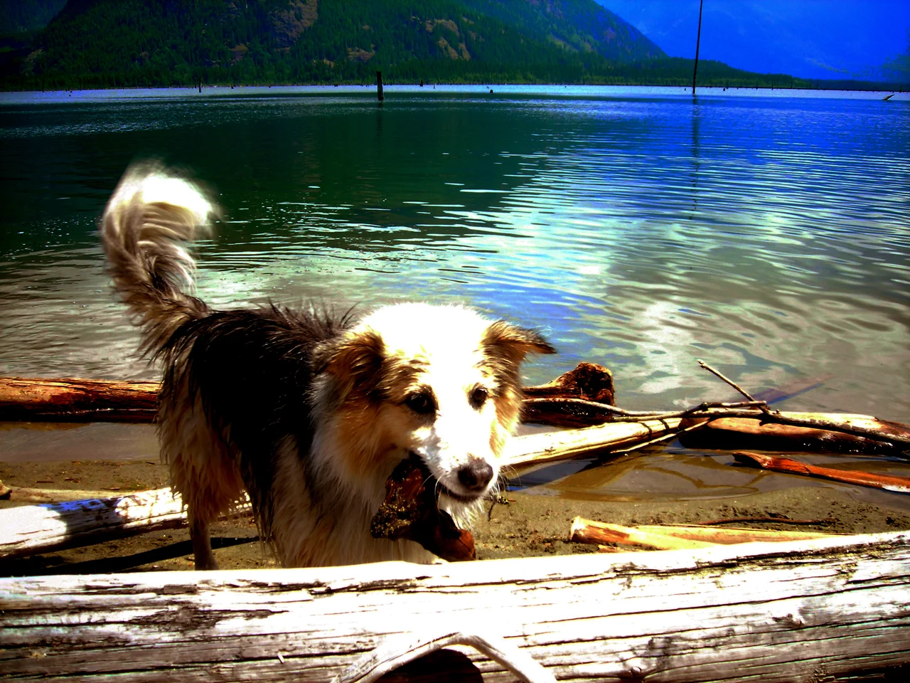

Stave Lake
For decades after the water rose, the trees were still standing in it. Stave Lake's cedars had not been cut before the valley was flooded; they were simply submerged where they grew, and they stayed upright beneath the surface for the better part of a century, a drowned forest with a reservoir on top of it. In the 1980s and 1990s crews went in after that timber, working through prolonged drawdowns when BC Hydro lowered the lake far enough to reach it. Red cedar does not rot quickly. What came out of the water had been dead for sixty years and was still worth milling.
The People of the River
The Stave was a productive salmon river, and the territory belonged to the Sxa'yaks - the Skayuks - a Halqemeylem-speaking Coast Salish people related to today's Stó:lo. They are not here any longer. Smallpox arrived with Europeans, the population collapsed, and the Kwantlen First Nation expanded into the ground the survivors could no longer hold. It is a short paragraph in a reference work and an entire world ending, and it happened before most of the written record of this valley begins. Whatever names the Skayuks had for the reaches of this river, the falls, the fishing places, are not in the record either. The names the map uses now are all from afterwards.
Cedar Worth Drowning
What drew industry here was the timber. The lower Stave grew red cedar at a size that brought lumber companies up from the coast, chief among them Stave Lake Cedar, whose mill stood a mile above the damsite. Then a second industry arrived with a different use for the same valley. Stave Falls Dam was completed in 1912, and work through the 1920-22 period under the Stave Falls Power Company - later a subsidiary of the British Columbia Electric Railway - built the system out substantially, raising the Upper Stave and flooding its forests. What came with the dam was a whole settlement: bunkhouses, a community hall, a sizeable workers' town, and a railway line known as the Stave Falls Branch. Below, the same thing happened again in 1930, when Ruskin Dam filled a canyon comparable to Capilano or Lynn and made Hayward Lake.
A Lake Made Three Times Bigger
Stave Lake today covers about 55 square kilometres. Its main arm runs roughly 20 kilometres north to south, with a southwest arm about 9.5 kilometres long ending at Stave Falls Dam. Before the dam, the lake was around a third the size of that main arm alone - which is to say the reservoir is mostly not a lake at all but a flooded valley wearing one. The climate here is oceanic, and emphatically so: average annual precipitation runs to 2,359.4 millimetres, well over two metres of rain and snow a year pouring off the Pacific Ranges into this catchment, which is exactly why the engineers wanted it. The extremes are startling for a coastal valley. The thermometer reached 40.0 °C on 25 June 1925, and fell to -26.7 °C on 31 January 1929.
A Cathedral on Pilings
Film crews found the Stave Dam complex and built something remarkable there for the movie We're No Angels: an entire fake town, and with it a timber cathedral - a real one, actually constructed, driven into Stave Lake on pilings. Everything came down when shooting finished, with a single exception. A gazebo-style bandstand from the set was moved downstream to the Hayward Lake Recreation Site just below Stave Dam, where it now stands among the picnic tables on the ground that once held the dam workers' housing, beside a lakeside trail that follows an old railway right-of-way. It is the only surviving building of a town that never existed.
Mud Flats and Cabins
BC Hydro controls most of the shoreline, which has kept Stave Lake from acquiring the ring of cottages that would otherwise surround a body of water an hour from Vancouver. A handful of private cabins sit along the east shore, reached by Sylvester Road. Zajac Ranch, a summer camp for children with special needs, occupies ground on the southwest side. And at the southwest end, where the drawdown exposes an enormous expanse of sand and silt each year, the lake has become one of the best-known off-road destinations in British Columbia - trucks and dirt bikes churning across flats that are lakebed for half the year. It is a peculiar sort of wilderness: engineered, industrial in origin, and genuinely wild the moment you look north toward Mount Robie Reid and the peaks beyond it.
From the Air
Located at 49.367N, 122.300W, roughly 65 km east of Vancouver on the northern edge of Mission, British Columbia. Best viewed at 4,000-6,000 ft AGL, high enough to take in the full 20 km main arm and the mountains that wall it. The shape is the identifier: a long north-south trough with a distinct southwest arm reaching about 9.5 km to Stave Falls Dam, and a broad pale delta of exposed mud flats at its southwestern end when the reservoir is drawn down. Follow the Fraser River east to Mission, then track north past the narrow sliver of Hayward Lake and Ruskin Dam. Mount Robie Reid rises on the northeast side of the lake, the Golden Ears stand to the west, and Mount Baker dominates the horizon about 40 nm southeast. Nearest airports: Pitt Meadows (CYPK) about 18 nm southwest, Chilliwack (CYCW) about 19 nm southeast, Abbotsford (CYXX) about 21 nm south, and Vancouver International (CYVR) about 36 nm southwest. This is a very wet catchment - over 2,300 mm of precipitation annually - so expect cloud jammed against the ranges, valley fog on calm mornings, and rapid deterioration in frontal weather.
Nearby Stories
- Peace Arch 6.4 km away
- Westwood Motorsport Park 6.7 km away
- Sumas–Huntingdon Border Crossing 8.4 km away
- Lower Mainland 18 km away
- Garibaldi Provincial Park 57 km away
- Manning Provincial Park 68 km away
- North Cascades National Park 82 km away
- Okanagan 140 km away