The Island That Shook the World
Ask someone on the western half of this island where they live, and they will say Sumbawa. Ask someone on the eastern half, and they will say Bima. They are standing on the same piece of land—a 15,000-square-kilometer island in the Lesser Sunda chain—but they speak mutually unintelligible languages, answer to different cultural traditions, and orient their lives toward different towns. Between them, geographically and historically, stood a third group whose language was related to neither. Then, in April 1815, Mount Tambora erupted with a force that rewrote the island's human geography, its global climate, and the very shape of the mountain itself. Sumbawa is the island where the boundary between Indian-influenced western Indonesia and the more distinct cultures of the east becomes visible—an island defined as much by what it divides as by what it contains.
The Benevolent Mountain's Fury
The island's name traces back through Portuguese Cumbava to the Sanskrit word śāmbhava, meaning "related to Shambhu"—"the Benevolent," an epithet for the Hindu god Shiva. The irony would become catastrophic. Mount Tambora, the stratovolcano rising from the Sanggar Peninsula on Sumbawa's northern coast, erupted on April 10, 1815, in what remains the most powerful volcanic eruption in recorded history. The blast ejected an estimated 160 cubic kilometers of ash and debris into the atmosphere, killed up to 71,000 people directly and through the famine that followed, and reduced Tambora's summit by roughly a third—leaving behind a six-kilometer-wide caldera where a peak had been. The eruption triggered the "Year Without a Summer" in 1816, causing crop failures from New England to China. It also obliterated an entire culture. The Tambora people, a group of Papuan linguistic affinity who lived on the mountain's slopes, vanished—their language, discovered by archaeologists in buried artifacts, related to neither of the island's two surviving tongues.
Two Halves, One Island
The cultural division of Sumbawa predates Tambora's eruption by centuries, but the disaster deepened it. On the western side, the Sumbawa people speak Basa Semawa, a language closely related to Sasak from neighboring Lombok. On the eastern side, the Bima people speak Nggahi Mbojo, which has more in common with the languages of Flores and Sumba. The two largest towns—Sumbawa Besar in the west and Bima in the east—serve as the centers of these distinct cultural spheres. Between them, in the cloudy highlands west of Bima Bay, live the Don Donggo, the "Mountain People," a small minority ethnic group who have occupied those misty slopes for generations. Islam arrived on Sumbawa through the Makassarese of Sulawesi and became the dominant faith across the island, but beneath that shared religion the cultural fault line persists. Western Sumbawa looks toward Bali and Java; eastern Sumbawa faces Flores and the islands beyond.
Empires, Sultanates, and Invaders
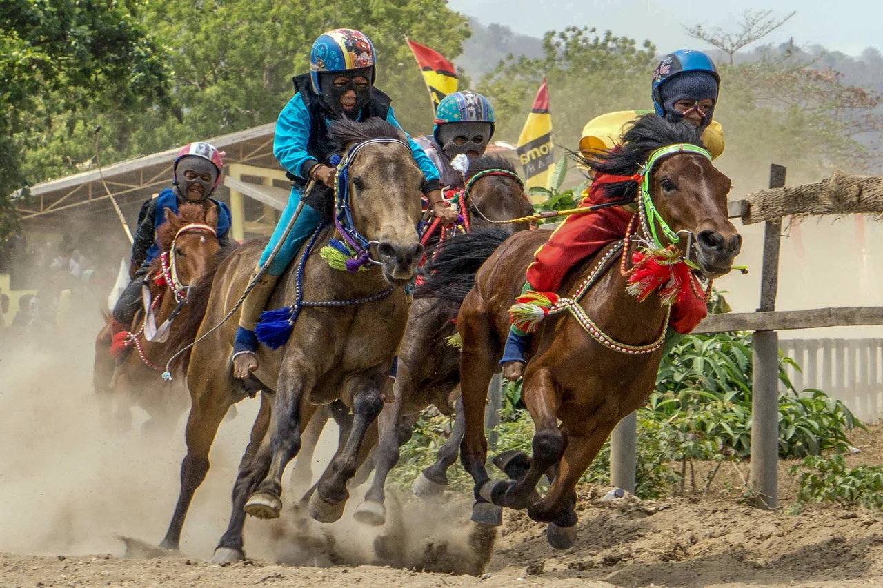
Sumbawa's natural wealth made it a target. The 14th-century Javanese chronicle Nagarakretagama lists several principalities on the island as dependencies of the Majapahit Empire. Sappanwood for red dye, sandalwood for incense and medicine, honey, and horses—the island's exports drew the Javanese, the Balinese kingdom of Gelgel, the Makassarese and Bugis traders of South Sulawesi, and eventually the Dutch, who arrived in 1605 but did not effectively control the island until the early 20th century. The Japanese occupied it during World War II. Through these successive waves, four sultanates—Sumbawa, Sanggau, Dompo, and Bima—governed the island's eastern and central regions, maintaining links to South Sulawesi that shaped the island's Islamic character. In the 18th century, the Dutch introduced coffee plantations on Tambora's western slopes, creating the Tambora coffee variant—a botanical legacy that would be buried under meters of volcanic debris within a century.
Copper, Surf, and Hard Roads
Modern Sumbawa is a place of stark contrasts. The Batu Hijau copper and gold mine in the island's southwest, now operated by PT Amman Mineral Nusa Tenggara (formerly Newmont, which sold its stake in 2016), has given the surrounding West Sumbawa Regency one of the highest GDP-per-capita rates in all of Indonesia. Yet most of the island's 1.67 million residents work in agriculture, and when rains fail, food insecurity follows. Over 500,000 workers from West Nusa Tenggara province—more than 10 percent of its population—have left to find work overseas in the Middle East, China, and Singapore. The road network is poorly maintained, with long stretches of rough gravel connecting towns that ferries and infrequent flights also serve. Tourism is nascent but growing. Surfers have discovered world-class breaks at Jelenga and Supersuck beaches, and Moyo Island in Saleh Bay draws visitors to its reefs and forests. Sumbawa remains a place where getting there is part of the adventure—and part of the difficulty.
A Landscape Still Restless
Tambora still dominates Sumbawa's geography even in its diminished state—it remains the island's highest point despite losing a third of its height. Saleh Bay, the massive indentation on the northern coast, and the Sanggar Peninsula where Tambora stands give the island its distinctive shape from the air: two large lobes connected by a narrower central section. To the east, volcanically active Sangeang Island smolders offshore, a reminder that the tectonic forces shaping this region have not finished their work. The Komodo Islands lie just beyond the Sape Strait, the gateway to a different ecological and cultural world. Sumbawa sits precisely at the seam—between tectonic plates, between cultural spheres, between the Indian Ocean to the south and the Flores Sea to the north. It is an island where the earth has literally rearranged human history, and where the aftershocks, geological and cultural alike, continue to shape life on its slopes and shores.
From the Air
Coordinates: 8.82°S, 117.95°E. Sumbawa is a large island (15,448 km²) in the Lesser Sunda chain, east of Lombok and west of Flores. Mount Tambora (2,850 m) on the Sanggar Peninsula is the dominant terrain feature. Sultan Muhammad Salahudin Airport (WADB) at Bima serves the eastern half. Saleh Bay creates a deep indentation on the north coast, making the island's two-lobed shape clearly visible from cruising altitude. The Komodo Islands are visible to the east across the Sape Strait. Best viewed at 20,000–30,000 ft for full island perspective. Caution: volcanic activity at Sangeang Api offshore.
Nearby Stories
- The Day the Earth Lost Its Summer 41 km away
- The Third Strike 93 km away
- Dragon Island: Where Monsters Are Real 107 km away
- When the Towers Fell: The Waru Wora Fire 116 km away
- Mount Rinjani National Park 122 km away
- Komodo National Park: Kingdom of the Dragon 124 km away
- Sumba's Hidden Kingdom of Wings 201 km away
- The Silent Wave: Java's 1994 Tsunami Earthquake 524 km away