
Temryuk
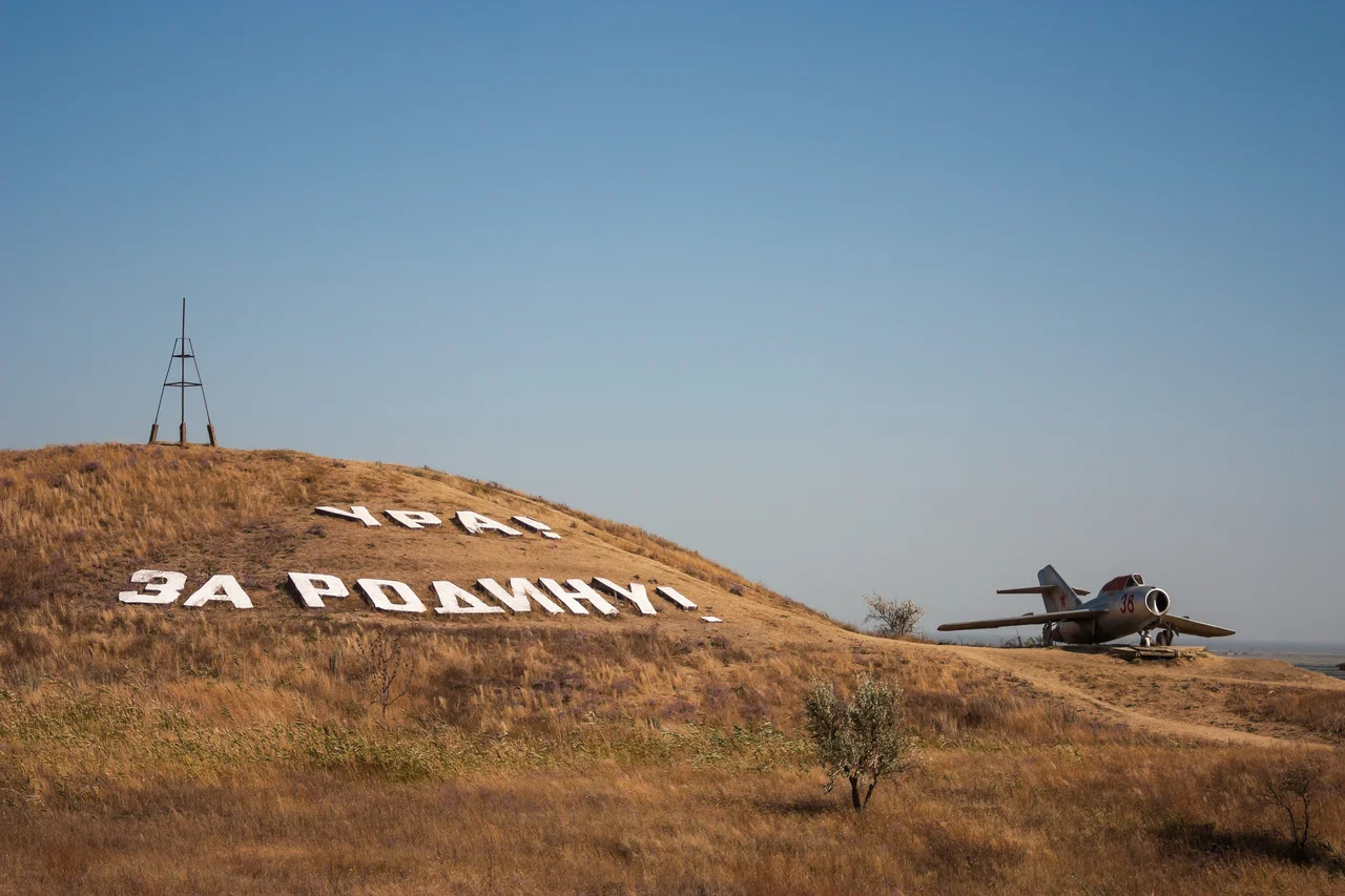
On a hill just outside Temryuk, tanks and gunboats sit rusting in the sun, arranged across a slope that is not an ordinary hill at all but the flank of a mud volcano. The open-air museum called Voyennaya Gorka, the Military Hill, may be the only war memorial on earth built on a geological feature that occasionally erupts cold gray mud from deep underground. It is a fitting emblem for Temryuk, a town at the mouth of the Kuban River on the Taman Peninsula, set amid a field of some twenty-five mud volcanoes, several still active. Here the land itself is unsettled, still bubbling and shifting, and the human history layered on top of it has been every bit as restless.
Land Made of Mud and Silt
Temryuk owes its very ground to slow geological drama. Tens of thousands of years ago, the Sea of Azov was far larger and rolled right over what is now the Kuban delta. Over the ages the great river dumped its silt into the sea, pushing the water back and building up a maze of shallow estuaries, and the region's mud volcanoes pitched in, adding their own eruptions to the deposition. The result is the low, watery, half-formed delta where Temryuk sits today. Those mud volcanoes are no mere curiosity. They are the ongoing engine of a landscape that is still being made, cones of cold slurry that swell and burst across the peninsula, a reminder that this corner of the Black Sea coast has never quite finished settling into its final shape.
The Prince and the Tsar
The town carries the name of a real man. In the sixteenth century, the Russians allied with a Circassian potentate named Temryuk of Kabardia, captured a Tatar fortress at the mouth of the Kuban, and built there a stronghold they called New Temryuk. That prince left a mark far larger than one frontier fort. His daughter, baptized Maria Temryukovna, traveled to Moscow and in 1561 became the second wife of Ivan the Terrible, tsar of all Russia, a Circassian princess of the Kuban raised suddenly to the Kremlin. The fortress her father's alliance built changed hands like so much else on this contested coast. The Crimean Tatars seized it back in 1570 and held it under the name Adis for a century, one more turn of a wheel that had already spun through Genoese merchants and the Crimean Khanate.
A Working Port at the River's Mouth
Cossacks settled the site in the eighteenth century, and their stanitsa was formally incorporated as the town of Temryuk in 1860. In the Second World War the region became a battlefield again as German forces pushed into the Kuban and took the town in 1942, the fighting later commemorated by the very tanks parked on the mud volcano. Today Temryuk is a busy working port, its harbor lying a few kilometers from the town proper on Temryuk Bay. It has become one of southern Russia's principal export points for liquefied petroleum gas, shipping out oil and grain and general cargo across the Sea of Azov. Fossil fuels from deep underground, tanks arrayed on a volcano, a landscape still building itself from mud and silt: Temryuk is a town where the ground and its history refuse to sit still.
From the Air
Temryuk lies at 45.27°N, 37.38°E on the northeastern Taman Peninsula, on the right bank of the Kuban River near its mouth at Temryuk Bay on the Sea of Azov. From the air, orient on the sprawling Kuban delta with its shallow estuaries and scattered mud-volcano cones; the port sits a few kilometers north of the town. Nearest airports are Anapa-Vityazevo (URKA) to the south and Krasnodar (URKK) to the east.
Nearby Stories
- Patraeus 8.3 km away
- Abrau Peninsula 24 km away
- Soviet Destroyer Smyshlyony 34 km away
- Arabat Spit 150 km away
- Meotyda National Nature Park 187 km away
- Beriev 198 km away
- Battle of the Tanais River 224 km away
- Abkhazia 328 km away