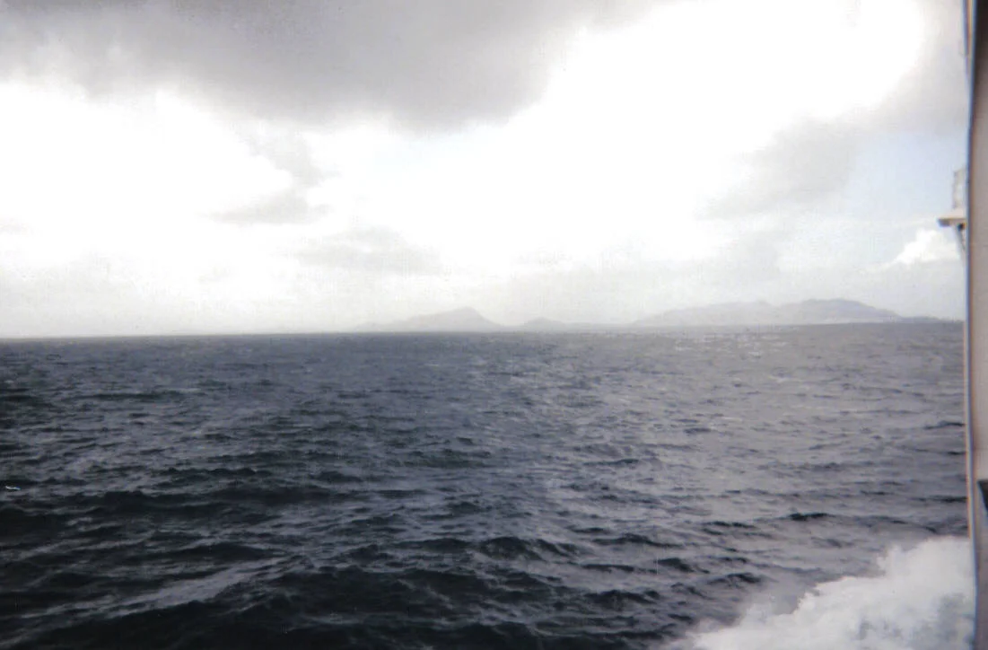

The Minch
Old Norse sailors called it Skotlandsfjörð - Scotland's firth - and they were not exaggerating. The Minch is the strait that separates the mainland from Lewis and Harris, seventy miles long and as much as fourteen miles wide, busy enough to carry two and a half million tons of shipping every month and old enough to have its own folklore. The blue men of the Minch are said to live in this water, rising to ask passing sailors questions in Gaelic verse and sinking ships whose captains could not reply in kind. Somewhere on the floor of this strait, geologists now believe, lies the impact site of the largest meteorite ever to strike the British Isles.
Two Names, One Strait
The Minch proper runs between mainland Wester Ross and Lewis. South of Lewis, where the strait narrows between Skye and the middle islands of the Hebridean chain, it becomes the Little Minch, about fifteen miles wide, before opening out into the Sea of the Hebrides. The whole system forms part of the Inner Seas off the West Coast of Scotland, as defined by the International Hydrographic Organization. The water is rarely calm. Atlantic swells push in from the north and west; the long fetch of the Minch itself raises sharp short seas in any kind of breeze; and the rocks and skerries between the islands turn navigation into a problem of memory and chart-work.
A Meteorite Underwater
Scotland's biggest known impact event left its mark somewhere here. The Ullapool bolide impact - identified from a layer of distinctive shocked-quartz ejecta in Stoer Group rocks on the mainland coast - was the largest meteorite strike ever recorded in the British Isles. In 2008 geologists announced the discovery; in 2019 they were closing in on the crater itself, which now appears to lie beneath the Minch. The strait is, in other words, both a present shipping lane and a billion-year-old wound, a stretch of sea that still hides the geometry of its own catastrophe.
Caledonian MacBrayne and the Traffic Lanes
Today the Minch is one of Britain's most heavily regulated stretches of coastal water. A traffic separation scheme runs through the Little Minch with northbound vessels keeping close to Skye and southbound vessels close to Harris - the maritime equivalent of a divided highway. Commercial ferries are operated by Caledonian MacBrayne, the state-owned company that ties the islands to the mainland with a network of routes most people in Scotland take for granted. On a fine day the ferries thread between basking sharks and minke whales; on a bad day they ride out swells that the eighteenth-century writers compared, with some justice, to the open Atlantic.
Lighthouses and Blue Men
The strait is hemmed by lighthouses. The southern entrance is marked by Barra Head, Ushenish and Hyskeir; Skye contributes Neist Point, Waternish and An t-Iasgair; the Outer Hebrides side shows Weavers Point, Eilean Glas, Tiumpan Head and Butt of Lewis; and the mainland adds Rubha Reidh, Stoer Head and Cape Wrath. A buoy off Eugenie Rock - named for the ship that grounded there in May 1859 - marks one of the worse hazards; the foundations of the old red-painted beacon on Sgeir Graidach are still visible at low tide. And then there are the blue men. In Hebridean folklore the storm kelpies of the Minch live in this water, blue-skinned and quick to argue, sinking boats whose captains lose the verse-game with them. Sailors here have always navigated by both chart and story.
The Long Swim
In June 2010 Eilidh Macdonald became the first person to swim across the Little Minch, from Waternish Point on Skye to Rodel on Harris - cold-water Atlantic swimming at its most exposed. The Minch Project, a collaboration of Comhairle nan Eilean Siar, the Highland Council and Scottish Natural Heritage, now works on reducing pollution, minimising erosion and litter, and promoting wildlife tourism in this water. Dolphin-watching from the Lewis ferries is one of the small economic engines of the islands. The blue men, presumably, are still in the deeps, still waiting for a captain who can finish the verse.
From the Air
The Minch centre-point is roughly 58.05°N, 5.97°W between Wester Ross and Lewis. From cruise altitude the strait is unmistakable as a dark blue ribbon between mainland mountains and the long line of the Outer Hebrides; the Little Minch tapers southward between Skye and Harris. Key reference points include Stornoway airport EGPO on Lewis (west side), Inverness EGPE to the east on the mainland, and the chain of lighthouses on both shores. The CalMac ferry tracks are constant traffic. Weather over the Minch can change in minutes - low cloud bases and strong westerlies are routine. The traffic separation scheme through the Little Minch creates dense surface vessel traffic worth noting at low altitudes.
Nearby Stories
- An Teallach 3.1 km away
- Lochinver Lifeboat Station 5.9 km away
- Eilean Chaluim Chille 6.6 km away
- HMS Nelson (28) 9.7 km away
- Clach an Trushal 10 km away
- Duntulm Castle 17 km away
- Kinlochbervie 18 km away
- German submarine U-905 23 km away