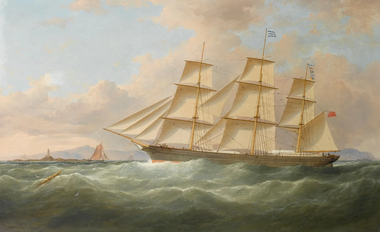

The Skerries, Isle of Anglesey
Sker is an Old Norse word and it means exactly what it looks like: rock. When Viking sailors first charted this small archipelago off the northwest tip of Anglesey, they were not interested in its history or its wildlife; they were noting a hazard. From their ships, the Skerries appeared as a low collar of dark stone in the middle of the only practical shipping route between Liverpool and Dublin, exactly where a southwesterly gale would pile a ship onto rocks before her crew knew where they were. Their Welsh-speaking neighbours had a less alarming name for the same place. They called it Ynysoedd y Moelrhoniaid - the Islands of the Seals - because in summer the grey seals haul out on the lower rocks in numbers that surprise everyone who sees them for the first time. Both names are still in use. Both are accurate.
Rock and Reef
The total area above mean high water is about 17 hectares - roughly the size of 17 rugby pitches scattered across a kilometre of sea. The individual islets are connected at low tide and by a series of small stone footbridges; at high water they separate again. The Skerries Lighthouse, first lit in 1717 and now Trinity House's, stands on the highest point of the largest island. The waters between the Skerries and Carmel Head on the Anglesey mainland are some of the most dangerous on the British coast: the tidal stream runs at up to 6 knots, the reef extends well beyond the visible rocks, and shipwrecks from at least the 17th century through the SS Castilian in 1943 are scattered across the seabed. The Royal Navy still maintains an exclusion zone around the Castilian because her cargo of munitions is still live.
The Tern Capital of Wales
If the Skerries are dangerous to ships, they are extraordinarily good to seabirds. Arctic terns - those small, white, scissor-tailed marvels that migrate from the Arctic to the Antarctic and back every year - nest here in nationally important numbers. So do common terns. The much rarer roseate tern breeds here too in small but persistent numbers; in 2018 two roseate tern chicks fledged from the Skerries for the first time in a decade, a small but heavily celebrated event in the British seabird-conservation world. Atlantic puffins, black-legged kittiwakes, herring gulls and lesser black-backed gulls all breed here as well. The islands form part of the Ynys Feurig, Cemlyn Bay and The Skerries Special Protection Area, which BirdLife International also classes as an Important Bird Area; the same site has been designated a Site of Special Scientific Interest under domestic law. Terns interchange regularly between the three sites and form part of a larger Irish Sea population that also breeds at Rockabill, off the coast of Ireland.
RSPB Summer Wardens and a Sooty Tern
From April to August each year, RSPB wardens take up residence in the old lighthouse keepers' cottages, which Trinity House made available after automation in 1987. Their work is unglamorous but consequential: counting nests, controlling the invasive tree mallow that would otherwise smother the colony, putting up nest boxes for roseate terns, intervening when great black-backed gulls take chicks. The wardens see things ordinary visitors never will. In July 2005 they spotted a sooty tern, a tropical species that essentially never appears in British waters - a record so unusual it brought a small wave of obsessive birders chartering boats out of Holyhead for a quick look. For most visitors, though, the islands remain a place glimpsed from a charter boat: low rocks white with bird droppings, terns dropping like darts into the sea, the lighthouse standing white against the granite, and beyond it the swell rolling in from the Irish Sea exactly as the Vikings would have seen it.
From the Air
The Skerries lie at 53.422N, 4.608W, about 3 km offshore from Carmel Head at the northwest corner of Anglesey. From the air the islets form an unmistakable cluster of low dark rocks with the white Skerries Lighthouse on the largest. Nearest airfield is RAF Valley (EGOV) 12 nm south-southwest; Caernarfon (EGCK) 22 nm south. The islands and a 500-metre buffer are a Special Protection Area for seabirds - maintain at least 1,500 ft AGL between April and August. Strong tidal streams in the channel between the Skerries and Carmel Head create visible standing waves at certain states of the tide. The Castilian wreck exclusion zone lies just southeast of the islands.
Nearby Stories
- Snowdon Mountain Railway 8 km away
- German submarine U-1051 8.3 km away
- German submarine U-246 11 km away
- Trwyn Du Lighthouse 13 km away
- Irish Sea Bridge 20 km away
- HMS Manners (K568) 34 km away
- HMS Tyler 47 km away
- Birkdale Palace Hotel 79 km away