Toro Peak
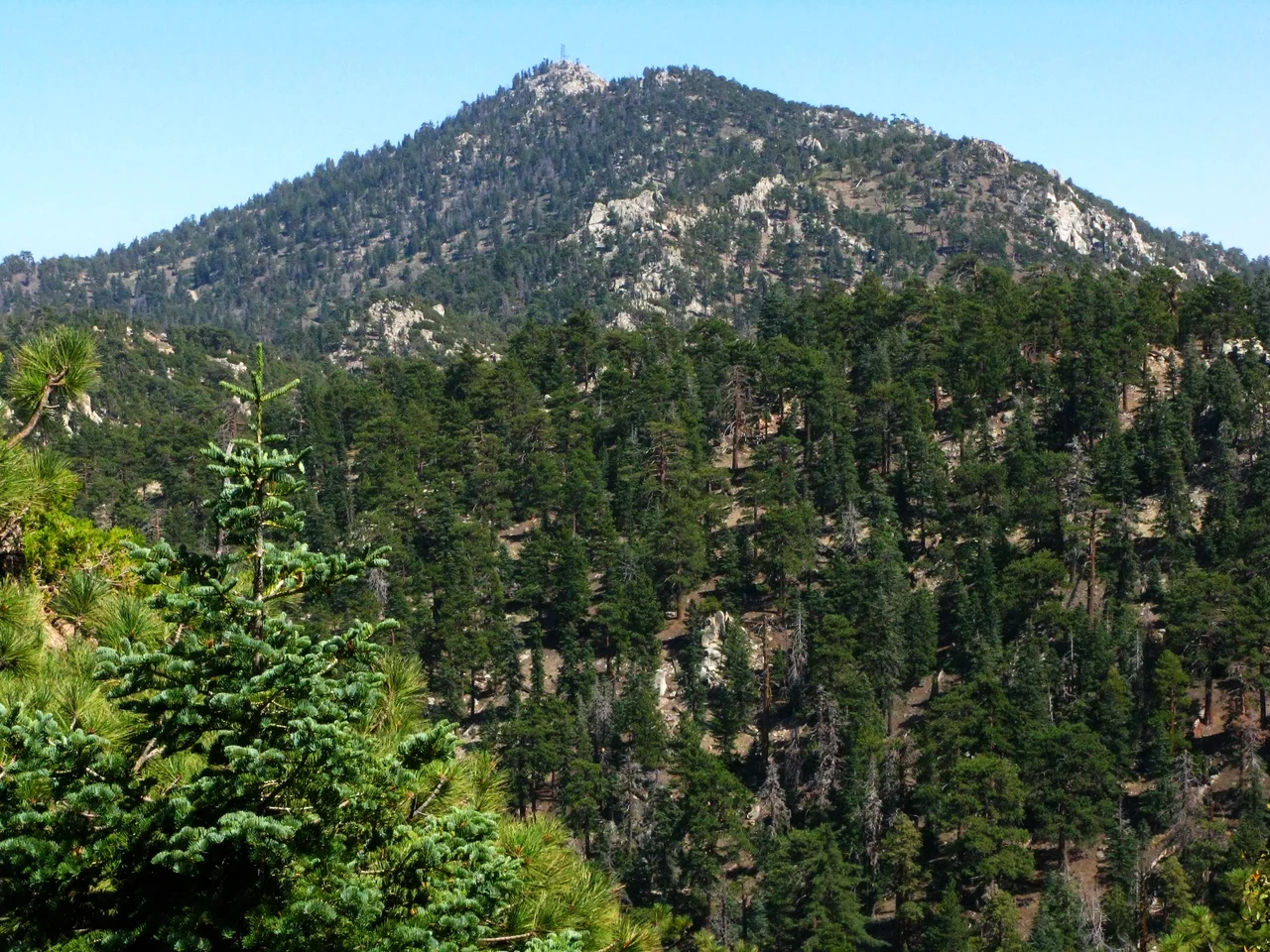
Twelve miles west of the Salton Sea, fifteen miles south of Palm Springs, Toro Peak rises to 8,717 feet — high enough to belong to a different geological and biological world than the valley shimmering below it. The summit sits at the intersection of three jurisdictions: San Bernardino National Forest, the Santa Rosa Indian Reservation, and the Santa Rosa and San Jacinto Mountains National Monument. What stands at the top belongs, in different senses, to all three.
A Sky Island in the Desert
Ecologists use the term 'sky island' for mountaintops that function like islands in a sea of desert — isolated patches of cooler, wetter habitat surrounded by conditions that most of their species cannot survive. Toro Peak is a textbook example. The limber pines that grow near its summit are ice age relics, species that once populated a far larger zone across the Southwest when the climate was cooler and wetter. As warming dried the lowlands after the last glacial maximum, these populations retreated upslope, stranded on peaks where conditions still permit their survival. The pines on Toro Peak are among the southernmost in California, hanging on at the limits of where their species can exist.
The View from the Top
The USGS benchmark on Toro Peak was registered in 1939, formalizing what travelers had observed for decades: on a clear day the summit commands an extraordinary panorama. To the north, the Coachella Valley spreads below like a relief map, with Palm Springs and the cluster of resort cities visible along its floor. To the east, the Salton Sea glints in its depression below sea level. In the best atmospheric conditions — typically after a winter storm has scoured the air — the eye can reach Charleston Peak in Nevada, over 200 miles away. The view is a reminder of the physical scale of the Mojave and Sonoran deserts, emptiness that stretches with only minor interruption almost to the horizon.
Getting There
Toro Peak is accessible by a dirt road from State Route 74, the Palms to Pines Highway, though the route ends at a locked gate near 8,200 feet elevation — roughly 500 vertical feet and about a mile of hiking below the summit. The road and the locked gate reflect the summit's jurisdictional complexity: access requires coordination across multiple land management entities, and the summit itself is not generally open to the public on a casual basis. This makes Toro Peak less visited than its stature as the range's highest point might suggest — a summit that most visitors to the Coachella Valley can see from below without ever reaching.
From the Air
Toro Peak (33.52°N, 116.43°W) is the highest point of the Santa Rosa Mountains at 8,717 feet MSL, approximately 15 miles south-southeast of Palm Springs International Airport (KPSP). It is the most prominent summit on the southwest wall of the Coachella Valley and is visually identifiable by its rounded summit profile rising above the ridgeline. Snow covers the summit periodically from November through March. When flying approaches into KPSP from the south or southeast, the Santa Rosa ridgeline requires careful altitude awareness — terrain rises steeply from valley floor (approximately 70 feet MSL) to over 8,000 feet within a few miles. Nearest airports: Palm Springs International (KPSP), Bermuda Dunes (UDD). No aviation facilities on or near the peak.
Nearby Stories
- Deer Park Monastery 3.9 km away
- Hope Residence 5.1 km away
- The International Banana Museum 8.1 km away
- Rancho Valle de San Felipe 12 km away
- Naval Auxiliary Air Station Salton Sea 17 km away
- Tenaja Fire 19 km away
- Joshua Tree National Park 20 km away
- San Bernardino Train Disaster 50 km away