
Toven Tunnel
Roughly 1,463 vehicles used the Toventunnelen on an average day in 2023. It cost around 1.46 billion kroner to build. Put those two numbers beside each other and you have the entire Norwegian infrastructure debate in miniature: this is a country that will drive ten and a half kilometres through solid rock to spare a few thousand people a bad road. Whether that is extravagance or basic fairness depends largely on whether you live at the far end of it.
The Road It Replaced
Before 22 November 2014, getting from Mosjøen out to the coast meant the old route along the Vefsnfjorden - narrow, steep and twisting, cut into the fjordside south of Tovenfjellet, the kind of road that is merely tiring in July and genuinely unpleasant in February with a lorry coming the other way. County Road 78 is the artery between inland Helgeland and Sandnessjøen on the coast, and it was not behaving like one. The tunnel took eight kilometres out of the route and between ten and twenty minutes off the drive. More to the point, it took out the weather. A tunnel does not ice over, does not slide, and does not close because visibility has dropped to nothing over an exposed shoulder above the water.
Through Tovenfjellet
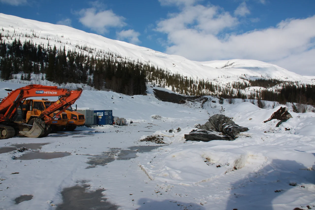
Preparatory work started on 4 January 2010. The two faces met on 8 February 2012, and the finished bore opened almost three years later, on 22 November 2014: 10,665 metres, one lane in each direction, an 8.5-metre carriageway and 4.6 metres of clearance overhead. It is the longest road tunnel in Northern Norway. Driving it takes something over ten minutes at the limit, and the experience is what long Norwegian tunnels always are - a steady procession of lights, a slow shift in air temperature, the odd widened bay for breakdowns, and a curious loss of any sense of the mountain above you. Then daylight, and an entirely different landscape from the one you left.
Who Paid for It
The financing tells you how these projects actually get built in Norway, which is rarely by one party writing one cheque. Nordland county carried much of the capital cost. The state contributed. Money that had previously been spent subsidising ferry operations was redirected into the fixed link, on the logic that a crossing you no longer need to run is a crossing you no longer need to fund. Regional development funds went in. And the balance is being recovered from drivers through a toll, which is capped at twenty years if the revenue targets are met. That is the arrangement Norwegian motorists know well: you pay for the tunnel every time you use it, until one day you do not.
What a Fixed Link Does
Helgeland is a difficult shape. It covers something like 18,832 square kilometres and holds only about 79,000 people, distributed among four towns - Brønnøysund, Mosjøen, Sandnessjøen and Mo i Rana - and a long scatter of islands and fjord-head settlements between them. Fjords cut deep inland, water interrupts nearly every direct line, and Mosjøen inland on the railway and Sandnessjøen out on the coast sit close on a map and far apart in practice. Every fixed link built here does the same quiet thing: it converts a journey people used to plan around into one they stop thinking about. The hospital, the college, the job and the airport on the other side of the mountain all move into range - and on this coast the airports matter, because Widerøe's small fields at Kjærstad and Stokka are how people here reach Bodø, Trondheim and Oslo. Under fifteen hundred vehicles a day is not much traffic by any national standard. For the communities at either end of Tovenfjellet, it is most of a working region moving back and forth.
From the Air
The Toven Tunnel runs under Tovenfjellet between Leirfjord and Vefsn municipalities, with its midpoint near 66.053 N, 13.192 E. From the air the tunnel itself is invisible; what you look for are the portals and the new approach roads at either end - the eastern one near the head of the Vefsnfjorden north of Mosjøen, the western one on the Leirfjord side, with County Road 78 running on towards Sandnessjøen. The old fjordside road is still traceable along the water to the south. Sandnessjøen Airport, Stokka (ENST) lies to the west with a 1,409 m runway at 17 m elevation; Mosjøen Airport, Kjærstad (ENMS) is about 40 km south-east with a 1,019 m runway. A pass at 3,000-4,000 ft along the fjord axis shows both portals and the terrain the tunnel exists to avoid. Coastal Helgeland weather moves fast - low cloud on Tovenfjellet is routine, and the ridge frequently sits in cloud when both valleys are clear.
Nearby Stories
- Korgen 9.3 km away
- Actions in Nordland 16 km away
- Petter Dass Museum 17 km away
- Hattfjelldal Church 21 km away
- Træna Lighthouse 36 km away
- Vega 38 km away
- Dunderland Valley Bus Crash 52 km away
- Operation Musketoon 69 km away