_.jpg)
Vlieland
There were once two villages here, and the sea took one of them. West-Vlieland had a church, a school, a windmill, and somewhere between 2,000 and 2,500 people at its height around 1670. Then the plague came, and the pirates, and the sand. By 1736 only two houses still stood; by 1857 the spot where the village had been lay twenty-seven metres beneath the waves. What remains today is a single settlement, Oost-Vlieland, clinging to the eastern end of a long ribbon of dunes that the Dutch keep deliberately, defiantly quiet.
The Island the Sea Made
Vlieland was not always an island. In 1287 a catastrophic flood tore it loose from the Frisian mainland and carved out the Waddenzee in the process, leaving this strip of sand stranded between Texel to the west and Terschelling to the east. It is the second of the five inhabited West Frisian Islands, and one of the smallest communities among them, with only about 1,200 year-round residents. Walking it end to end takes under three hours: roughly twelve kilometres from the harbour in the east to the wild western tip. The whole island is a study in scale and emptiness, a place defined as much by what is absent as by what is there.
No Cars, By Choice
Cars are banned here, and that single fact shapes everything. Visitors arrive by ferry from Harlingen and step off into a world that runs at the speed of a bicycle. Permission to bring a vehicle is reserved for residents who genuinely depend on it for mobility, or for the businesses that keep the island working. Everyone else pedals. Most of the roads are dedicated bikeways, and along the popular routes you will find the same mushroom-shaped signposts, the paddenstoelen, that mark cycling paths across the Netherlands. The result is a quiet so complete that you notice the wind, the gulls, and the hiss of dune grass long before you hear an engine.
The Vliehors and Its Birds
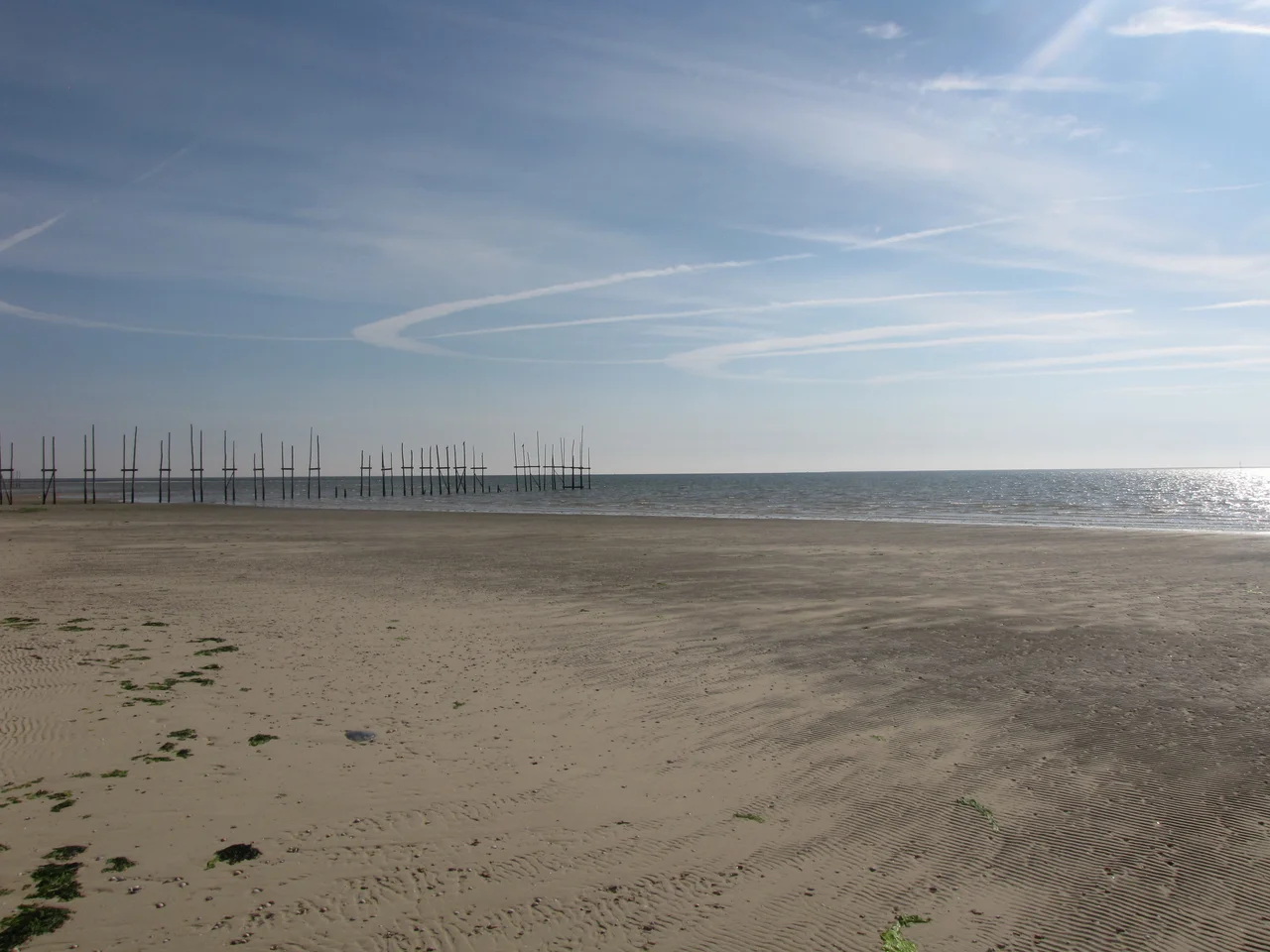
More than half of Vlieland is the Vliehors, a vast, desert-like sand plain at the western end where West-Vlieland once stood. The Dutch military uses part of it for exercises, but it remains startlingly empty, a Sahara on the edge of the North Sea. Nearby lie the Kroon's Polders, three water-rich basins dug in the early twentieth century by a waterworks supervisor named Kroon. They have since become a haven where well over a hundred bird species breed, among them eider ducks, avocets, cormorants, and the unmistakable Eurasian spoonbill. Vlieland sits within the Wadden Sea UNESCO World Heritage Site, the largest unbroken stretch of tidal flats on Earth, through which ten to twelve million migratory birds pass each year.
A Light, and the Drowned
Above Oost-Vlieland rises the Vuurduin, a red lighthouse perched on the island's highest dune, its beam sweeping a coastline that has wrecked countless ships over the centuries. The sea that gives Vlieland its beaches has also taken sailors, and the island remembers them. Tucked into the dunes lies the Drenkelingenkerkhof, the "cemetery of the drowned," where the bodies that washed ashore were laid to rest by islanders who knew the water's appetite intimately. It is a sobering counterpoint to the holiday-house cheer of the Dorpsstraat, a reminder that life on a sandbar in the North Sea has always been a negotiation with forces far larger than any village.
Island Time
Getting to Vlieland is part of what keeps it quiet. There is no bridge and no road; the only way across is the ferry from Harlingen, run by Rederij Doeksen, and even the fast service takes forty-five minutes while the regular boat takes ninety-five. That crossing is a kind of decompression, the mainland's hurry falling away with every nautical mile. Once ashore, life narrows to the harbour, the long Dorpsstraat lined with hotels and cafes, the bike paths, and the single bus line that loops out toward the Vliehors on an unhurried, irregular schedule. People do not come to Vlieland to do much. They come to walk the beaches, watch the birds, feel the wind, and let the tides set the pace, the way islanders here always have.
From the Air
Vlieland lies at 53.26 degrees N, 4.96 degrees E, a long thin island of dunes oriented roughly east-west between Texel and Terschelling in the Dutch Wadden Sea. From the air it reads as a bright band of sand: the green-and-grey settlement of Oost-Vlieland at the eastern end, the pale expanse of the Vliehors filling the west, the North Sea breaking white along the northern beaches and the muddy tidal flats of the Waddenzee shimmering to the south at low tide. The red Vuurduin lighthouse on the island's high dune is the clearest landmark. The island's own EHVL (Vlieland Heliport) is a small facility used mainly by the Royal Netherlands Air and Space Force for search-and-rescue and medevac flights. The nearest mainland airport is Leeuwarden (EHLW) to the southeast, with Amsterdam Schiphol (EHAM) about 110 km to the southwest. A viewing altitude of 1,500 to 3,000 feet shows the full sweep of dune, beach, and tidal flat; clear days after a frontal passage offer the best visibility across the Wadden Sea, though low cloud and sea haze are common.
Nearby Stories
- De Verwachting, Hollum 0.6 km away
- Dronrijp Reprisals 2.1 km away
- HNLMS Johan Maurits van Nassau (1932) 8.1 km away
- Vlieter Incident 8.6 km away
- Lemmer 9.3 km away
- French submarine Amazone (Q161) 29 km away
- Ballum 39 km away
- West Sole Gas Field 228 km away