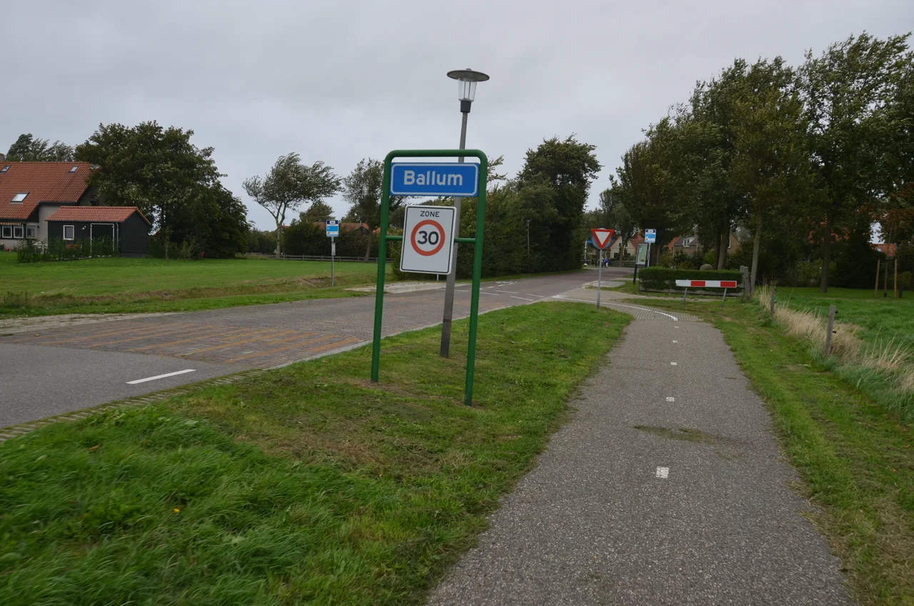
Ballum
The town hall of Ameland stands on the ruins of a castle. Where civil servants today process tax forms and parking permits, a five-story octagonal tower once rose above an ornamental garden - the only one on the entire treeless island. For nearly four hundred years, this small Frisian settlement was the political heart of Ameland, the seat of a family that ruled a self-declared free lordship against the wishes of Holland, Friesland, and the Holy Roman Emperor. Today Ballum is the smallest of the island's four villages - barely a few hundred people gathered around a triangular village square - but the silhouette of the lost castle still shapes the place, in the shells that outline a vanished chapel and in the bell tower that has watched over the square since 1755.
Settlement of Balle
The name turns up in writing for the first time in 1473, recorded as jn balnera lees: balmera buren - the settlement of Balle, a person whose face and dates are otherwise lost. The village that grew up around him took the classic Frisian form known as an esdorp: a cluster of houses arranged around a triangular village green where livestock could be gathered and the community could meet. The shape developed slowly through the Late Middle Ages, sheltered from the worst of the North Sea winds by the dunes to the north. Even now, walking through Ballum, you can read the old plan in the angles of the streets - the green at the center, the houses set back behind low walls, the bell tower presiding over everything.
The Jelmera State
Around 1424, a Frisian chieftain named Ritske Jelmera built a stins - a small fortified stone house - on the edge of the village. Within a generation, that stins had become a proper castle, and within a century it had become the seat of a dynasty. Jelmera's descendants took the name Cammingha and turned the building into the Camminghaslot, a Renaissance-style residence with stepped gables and an octagonal corner tower topped by an onion-domed spire. From Ballum, the Cammingha family ruled all of Ameland as Vrij- en Erfheren - free and hereditary lords. They held that title through lawsuits and political pressure for nearly three centuries, until the family line ended in 1708 and the island passed to the Prince of Orange.
Demolition by Cost
The castle's downfall was logistical. Stone is heavy, and Ameland has none of its own. Every block, every roof tile, every cartload of mortar had to be ferried across the Wadden Sea and hauled inland, and by the late 18th century the cost of keeping the castle standing had become absurd. When the Cammingha family was gone and the island had changed hands several times, no one was willing to keep paying. In 1795 the French confiscated the island and the castle became the residence of the local grietman, the regional magistrate. By 1829 the building was condemned, and the demolition crew began the slow work of disassembling four centuries of stonework. The municipal hall of Ameland was raised on the same footprint. A second municipal hall, built in 1961, stands there now.
What the Tower Remembers
The bell tower in the village square outlived the castle by design. Built in 1755 to replace an earlier wooden version, then enlarged in 1870, it still rings the hours over Ballum. The current Dutch Reformed church next to it dates from 1832, an aisleless replacement for a medieval church that once stood further out, near the castle grounds. On the old chapel site, a path of white seashells traces the outline of the vanished building - a ghost in shell. Inside the small bier house, the tombstone of Wytze van Cammingha still rests, the same Wytze who in 1527 successfully fought off a lawsuit from the Count of Egmond that tried to wrest the island from his family.
Airfield and Edge
Just northwest of the village, the grass strip of Ameland Airport handles light aircraft, parachute jumps, and the occasional sightseeing flight over the Wadden Sea. It is one of the smallest licensed airfields in the Netherlands and one of the few that lets you taxi past sheep. The runway sits where the open country between Ballum and the dunes once held the Cammingha family's woodland and ornamental gardens - the only real grove of trees on the island. Most of those trees are long gone. The wind blows hard here, and the horizon belongs to grass and sky.
From the Air
Coordinates 53.4453N, 5.6869E. Ballum sits on the western half of Ameland, north of the Wadden Sea coast and inland from the dunes. The grass strip of Ameland Airport (EHAL) is immediately northwest of the village, easy to identify by the runway oriented roughly east-west across an otherwise open landscape of fields and dunes. Best viewed from 1,500-3,000 ft AGL. Larger nearby fields include Leeuwarden Air Base (EHLW) about 25 nm south and Groningen Airport Eelde (EHGG) about 55 nm southeast. The bell tower and the modern town hall mark the village center from above.
Nearby Stories
- Griend 1.7 km away
- De Hoop, Stiens 2.8 km away
- Hoendiep 5.7 km away
- Pieterpad 16 km away
- Oerol Festival 17 km away
- HVDC DolWin1 24 km away
- Gemini Wind Farm 29 km away
- SM UC-47 322 km away