.jpg)
Hoendiep
The name itself is a clue that this was never a glamorous waterway. According to the philologist Schönfeld, Hoendiep refers to dirty, muddy water - the kind of cousin-name shared with the Hunte river in Lower Saxony and the Hungat south of Langeoog. For about three and a half centuries, that muddy fifteen-kilometre ribbon between Groningen and Zuidhorn was one of the busier commercial canals in the Dutch north. Then a wider sibling opened just to the north, and the Hoendiep became what it remains today: a quiet rural channel that no longer earns its keep.
An Hour Saved by Towrope
Sailors leaving Groningen for Friesland in the 17th century followed a winding route west, past De Poffert and a small lake called the Gave near Oostwold, before joining the canal to Briltil. From 1654 to 1657 they pushed the line further north and west, stitching the Hoendiep through the Stille Diep until it rejoined the Kolonelsdiep near Gerkesklooster. The biggest change came in or just before 1675, when engineers cut a new connection from De Poffert directly to the Lettelberterdiep. The Gave silted up and lost its purpose. The new line was about two kilometres shorter, and in the slow age of horses on towpaths, that small geometry meant something concrete: one hour shaved off a working day.
Sugar Beets and Bottlenecks
Improvements between 1862 and 1870 turned the Hoendiep into a serious cargo route. Traffic surged from 500,000 tonnes in 1878 to 1,250,000 tonnes by 1898 - a two-and-a-half-fold jump in twenty years. But the barges themselves stayed small, capped at 120 to 140 tonnes by the canal's narrow locks and shallow port. Each autumn the Vierverlaten sugar factory, built in 1896, and the Groningen sugar factory, opened in 1914, drew swarms of small lighters loaded with beets. During the campaign these queued up the canal and right into the Westerhaven inside the city. A 1909 cut-off canal was built to bypass the worst of the chokepoints, but new ones simply appeared at the sugar mills. Plans for a comprehensive upgrade circulated for two decades and were quietly shelved in the early 1920s - the cost of rebuilding the Westerhaven Lock had become impossible to justify.
Replaced by Its Successor
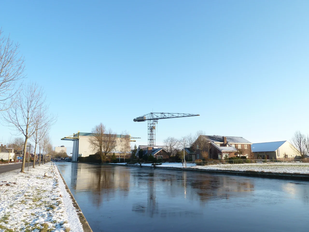
The solution arrived in 1937 in the form of the Van Starkenborgh Canal, a straighter and wider line that took over the heavy traffic the Hoendiep could never quite handle. In 1949, the western section of the old canal was officially renamed - it was now part of the Van Starkenborgh, and the name Hoendiep retreated east. The Westerhaven in the city was filled in. The lock came out. The street that runs along the south bank of the new canal still carries the old name, a kind of fossil label for water that no longer exists. The present Hoendiep keeps a small commercial role near Hoogkerk but is mostly used by pleasure boats now, threading slowly between Hoogkerk, Enumatil, and Briltil.
Reading the Water
Look down from a few thousand feet and the Hoendiep tells the story of how the Dutch north was knit together. The canal runs almost dead straight in places, the work of 17th-century surveyors who preferred shortcuts to following natural curves. Settlements line up along it like beads on a string - Hoogkerk first, then Enumatil, Zuidhorn, Briltil - each one originally a halting point where horses changed, cargo transferred, or a lock cycled boats up or down a metre of water. The Vierverlaten sugar factory still stands beside its old wharves, repurposed by Suiker Unie. The new Van Starkenborgh runs parallel and a kilometre or two north, three times wider and carrying the freight the Hoendiep never could. Two centuries of Dutch hydraulic ambition laid out side by side, the old one quieter, the new one still working.
From the Air
The Hoendiep runs roughly east to west between Groningen city (53.21 N, 6.57 E) and Zuidhorn (53.25 N, 6.40 E), with its central anchor near 53.23 N, 6.40 E. Groningen Airport Eelde (EHGG) lies about 12 km south. From low altitude on a clear day, the Hoendiep appears as a narrow tree-lined channel running parallel to the broader, modern Van Starkenborgh Canal a kilometre or two to the north. The Vierverlaten sugar factory at Hoogkerk is a useful landmark - its silos and stacks stand out clearly above the surrounding flat farmland.
Nearby Stories
- Hooghalen train crash 2.6 km away
- Winschoten 2.7 km away
- Visquard 5.7 km away
- Ypey Mole, Ryptsjerk 7.4 km away
- Zuiderduintjes 11 km away
- Buren, Friesland 12 km away
- Weerribben-Wieden National Park 15 km away
- Bourtange moor 15 km away