Visquard
Look down at Visquard from the air and the shape resolves into something deliberate: a circular settlement four hundred and fifty metres across, with a brick church sitting at the highest point and lanes radiating outward to a ring road. This is a Rundwarftendorf, a round terp village - a medieval defensive plan in which the church occupied the dry centre of an artificial mound and the houses spiralled out beneath it. The geometry has survived nearly nine hundred years of dyke-building, peat-shipping, war, and reform. From the air, Visquard looks like a target drawn on the polder.
The Name and the Meadow
The village shows up in the Vita Liudgeri, the early ninth-century biography of Bishop Ludger of Münster, under the spelling Wyscwyrt. By 1380 it had become Fiscwert in the East Frisian document book; by 1625, Fisquard; by 1719, Visquard, the form still used today. The local coat of arms shows a fish, which makes intuitive sense - vis, after all - but the linguist Arend Remmers argued that the first syllable is not fish at all. It derives, he proposed, from Old Frisian wiske, meadow. The second part - quard, related to werder and warden - means a raised place in wetland. Visquard, then, is the meadow on the warft. The fish in the coat of arms is folk etymology made heraldic.
Built on a Hill That Wasn't There
Before the East Frisian coast was dyked, villages survived storm surges only by perching on artificial mounds called warften. Generations of villagers added clay and refuse to existing rises until the central platform stood high enough to keep house foundations dry when the North Sea broke over the flats. The Rundwarft design, in which dwellings spiraled around a central church on the highest point, was an East Frisian and Groningen specialty. Visquard is one of the most intact examples - circular not in any modern planned sense but because it grew that way over centuries, the geometry encoded by the need to stay above the water.
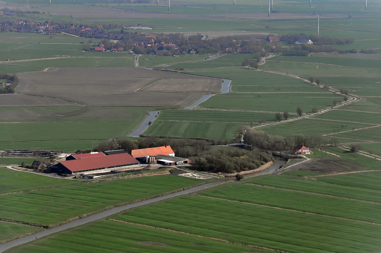
Boats Where the Cars Now Run
For most of Visquard's history the most important transport infrastructure was not the road but the canal. Natural Tiefs and engineered drainage channels formed a dense network across the Krummhörn, connecting villages to each other and to the city of Emden roughly thirteen kilometres away. Village boatmen moved goods both directions: agricultural products outbound, manufactured wares and especially peat inbound. Peat was the fuel of every Krummhörn hearth, harvested from East Frisian boglands and shipped to the marsh villages by water. On the return trip the boatmen often loaded clay soil and cattle manure to fertilise the harvested bogs at home. The whole system was a slow, water-borne nutrient cycle that ran for centuries before tractors arrived.
The Bacon Parades of 1919
In April 1919, with Germany convulsing through the early Weimar period and food still scarce after the war, workers from Emden organised what came to be called Speckumzüge - bacon parades. They travelled in closed trains to surrounding villages and stole food from farmers. Clashes followed. The Emden district, together with Rheiderland, was the East Frisian region most affected by the unrest. The Reichswehr eventually restored order. In response, almost every town in the area formed its own residents' defence force. Visquard's was unusually large: seventy-two members, armed with thirty weapons, organised to protect village farms from urban raiders. The Prussian Interior Minister Carl Severing finally ordered the defence forces dissolved on April 10, 1920. The episode left almost no physical trace in Visquard. It is the kind of history you can only find by going looking.
Vanished Abbey, Surviving Church
Northwest of the village stood Appingen Abbey, a medieval monastic foundation now reduced to a small hamlet and a depression in the fields. The 13th-century village church still stands at the warft's centre, brick-built in the Frisian Romanesque-into-Gothic transition. Inside it houses an organ; the village around it has been part of the municipality of Krummhörn since the local government reform of 1972, when Visquard surrendered its independence to a larger administrative unit. From the air today, none of this layered history is obvious. What's obvious is the circle - the perfect round of a thousand-year-old defensive idea, still visible in the road pattern, still topped by the church that anchored it.
From the Air
Visquard lies at 53.47°N, 7.10°E in the East Frisian Krummhörn, about 8 nm west of Emden and 13 nm south-southwest of Norden. From 1,500-3,000 feet the circular Rundwarft pattern is unmistakable: a near-perfect ring of houses around a central church on a slight rise, set in dyked marshland. Pewsum lies immediately south, Greetsiel north on the coast. Nearest airfields: Emden (EDWE) about 8 nm east; Norden-Norddeich (EDWS) about 13 nm north. Marshland weather; sea fog common.
Nearby Stories
- SM U-30 3 km away
- Lewenborg 4.4 km away
- Wittmund (district) 6.2 km away
- Rheiderland 6.9 km away
- Wangerooge Island Railway 9.3 km away
- Bad Zwischenahn 20 km away
- Alpha Ventus Offshore Wind Farm 25 km away
- HVDC DolWin2 28 km away