Lewenborg
Walk through Lewenborg and you are walking through a fleet that never existed. Anker. Boeg. Kiel. Kraaienest. Patrijspoort. Every street in this eastern suburb of Groningen, every school, even the community centre, carries a nautical name - anchor, bow, keel, crow's nest, porthole. None of it has anything to do with the surrounding peat-and-clay landscape, which has been agricultural since the year 1000. The conceit was imposed by city planners in the early 1970s, when construction began on what was meant to be a self-contained green suburb for around 9,000 people. Decades later, that population still lives among the language of sailing ships, in a place where the closest tall mast is a streetlight.
Building on Drained Bog
The land Lewenborg sits on is not really old farmland in the usual sense - it is drained bog, slowly built up over a thousand years of monastic labour. Around the year 1000, religious houses began organising peat extraction on the higher levees, which produced the ribbon-pattern villages you can still see at Engelbert and Noorddijk nearby. Cutting away the peat caused the underlying ground to sink, and the lots became increasingly waterlogged. The first response was simply to dig ditches - the Kardingermaar and the Zuidwending among them. When that proved insufficient, the Frisians turned to the heavy machinery of their era: water boards, polders, and dikes. By the twelfth century a route called the Stadsweg ran east from Groningen to the Ems river, passing through what is now Lewenborg. Most of the Stadsweg disappeared when the suburb was built, but two fragments survive as bicycle paths.
Designed in One Stroke
Construction began in 1971. A planned community of this kind does not grow organically from a market crossing or a river bend; it is drawn in an office and then poured. The heart of Lewenborg was a single shopping mall and the community centre, Het Dok - itself nautically named, meaning 'the dock.' By 2016 the suburb housed 9,115 residents. The street-name scheme is the kind of choice you can only make once and then have to live with: hundreds of homes whose addresses read like a glossary from a maritime textbook. Three streets in the ecological quarter, Drielanden, broke the rule with names like Mooiland (Prettyland) and Zonland (Sunland), but those are footnotes. The dominant logic is the ship.
The Canal Through the Middle
By the late 1990s, the suburb's planners had decided that all this nautical naming needed actual water. The plan was the Lewenborgsingel, a canal running right through the heart of Lewenborg. Three large apartment blocks - the Sloepflat, the Toplichtflat, and the Kombuisflat - stood in the way. They came down in sequence: Sloep in autumn 1999, Toplicht in spring 2000, Kombuis in 2005. The western section of the canal was completed first, the eastern section followed, and after the medical centre relocated to its new building on Kajuit street, the two halves were finally joined. A suburb named entirely for sailing ships now actually has a waterway running through it - though nothing larger than a paddle craft will ever travel it.
The Quarrel Over Schools
Lewenborg's neighbourhood drama in recent decades has been about its elementary schools. There used to be six. Ketelbinkie and De Brandaris merged in 1995 into De Tweemaster. Radar and De Swoaistee fused in 2005, with the old Radar building demolished so new Swoaistee classrooms could rise. The most contested merger came in 2012, when De Tweemaster and De Catamaran combined into OBS De Vuurtoren under threat of bankruptcy. Many parents resisted the move, fearing that De Tweemaster's weaker academic record would drag down De Catamaran's children. Today three elementary schools remain - De Swoaistee, De Vuurtoren, and Het Kompas - along with a special-education school, vocational classes from the Alfa College, and vmbo departments from two secondary schools. F.C. Lewenborg, founded in 1976, plays its amateur football at Sportpark Lewenborg on Kluiverboom street. The crow's nest watches over it all.
From the Air
Lewenborg lies on the eastern edge of Groningen at 53.24 N, 6.62 E. Groningen Airport Eelde (EHGG) is about 14 km southwest. From low altitude, the suburb appears as a compact grid of mid-rise housing with a clear central canal - the Lewenborgsingel - cutting through it, and a shopping centre near the middle. Look for the contrast between Lewenborg's planned rectangular block and the older, irregular farmland and ribbon villages on its northern and eastern edges.
Nearby Stories
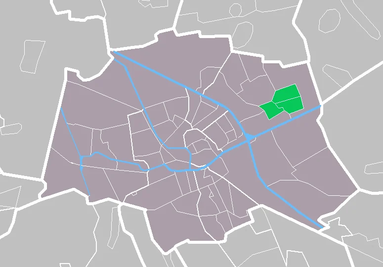
- Hooghalen train crash 2.6 km away
- Winschoten 2.7 km away
- Visquard 5.7 km away
- Ypey Mole, Ryptsjerk 7.4 km away
- Zuiderduintjes 11 km away
- Buren, Friesland 12 km away
- Weerribben-Wieden National Park 15 km away
- Bourtange moor 15 km away