Wittmund (district)
Look at the coat of arms first. A ship sails across a blue field, three sails filled with wind, each sail carrying a different symbol - a bear, two tournament lances, an eagle. The bear refers to a legend about a besieged city being saved by an animal nobody expected. The lances came from a medieval ruler named Hero Oomkens. The eagle stands for an old castle nobody remembers. That ship, sailing nowhere in particular on a heraldic sea, is the most honest summary of the Wittmund Landkreis you will ever see: a coastal district whose history is made of stitched-together stories from places almost no one outside East Frisia has ever heard of.
Where the Wadden Sea Begins
The district occupies the northwestern lobe of Lower Saxony, hard against the North Sea. Its northern boundary is not a coastline in any usual sense but the Wadden Sea - a vast tidal flat of mud, channel, and sand that twice each day surrenders itself to the ocean and twice each day reappears. Two East Frisian Islands belong to Wittmund: Langeoog and Spiekeroog, both thin ribbons of dune and beach grass standing watch a few kilometers offshore. The mainland coast, known traditionally as the Harlinger Land, is dyked, ditched, and grazed. Cattle outnumber people across most of the district, and the sky takes up more of the view than any other element.
The Bear of Esens
Heraldry usually compresses history into shapes, and the Wittmund arms compress it more tightly than most. The front sail shows a bear, the symbol of the Attena family who ruled Esens through the 14th and 15th centuries. Local legend connects the bear to Balthasar Oomkens von Esens, a 16th-century chieftain whose besieged city was supposedly saved when an animal - the details shift with the teller - frightened the attacking force. The main sail bears two tournament lances for Hero Oomkens, an earlier and more decorous warrior. The rear sail carries an eagle for Friedeburg Castle, long since gone. Esens itself, just east of the district capital, is now a small market town that still hosts a museum dedicated to the bear story.
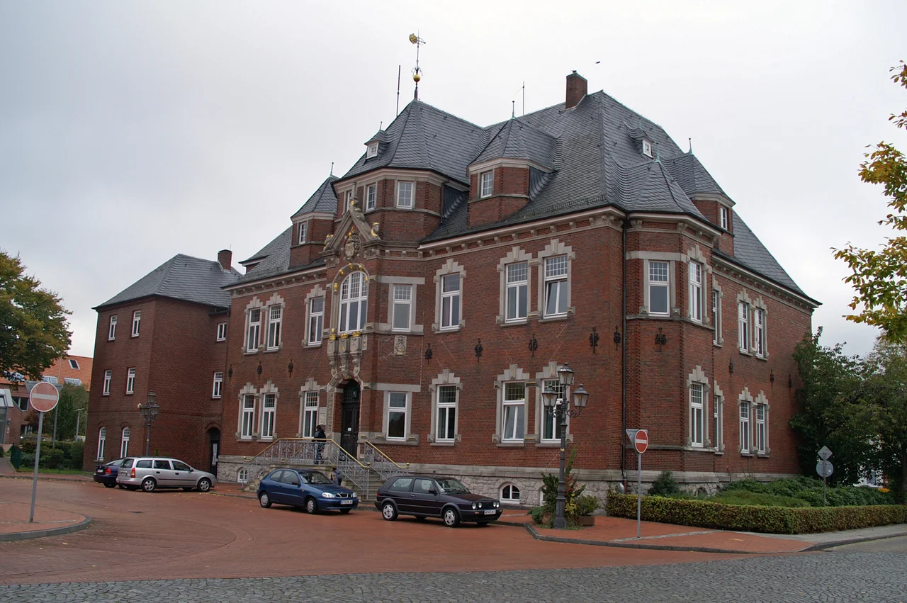
The Merger That Was Not
In 1977, West Germany reorganized its districts and merged Wittmund into Friesland. The combined district lasted not quite two years. The merger was unpopular from the start, and in 1979 a court ruled it unconstitutional. The legal grounds were technical - Friesland had belonged historically to the former State of Oldenburg, and merging it with Wittmund violated the rights that older arrangement retained. The boundaries were restored. People in both districts went home with renewed certainty that they were not, in fact, the same place. After German reunification in 1990, Wittmund formed an administrative partnership with the Schönebeck district in Saxony-Anhalt, helping former East German colleagues stand up new local government systems from a low base of resources and a high base of frustration.
Esens, Wittmund, and the Spaces Between
The district was carved out by Prussia in 1885, stitching together the Amt Wittmund, the Amt Esens, and the City of Esens itself - all previously part of the much larger District of Aurich. The seam is still visible. Wittmund holds the district hall; Esens keeps the older market square and most of the legendary stories. Between them lie villages whose names have stayed unchanged for centuries: Ardorf, Burhafe, Funnix, Carolinensiel. The pace remains slow. Tractors share the road with cars. The ferries to Wangerooge - technically a separate parish, but tied to Wittmund by the small port of Harlesiel - leave on a tide table that has been refusing to negotiate with human convenience since long before the district existed.
From the Air
53.58N, 7.75E. The district covers roughly the area between Aurich (west) and Jever (east), and from the dyked coastline south through the East Frisian geest. Cruise at 4,000-6,000 ft for the clearest look at the dyke patterns and inland canal grid. Wittmundhafen Air Base (ETNT) is military airspace at the district capital. Norden-Norddeich (EDWY) is the nearest small civil field; Bremen (EDDW) handles regional traffic about 80 km southeast.
Nearby Stories
- Wangerooge 0.7 km away
- Aurich (district) 4.5 km away
- Rheiderland 6.4 km away
- Bad Zwischenahn 11 km away
- HVDC DolWin2 37 km away
- Wöbbelin Concentration Camp 203 km away
- Gardelegen Massacre 216 km away
- Lilleø 233 km away