West Kordofan
West Kordofan has been invented and erased and invented again. The state was created in 1994. Abolished in 2005. Recreated in 2013. Each redrawing of the map reflected what Sudanese politicians wanted the state's 1.3 million people to be: part of this administrative unit or that, tied to this peace agreement or the next, reckoned with a particular ethnic arithmetic in Khartoum. Meanwhile, on the ground, the Hamar and Misseriya tribes grazed cattle, farmers grew sorghum, oil pipelines ran northeast to Port Sudan, and now, since 2023, almost the entire state has passed under the control of the Rapid Support Forces.
Oil, Cattle, and Contested Borders
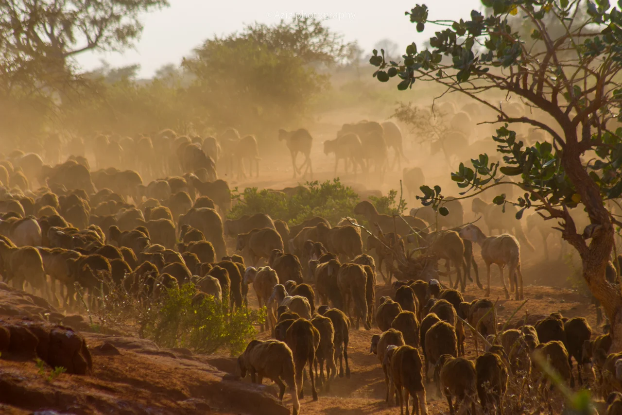
West Kordofan covers 111,373 square kilometers - larger than some European countries - in central-western Sudan, bridging the Sahel transition zone between the Sahara to the north and the savannas further south. Al-Fulah is the state capital. The state's historic identity is shaped by three economic realities that intersect: the oil fields that stretch across the Muglad Basin and make this region one of Sudan's key energy-producing areas; the cattle-herding Misseriya Arab tribes whose seasonal migrations to the Bahr al-Arab river mark the rhythms of the agricultural year; and the farmer communities, many from the Nuba Mountains to the east, who till sorghum and millet. The Abyei region - a contested enclave on the South Sudan border - technically forms one of the state's districts under the 2005 Comprehensive Peace Agreement, and its referendum on which country to join has been deferred for nearly two decades.
A State Abolished
In August 2005, following the Comprehensive Peace Agreement signed at Naivasha in Kenya that ended the Second Sudanese Civil War, West Kordofan was abolished. The protocol required that Southern Kordofan's boundaries match the old provincial lines, which meant West Kordofan had to be divided between North and South Kordofan. Al-Fulah was repurposed as the second capital of South Kordofan, with state Legislative Council sessions alternating between Al-Fulah and Kaduqli. The political logic of this redrawing was tied to the peace deal with the Sudan People's Liberation Movement: the new South Kordofan needed enough territory and population to function as an autonomous region with a voice in the new federal arrangement. The cost was that West Kordofan's distinct identity - its Misseriya-dominated western districts, its oil-rich Muglad Basin, its complex relationship with Darfur - was submerged in the larger structures. Nearly a decade later, in July 2013, Khartoum reversed course and reestablished West Kordofan as a state in its own right.
Ethnic Economics
The state's population is a dense weave of different peoples. The Misseriya Arabs are pastoral cattle-herders whose migrations south into what is now South Sudan have historically brought them into conflict with the Dinka Ngok of Abyei. The Hamar - whose name is given to the tribe rooted in West Kordofan and often to the area they inhabit - are farmers and small traders. The Shanabla, Gemesat, and other smaller groups bring their own languages and traditions. In the 1990s and 2000s, the Misseriya were heavily recruited by the Sudanese government into the Popular Defense Forces militias and later into what became the Janjaweed and then the Rapid Support Forces - one reason the 2023 civil war's dynamics in West Kordofan are particularly complex. Disputes over grazing rights and land access in the state have always been serious; the widespread availability of weapons from the successive wars has turned disputes that might once have been negotiable into deadly confrontations. In March 2015, a clash between the Shanabla and Gemesat at Um Girenat in Wad Banda locality killed a police officer sent to intervene. In October 2022, Hamar demonstrators blockaded the main road to demand the creation of a new state of Central Kordofan.
The RSF Takes the State
When the current civil war began on 15 April 2023, West Kordofan's location - on the road between Darfur and Khartoum, rich in oil, sparsely defended - made it a strategic prize. On 25 April 2023, the RSF seized Wad Banda. For the first four months, other parts of the state remained relatively quiet. On 14 August 2023, the RSF attacked El-Khoi, injuring three civilians and seizing police vehicles and an ambulance. Two days later, the RSF offensive reached the state capital, Al-Fulah, opening combat with the Sudanese Armed Forces. By the end of 2023, the RSF held large portions of the state. In early 2024, the RSF began its siege of Babanusa - the railway town that had long been an important hub - in response to SAF airstrikes near the city. By late 2024, the RSF controlled the capital, main roads, and essentially every major locality. The SAF retreated to Babanusa, where it eventually broke the siege. The SAF's positions in En-Nahud remained surrounded. Since June 2024, active combat in West Kordofan has quieted - not because anyone has won, but because the lines seem to have stabilized with the RSF in effective control of most of the state.
What a State Becomes
The people of West Kordofan are living through what is now their fourth major political reconfiguration in thirty years - first the 1994 creation of the state, then the 2005 abolition, then the 2013 reestablishment, and now the 2023-onward fracturing under RSF control. The distinction between these is not abstract. The children born in Al-Fulah in 1993 have spent every year of their lives in a political unit that central government has decided whether or not they belong to. The farmers whose sorghum plots flood each rainy season have watched successive governors arrive from Khartoum with policies imposed from elsewhere. The Misseriya herders whose migration routes cross the disputed border with South Sudan have had their rights to the Bahr al-Arab grazing season renegotiated by each new peace process. A state, in the end, is not just lines on a map. It is the expectation that the people inside those lines will be treated as a political community with interests of their own. West Kordofan's people have earned that recognition many times. What they have received is rearrangement.
From the Air
West Kordofan's reference point is 12.00°N, 28.15°E; the state capital Al-Fulah sits at approximately 11.73°N, 28.36°E. From cruising altitude the state lies in the Sahelian transition zone - savanna with scattered acacia, grading into more arid scrub to the north. The Muglad Basin in the south contains significant oil fields, visible from altitude as areas of industrial infrastructure. Major towns include Babanusa (with its rail junction), El Nehoud, Wad Banda, and Abu Zabad. The main road through the state connects El Obeid in North Kordofan with El Fasher in North Darfur. Nearest airports are El Obeid (HSOB) to the east and Geneina (HSGN) to the west. The state's airspace has been subject to restrictions during the 2023-present civil war.
Nearby Stories
- Wad Banda 96 km away
- Kordofan 106 km away
- Ed Dubeibat 118 km away
- South Kordofan 136 km away
- 1987 Dhein massacre 183 km away
- Sudanese Conflict in South Kordofan and Blue Nile 215 km away
- Zamzam and Abu Shouk refugee camp massacres 298 km away
- Zamzam Refugee Camp 312 km away