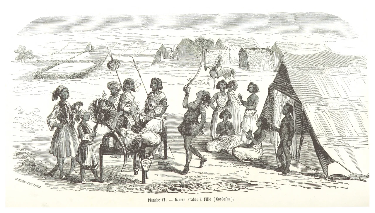
_p322_Planche_VI.jpg)
Kordofan
The name might come from a Nubian word, Kurta, meaning man. That is one theory. Another traces it to a vanished indigenous tongue whose speakers were pushed into the hills by Arab migrations in the fourteenth century. What is certain is that Kordofan, 376,145 square kilometers of undulating plain stretching across central Sudan, has carried one name while its people have been many. Nubians, Kushites, Arab tribes from Egypt, the Fur, the Nuba in the southeastern hills, gum-arabic traders from every direction. Empires have claimed it, lost it, and claimed it again.
A Plain Between Sahara and Sahel
Geography dictates everything here. From June to September the rains come, and the dry plain blooms into something fertile enough to support cotton, groundnuts, millet, and the acacia trees whose hardened sap is gum arabic, Kordofan's most famous export. From October to May the land hardens back into near-desert. The only real elevation is the Nuba Mountains in the southeast quarter, a cool refuge rising from the hot plain. The chief town of the region, El-Obeid, sits at its western edge, and across the centuries it has been the commercial heart of Kordofan, where caravans from Abyssinia and Egypt converged to exchange cloth, enslaved people, salt, and gold.
Layers of Empire
In antiquity this was Kushite land, part of the civilization whose kings ruled from Napata and Meroe and briefly conquered Egypt. In the Middle Ages it fell within Alodia and Makuria, the Christian Nubian kingdoms. By the fourteenth century Arab migrants from Egypt were moving south, intermarrying with locals and pushing some indigenous peoples into the hills, where their descendants became the Nuba. In 1779 the Sultan of Sennar sent Sheikh Nacib with two thousand cavalry to claim the region. He held it only five years before losing a decisive battle in 1784. Then came the Darfur viceroys, who reportedly ruled lightly, with low taxes and merchants exempt from duties. Bara, the second commercial town, was built by Dongolawi migrants. Commerce flourished. The bubble burst in 1821, when Muhammad Ali Pasha's son-in-law arrived with 4,500 soldiers and eight cannons and brought Kordofan under Egyptian rule.
The Mahdi at El-Obeid
In 1881 a Muslim cleric on Aba Island in the White Nile proclaimed himself the Mahdi, the promised redeemer, and began a revolt against Ottoman-Egyptian rule. In late 1881 he retreated south to Kordofan, a strategic retreat that became a triumphant procession. The Nuba Mountains sheltered his followers through the first campaigns. By January 1883, the Mahdi took El-Obeid after a long siege. The Egyptian governor dispatched General William Hicks from Cairo with roughly ten thousand soldiers. On November 5, 1883, at Sheikan south of El-Obeid, the Mahdi's forces, mostly Sudanese villagers fighting for religious renewal and against colonial taxation, annihilated Hicks's army. Almost none escaped. The victory sent shockwaves through London and Cairo, and set in motion the siege of Khartoum fourteen months later. Kordofan was where the Mahdi proved he could win.
Divisions and Returning Violence
After the British reconquest of 1898, Kordofan was administered as a single province until 1973, when it was split into North and South Kordofan. Further subdivision came in 1994 with the creation of West Kordofan. The provinces became states. In June 2011, months before South Sudan's independence, armed conflict broke out in South Kordofan between Sudanese government forces and fighters from the Sudan People's Liberation Movement-North, many of them Nuba people who had fought alongside the south during the civil war but found themselves on the wrong side of the new border. The violence has continued, expanding into North Kordofan and drawing in groups from Darfur. As of 2025, much of South Kordofan, including the town of Kologi, is held by SPLM-N forces under Abdelaziz al-Hilu, while the plains to the north remain contested between the Sudanese Armed Forces and the Rapid Support Forces in Sudan's ongoing civil war.
What the Plain Remembers
Stand in the gum-arabic fields of Kordofan in late September, when the harvesters tap the acacia bark and the hardened sap bleeds out in amber tears, and you are standing on a surface that has carried every story here. The Kushite kings sent their caravans across it. The Dongolavi traders built Bara here. The Mahdi's Ansar crossed it barefoot, armed with sticks against British Maxim guns, and won anyway. The Nuba retreated into its hills and stayed, keeping languages and traditions alive through four centuries of pressure. Kordofan rarely makes international news now except when something terrible happens, and terrible things keep happening. But the plain will be here long after the latest fighters have gone home, or been buried, or been forgotten. It always has been.
From the Air
Kordofan spans roughly 11-16°N, 27-31°E, with the approximate center at 13°N, 29.5°E. Recommended viewing altitude: 10,000-18,000 feet for sense of the vast plain. El-Obeid Airport (HSOB), the regional hub, lies in the chief town. Dilling Airport (HSDL) serves the Nuba Mountains area in South Kordofan. Terrain is mostly undulating plain with the Nuba Mountains rising in the southeast (elevations to ~1,200m). Expect haboobs (dust storms) April-June, and reduced visibility during rainy season (June-September) thunderstorms. The vast gum-arabic belt is visible as acacia-studded grassland.
Nearby Stories
- Battle of Shaykan 47 km away
- Ed Dubeibat 51 km away
- Wad Banda 98 km away
- West Kordofan 104 km away
- Nuba Mountains 119 km away
- El Fasher 380 km away