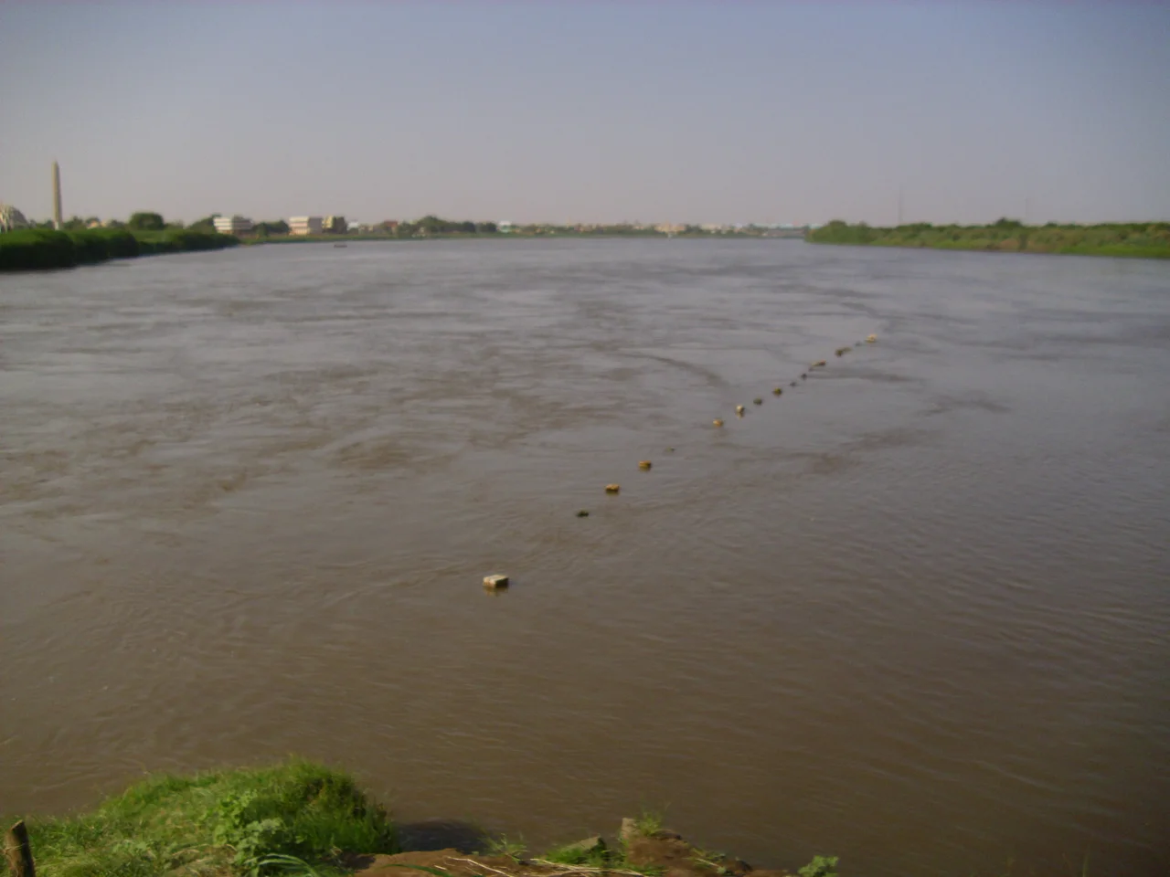

White Nile
Just before it reaches Lake Albert, the entire Nile is forced through a gap in the rock only seven metres wide. The river arrives broad and unhurried, then slams into a cleft barely the width of a road and explodes through it, dropping more than forty metres in a roar of spray. This is Murchison Falls, one of the most violent constrictions on any major river, and it belongs to the White Nile, the paler and gentler of the Nile's two great branches. The White Nile draws its name from the clay sediment that tints its water a milky grey, and from its lake-fed Ugandan headwaters it begins a journey of thousands of kilometres toward the deserts of Sudan.
Where the River Begins
The White Nile is the longer but lesser of the Nile's two main branches, the Blue Nile carrying far more water. Defining its true start is a famously contested matter. In the broadest sense the river drains from Lake Victoria, but the most distant headwaters lie further south still, in the highlands of Burundi and Rwanda. The Kagera River, fed by streams rising in Nyungwe Forest and the hills of Bururi, is the longest feeder into Lake Victoria, and somewhere among its tributaries sits the ultimate source of the Nile, a point geographers have argued over for more than a century and a half. The river changes names as it travels, a different title for nearly every stretch, as though no single word could hold the whole of it.
The Victoria Nile
In Uganda the river is called the Victoria Nile, and it begins at Jinja, where Lake Victoria pours out at the lake's northern shore. From the start it has been harnessed for power: the Nalubaale and Kiira stations sit at the outlet, and the once-famous Bujagali Falls downstream were submerged by a dam in 2011. The river then runs northwest to Lake Kyoga and on toward Lake Albert. Its most dramatic moment comes at Murchison Falls, where it is compressed into that seven-metre gorge and hurled into the western arm of the East African Rift. Beyond the falls it spills into Lake Albert, facing the Blue Mountains of the Congo across the water, having crossed Uganda from one great lake to another.
Through the Swamps of the South
Draining out of Lake Albert, the river becomes the Albert Nile and flows north toward the border, dividing Uganda's West Nile region from the rest of the country. Crossing into South Sudan it takes the name Mountain Nile, or Bahr al-Jabal, "river of the mountain." There it meets one of the most extraordinary obstacles on its course: the Sudd, an immense wetland where the river loses itself in a maze of channels, reeds, and floating vegetation so vast it stalled would-be navigators for generations. The Sudd swallows enormous quantities of water to evaporation, so that the river emerging from it is much diminished. At Lake No the Mountain Nile merges with the Bahr el Ghazal, and only here, in the strictest definition, does the "White Nile" truly begin.
Names, Borders, and History
From Lake No the White Nile runs slow and swamp-free into Sudan, gathering the sediment-rich floodwaters of the Sobat that deepen its pale colour. It passes Malakal and, downstream, Kodok, the site of the 1898 Fashoda Incident, when a French and a British expedition met on its banks in a tense standoff that came to symbolise the end of the European Scramble for Africa. Finally, at Khartoum, the White Nile meets the Blue Nile flooding down from the Ethiopian highlands, and the two become simply the Nile. The river that began in a Ugandan lake and squeezed through a seven-metre gorge now sets out across the Sahara, bound for Egypt and the sea, carrying the histories of half a dozen nations in its current.
From the Air
This stretch of the White Nile, the Victoria Nile, is anchored near Jinja, Uganda at 0.415 N, 33.196 E, where it exits Lake Victoria. Entebbe International (HUEN) lies about 130 km southwest; Jinja Airport (HUJI) is adjacent to the outlet. From the air the river is an unmistakable navigation feature: a clear channel leaving the vast pale expanse of Lake Victoria, marked by the Nalubaale and Kiira dams, then winding northwest as a green-fringed ribbon toward Lake Kyoga and the dramatic gorge at Murchison Falls. Downstream the broad waters of Lake Albert sit against the Rift escarpment. Equatorial light stays consistent year-round, with wet-season haze over the lakes. Trace the channel north from Lake Victoria to follow the river's course.
Nearby Stories
- Basilica of the Uganda Martyrs, Namugongo 7.8 km away
- Entebbe 30 km away
- Eastern Uganda Campaign of 1979 63 km away
- Nyero Rock Paintings 72 km away
- The Entebbe Raid 88 km away
- Kitum Cave 115 km away
- Migingo Island 120 km away
- Budongo Forest 171 km away