Wildcat Canyon Regional Park
Somewhere beneath the meadow grass on a ridgeline above Richmond, concrete foundations still anchor themselves to the earth. They once held Nike missile silos, part of the Cold War defense ring that circled San Francisco Bay. The Army decommissioned the site in the 1970s, and the East Bay Regional Park District folded it into Wildcat Canyon Regional Park, where today the most threatening thing on the hilltop is a cow giving you a suspicious look. That transformation - from launch pads to cow pastures, from military perimeter to public trail - captures something essential about the East Bay hills, where human ambitions rise and fall against a landscape that simply keeps growing back.
Before the Volunteers Came
The canyon was home to Native Americans for thousands of years before a group of Catalan soldiers and a Franciscan friar changed everything. In 1772, Pedro Fages and Fray Juan Crespi led an expedition north through these hills, searching for trade routes beyond the Carquinez Strait. The Spanish settled the broader region, and by 1840 the land had been parceled out for missions and cattle ranching - a system that collided directly with the communal land practices of the indigenous inhabitants. Juan Jose and Victor Castro received rights to the vacant land, keeping choice parcels and turning much of the rest over to municipal authorities for water use. The canyon's ridgelines became boundary markers, its creeks became water sources, and the people who had lived there for millennia became footnotes in someone else's land grant.
Stitching a Park Together
Building Wildcat Canyon Regional Park was not a single dramatic act but a patient, decades-long accumulation. The East Bay Regional Parks District began in 1935 by acquiring the land that formed Tilden Park to the south. Over the next forty years, the district kept adding parcels to the north - a ridgeline here, a watershed there - until by 1976 it had assembled enough contiguous acreage to declare a new park. The stitching continued: in 2014, the district announced the acquisition of 362 additional acres of woodland on the park's east side, bringing the total to nearly 2,800 acres. That purchase connected Wildcat Canyon to both the Kennedy Grove Regional Recreation Area and San Pablo Reservoir, and opened the possibility of a new trailhead on San Pablo Dam Road for visitors from El Sobrante and Richmond. Each acquisition widened the corridor of protected land running along the East Bay's spine.
The Doctor's Palms
One of the park's oddest features requires a short, steep climb to appreciate. The Belgum Trail rises sharply from Wildcat Creek, gaining elevation over just 0.85 miles to reach the open meadows above. Along the way, hikers pass the ruins of the Belgum Sanitarium and a row of palm trees that look wildly out of place among the coast live oaks and California bay laurels. Hendrick Belgum planted those palms, and they survive as stubborn reminders that someone once tried to impose a different vision on this landscape. The sanitarium is gone, but the palms remain - exotic sentinels standing guard over nothing, their fronds rustling in the gap wind that funnels through the canyon.
A Ridge Between Two Worlds
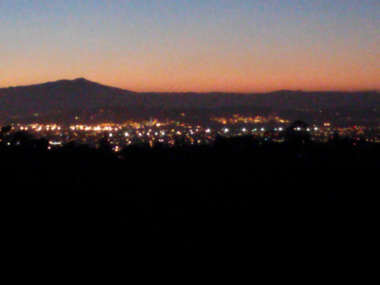
What makes Wildcat Canyon worth the visit is the San Pablo Ridge, and what makes the ridge worth the climb is the view. From its crest, hikers can look west to San Francisco Bay and the Pacific beyond, then turn east to see the San Pablo and Briones Reservoirs backed by the hulking profile of Mount Diablo. Nimitz Way, a mostly paved trail named for Admiral Chester W. Nimitz, follows this ridgeline for four miles and ranks among the most popular walks in the East Bay park system. The paving makes it accessible; the panorama makes it memorable. Red-tailed hawks and turkey vultures ride the thermals above the ridge, and on clear days the view extends far enough to make the entire Bay Area feel like a map laid flat beneath you. Below the ridge, Wildcat Creek winds through groves of alder and willow, its banks thick with blackberry brambles and fern, a different world entirely from the wind-scoured grasslands above.
Wild in the City's Shadow
For a park that borders Richmond, Wildcat Canyon harbors a surprising amount of wildlife. Coyotes trot through the meadows at dusk. Gopher snakes and king snakes hunt in the grass, while rubber boas - among the gentlest serpents in North America - curl beneath rotting logs in the wooded ravines. Great horned owls claim the oak groves at night, and Cooper's hawks weave through the canopy by day. Cattle still graze the hills under a program managed by the park district, keeping the non-native grasses in check and maintaining the open, rolling character of the landscape. The park's northern entrance at the Alvarado Area, designated a National Historic Place, serves as both gateway and reminder that this canyon has been a gathering point for a very long time - for indigenous communities, Spanish ranchers, Cold War engineers, and now for anyone willing to climb a hill for a view that earns every step.
From the Air
Wildcat Canyon Regional Park sits at 37.93N, 122.29W along the East Bay hills above Richmond. From the air, look for the long, undeveloped ridgeline of San Pablo Ridge running north-south between urban Richmond to the west and the San Pablo Reservoir to the east. The park's open grasslands contrast sharply with the developed areas surrounding it. Tilden Regional Park connects to its southern boundary. Nearest airports: Oakland International (KOAK) approximately 14 nm south, and Buchanan Field (KCCR) approximately 12 nm northeast. Bay Area conditions apply - summer fog may obscure western views, but the ridge itself typically stands above the marine layer.
Nearby Stories
- Isleton: The Half-Square-Mile Town That Made Perry Mason Famous 3.4 km away
- Eden Landing Ecological Reserve 5.1 km away
- Where Salt and Fresh Water Negotiate 10 km away
- The Kilns That Never Burned 13 km away
- Altamont Free Concert 17 km away
- Where Tectonic Plates Go for a Swim 18 km away
- Kesterson National Wildlife Refuge 77 km away
- ʻAkaka Falls State Park 3701 km away