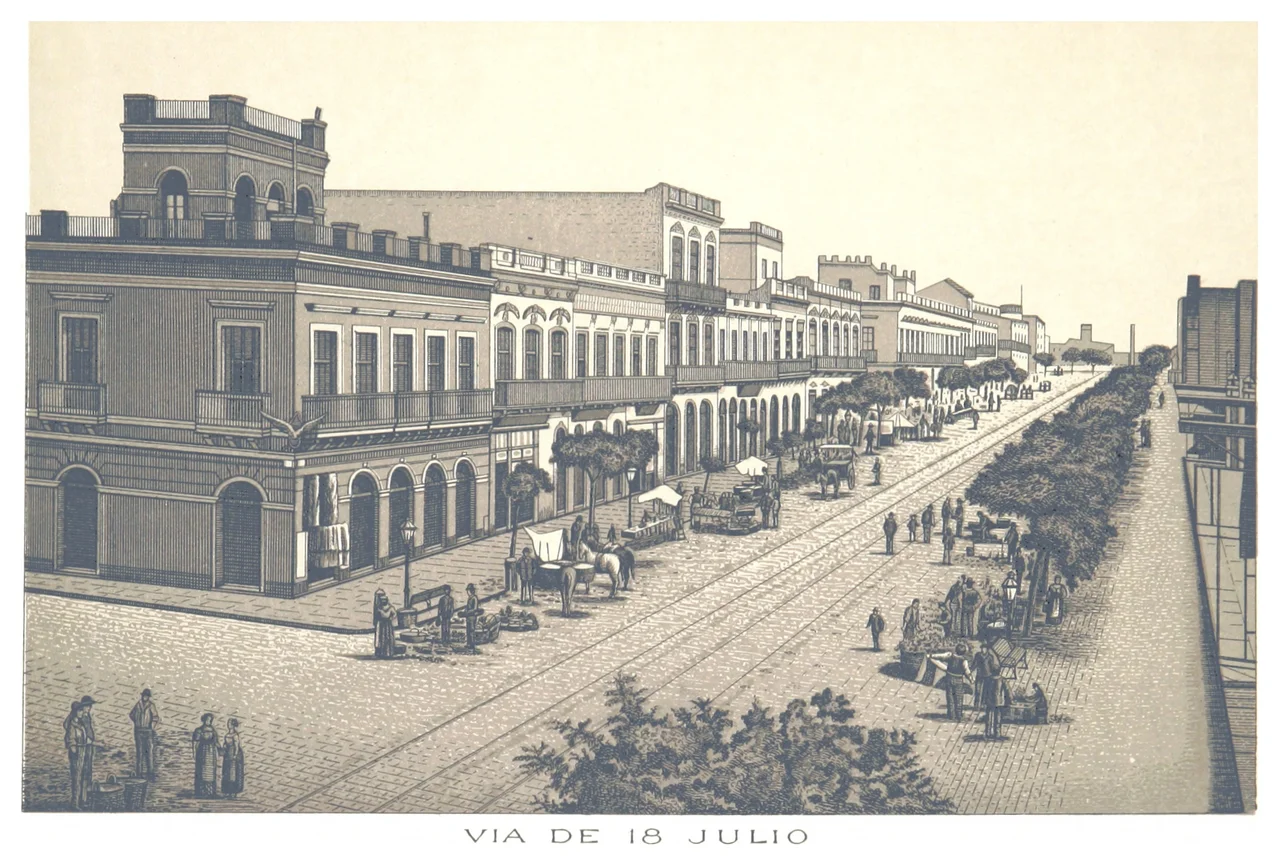

18 de Julio Avenue
A street named for a date. Not a hero, not a saint, not a battle, but a calendar square: July 18, 1830, the day Uruguay's first constitution was sworn into being. Avenida 18 de Julio runs arrow-straight through the heart of Montevideo, carrying the founding moment of a nation in its very name. Walk its length from the old city to the obelisk and you are walking the spine of Uruguay's capital, past art deco palaces, a kilometer-zero plaza, and the cafés where the city has done its talking for a century.
Born From a Demolished Wall
The avenue exists because Montevideo decided to break free of itself. In 1829, the Constituent Assembly ordered the colonial walls and fortifications torn down, and 18 de Julio was conceived as the central axis of the 'New City' rising beyond them. The planners drew it as a single straight line cutting eastward across the open ground. It begins at Plaza Independencia, on the edge of the old walled Ciudad Vieja, then runs through the barrios of Centro and Cordón before ending at the Obelisk in Tres Cruces, where it meets Artigas Boulevard. It is neither the widest nor the longest avenue in the city. It is simply the most important, the one address that matters.
The Palace That Touched the Sky
Where the avenue meets Plaza Independencia stands the Palacio Salvo, the building Montevideo cannot stop looking at. Completed in 1928 and designed by the Italian architect Mario Palanti, its eclectic tower of Gothic, Renaissance, and Neoclassical flourishes rises to 105 meters. At its inauguration it was the tallest building in all of South America. Palanti built a near-twin across the river in Buenos Aires, the Palacio Barolo, so that the two cities face each other across the Río de la Plata through matching spires. Along 18 de Julio, the Salvo anchors the city's finest stretch of art deco, joined by the Rinaldi and Díaz palaces, the geometry of the 1920s preserved in stone.
Kilometer Zero
Midway along the avenue lies Plaza de Cagancha, and here Uruguay literally begins. This square was chosen as the nerve center of the growing city, which is why the nation's 'kilometer zero' was set here, the origin point from which every road distance in the country is measured. At its center rises the Statue of Peace, 17 meters tall, inaugurated in 1867 to mark the end of a civil war between the country's two traditional parties, the National and the Colorado, that had concluded two years before. A monument to peace, planted at the point from which all journeys are counted, on a street named for the day a constitution was born. The symbolism stacks up neatly.
The City's Living Room
Beyond the monuments, 18 de Julio is where Montevideo simply happens. It is the city's great commercial artery and its civic stage, lined with shops, cafés, theaters, and crowds that thicken in the late afternoon. The Artigas Mausoleum honors the nation's founding father at the avenue's start, his remains kept in a solemn underground chamber beneath Plaza Independencia. The City Hall, the University of the Republic, and the Iglesia del Cordón punctuate the avenue's course, while the Edificio London París and the Edificio Lapido lend it more of the early-twentieth-century grandeur the street wears so well. The Obelisk closes it at the far end. On Saturdays parts of the avenue go car-free, becoming an open-air promenade for shoppers and strollers. A century and a half after it was drawn across the rubble of the old walls, the straight line still does exactly what it was meant to: gather the whole city onto one street.
From the Air
Avenida 18 de Julio runs through central Montevideo near 34.91°S, 56.19°W, on the north shore of the Río de la Plata estuary. From the air it reads as a straight diagonal slicing through the dense city grid, anchored at one end by Plaza Independencia and the Palacio Salvo tower near the waterfront, and at the other by the Obelisk in Tres Cruces. The broad brown estuary to the south is the dominant feature, and the Salvo's silhouette is a useful landmark. Montevideo's Carrasco International Airport (ICAO SUMU) lies about 20 km east of the city center. Visibility over the flat coastal plain is generally good; estuary haze and the occasional pampero wind off the plata are the main considerations. A low approach along the coastline gives the best view of the avenue cutting inland from the shore.
Nearby Stories
- Piriápolis 24 km away
- Minas 40 km away
- Tronador (rocket) 67 km away
- Nueva Helvecia 69 km away
- La Plata Museum 122 km away
- Battle of Sarandí 126 km away
- Mundo Marino 145 km away
- South Georgia Island 2584 km away