Five Minutes of Shaking, Then the Sea Rose
At 7:40 on the morning of November 26, 1852, the ground beneath the Banda Islands began to shake. It did not stop for five minutes. In the nutmeg plantations that the Dutch had carved from conquered land, in the colonial houses of Banda Neira, in the fishing villages that clung to the smaller islands, people felt the earth heave with a force later rated XI on the Modified Mercalli scale -- violent enough to destroy well-built structures, to crack the ground open, to make standing impossible. Then the shaking stopped. About fifteen minutes later, the sea arrived. Waves measuring up to eight meters crashed into Banda Neira, Saparua, Haruku, and Ceram, washing away villages, ships, and the people who had not fled to higher ground. At least sixty people died. It was the worst disaster to strike the Banda Islands since the Dutch themselves had arrived two centuries earlier, and it left a scientific puzzle that researchers are still arguing over today.
The Nutmeg Islands Under Siege
By 1852, the Banda Islands had already endured centuries of catastrophe, much of it human-made. These tiny volcanic specks in the Banda Sea had been the world's sole source of nutmeg, and that distinction brought the full weight of European colonial violence. In 1621, the Dutch East India Company and Japanese mercenaries massacred the Bandanese, reducing a population of thirteen to fifteen thousand to fewer than a thousand survivors through killing, starvation, and expulsion. The VOC then installed a plantation system worked by enslaved laborers, turning the islands into a production facility for a single spice. Hurricanes destroyed the nutmeg crops in 1797 and 1815. An earthquake leveled plantations in 1816. Gunung Api, the active volcano at the archipelago's center, erupted in 1820 and obliterated whatever had been rebuilt. Into this pattern of destruction and reconstruction came the earthquake of 1852, which collapsed almost every house on the islands and sent tsunami waves surging through the narrow straits for more than two hours.
When the Water Did Not Pull Back
The survivors' accounts contained a detail that would puzzle scientists for over a century. Before the tsunami struck, the sea rose. It did not first withdraw -- the classic drawback that signals a subduction-zone megathrust earthquake, where the overriding plate snaps upward and briefly pulls the ocean away from shore. Instead, people on Banda Neira recalled a surge in seawater, followed by the waves. This sequence mattered enormously for understanding what had happened beneath the seafloor. A megathrust rupture along the subduction zone would have produced a negative wave first, pulling water away from the islands before the tsunami arrived. The fact that residents reported a rise, not a retreat, suggested a different mechanism entirely. Some researchers proposed that the earthquake occurred on a shallow normal fault within the Banda Sea, and that the resulting tsunami was amplified by a submarine landslide triggered by the shaking -- a slump of sediment on the steep underwater slopes surrounding the volcanic arc.
A Debate Written in Waves
The argument over the 1852 earthquake's source has played out across decades of academic papers, each team marshaling the same sparse colonial records toward opposite conclusions. Phil Cummins proposed a moment magnitude of 7.5 on a low-angle normal fault near the Banda Islands, with a submarine landslide generating the tsunami. His reasoning: the violent ground shaking described in historical accounts could not have been produced by a megathrust earthquake, which would have been too far from the islands to cause such intense local effects. In 2016, Fisher and Harris countered with a megathrust model of magnitude 8.4 or greater along the Tanimbar Trough. Then in 2021, Hayden Ringer and colleagues pushed the estimate to 8.8, placing the epicenter southeast of Seram Island. Their tsunami models, based on rupture along the Seram Trough, matched the arrival times and wave heights recorded by Dutch officials with striking accuracy. The absence of a drawback? Ringer's team noted that the earthquake struck during spring tide, when water levels were at extreme lows -- a barely noticeable retreat would have been easy to miss.
The Restless Arc
The Banda Sea sits within one of the most tectonically complex regions on Earth, where the Australian and Sunda plates grind together and the crust has fractured into a constellation of minor plates and microplates. The convergent boundary resembles an arch, and oceanic lithosphere subducts to depths exceeding six hundred kilometers beneath it. The Weber Deep, a 7.2-kilometer-deep forearc basin between the megathrust front and the Banda Arc volcanic chain, is the deepest point in the world's non-oceanic waters -- a massive fault scarp formed when extension along the Banda Detachment began. No earthquakes have been instrumentally recorded on this fault, which means either it creeps aseismically or its last rupture predates modern seismographs. The 1852 event is not an isolated curiosity. Devastating tsunamis struck the Banda Islands in 1629, 1674, and 1899, each with wave heights exceeding three meters. The question is not whether the next great earthquake will come, but which of the region's many faults will produce it -- and whether the warning signs will be as ambiguous as those that preceded the morning of November 26, 1852.
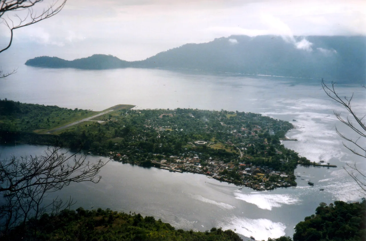
From the Air
Coordinates: 5.25S, 129.75E. The Banda Islands are a small volcanic archipelago in the Banda Sea, dominated by the cone of Gunung Api rising from the water. Banda Neira, the main settlement island, sits adjacent to the volcano. The islands are remote, located roughly 2,000 km east of Jakarta. Nearest airport is Banda Neira Airport (WPDB) on the islands themselves, though it handles only small aircraft. Ambon Pattimura Airport (WAMP) is the nearest major facility, approximately 130 km to the northwest. The deep blue of the Banda Sea and the volcanic cone make the islands unmistakable from cruising altitude.
Nearby Stories
- Banda Islands 38 km away
- The Abyss That Isn't a Trench 71 km away
- Maluku: Where the World Went to War Over Seasoning 190 km away
- Fort Victoria: Ambon's Stone Witness 212 km away
- One Stove, Three Stones 304 km away
- Wakatobi: Four Islands, One Name 622 km away
- Fort Dundas 665 km away
- Point Charles Light 772 km away