.jpg)
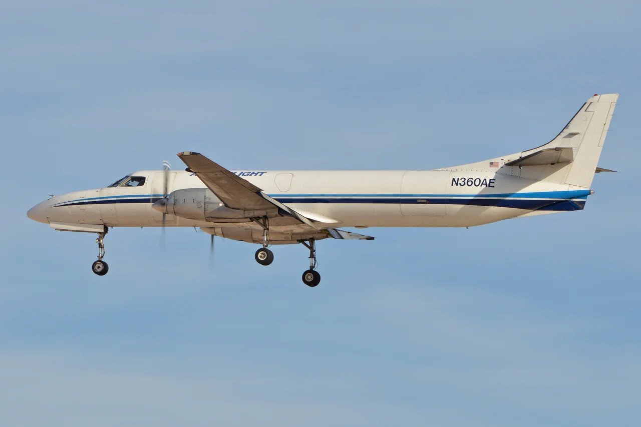
2012 Air Class Líneas Aéreas Fairchild Swearingen Metroliner crash
For more than a month, the families of Walter Rigo and Martín Riva waited without an answer. Their Fairchild Metroliner had taken off into the winter night of 6 June 2012, bound for Buenos Aires with a load of freight for DHL, and somewhere off the small island of Isla de Flores it simply stopped responding. The Río de la Plata is wide and brown and shallow in a way that hides things; it gives up its secrets slowly. A scuba diver finally found the wreckage in late July, two kilometers southwest of the island, on the riverbed where the aircraft had come to rest with its crew.
Two Men, One Aircraft
The plane was a Fairchild Swearingen SA227-AC Metro III, registration CX-LAS, built in 1982 and by 2012 carrying more than twenty-six thousand hours on its airframe. The Metroliner is a workhorse of the cargo world, a slim, fast turboprop that crews fly through the small hours hauling parcels between cities. In command that night was Captain Walter Rigo, a veteran with more than sixteen thousand flight hours behind him. Beside him sat First Officer Martín Riva, near the start of his career with four hundred and six hours logged. They were the only two souls aboard, flying a route they had every reason to expect would be uneventful.
A River That Would Not Tell
When contact was lost shortly after takeoff from Carrasco, the Uruguayan Air Force and Navy launched a search across the estuary. Weeks passed. Crews combed an enormous grid of grey water, and by the time half the search area had been covered they had found nothing, no debris, no slick, no signal. The disappearance gripped Uruguay; a small country does not lose an aircraft and two of its own without the whole nation holding its breath. Not until 20 July, more than six weeks after the crash, was the site located off Isla de Flores. Most of the aircraft was eventually recovered. The bodies of the two pilots never were.
What the Investigators Found
Uruguay's aviation accident commission, under the Ministry of National Defence, pieced the night back together. Their report describes a chain rather than a single failure. The crew had skipped a stop at the meteorological office to gather weather information before departure. Some checklists were omitted or run incorrectly. Critically, instruments powered by the aircraft's 115-volt AC system were never energized, leaving the pilots reading flight instruments that were not telling the truth. In the darkness over water, with no horizon to check against, those false indications cost the crew their sense of which way was up. The probable cause, investigators concluded, was a loss of control born of erroneous instrument readings and the loss of situational awareness that followed.
Isla de Flores
The island the flight never cleared has its own long history. Isla de Flores sits in the Río de la Plata a few kilometers off Montevideo, a low scrap of land crowned by a nineteenth-century lighthouse that once guided ships toward the port. For generations it served as a quarantine station, the first ground that immigrants and the sick touched before they were allowed near the city, and later it held a prison. Today it is a protected nature reserve, quiet but for the colonies of seabirds and the seals that haul out on its rocks. The 2012 accident folded a modern grief into that older landscape. To fly this stretch of coast now is to pass over both the lighthouse that has warned mariners for more than a century and a half and the patch of riverbed, two kilometers to the southwest, where two pilots were lost on an ordinary night's work and where one of them, and then the other, was never recovered.
From the Air
The crash site lies in the Río de la Plata at approximately 34.96 degrees south, 55.94 degrees west, about 2 km southwest of Isla de Flores and its lighthouse, roughly 25 km southeast of central Montevideo. The departure point, Carrasco International Airport (ICAO: SUMU), sits on the coast east of the city. The estuary here is broad and shallow, its brown freshwater meeting the Atlantic; the island and its lighthouse are the only vertical landmarks on an otherwise featureless expanse of water. Daytime overflights in clear winter weather give the best visibility, with the Montevideo skyline to the northwest and the open sea to the southeast.
Nearby Stories
- Piriápolis 24 km away
- Minas 40 km away
- Tronador (rocket) 67 km away
- Nueva Helvecia 69 km away
- La Plata Museum 122 km away
- Battle of Sarandí 126 km away
- Mundo Marino 145 km away
- South Georgia Island 2584 km away