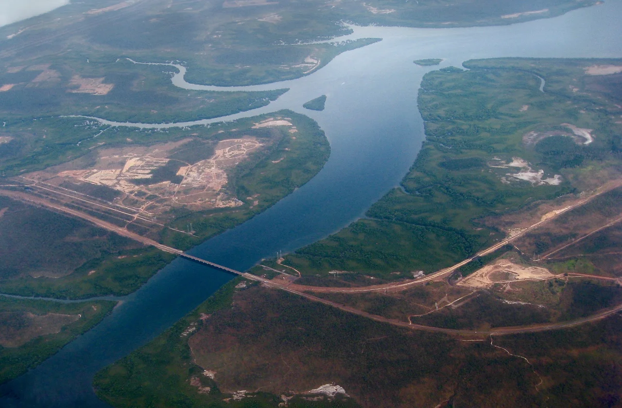

Adelaide–Darwin railway line
For most of the twentieth century, the line simply stopped. A train could run north from Adelaide as far as Alice Springs, and there it ended, swallowed by a thousand kilometres of red desert that no rail had ever crossed. The dream of a railway from the southern coast clear through to Darwin was as old as the colony itself, written into law in 1910 with one crucial omission: nobody specified a date. So it waited. And waited. The final link was not driven home until 2004, when the first train finally rolled into Darwin and closed a gap that had stayed open for the better part of a century.
The Ghan and Its Ghosts
The passenger train that runs the line carries a name that reaches back further than any rail. The Ghan honours the Afghan cameleers, the men who arrived in the late nineteenth century with their strings of camels and opened the interior when no other transport could. They hauled water, mail, tools and supplies to settlements that existed nowhere on a reliable map, and helped build the Overland Telegraph and the early rail lines that would one day make them obsolete. The original narrow-gauge line to Alice Springs, opened in 1929, took their name in tribute. Today's Ghan traverses the full transcontinental route between Adelaide and Darwin once a week in each direction, a scheduled journey of more than 53 hours that has become one of the great train rides on Earth.
Half-Finished for Generations
The story of the line is a story of stops and starts. The narrow-gauge Central Australia Railway crept north from the 1890s, reaching Alice Springs in 1929, the same year the North Australia Railway pushed south from Darwin to Birdum and then halted, a line going nowhere from the other end. In the late 1940s a new standard-gauge route was built to serve the Leigh Creek coalfields, deliberately swinging wide of the mountainous country near Quorn and Hawker. A modern line from Tarcoola to Alice Springs, far to the west and away from the flood country, opened in 1980. Then, in 1983, a newly elected federal government simply cancelled the rest. The project languished another sixteen years, a transcontinental railway frozen one desert short of completion.
The Last Frontier, Conquered
When construction of the final Alice Springs to Darwin section finally began in July 2001, it became one of the largest civil engineering efforts the country had undertaken in decades. Three governments and private partners poured well over a billion dollars into laying steel across some of the harshest terrain in Australia. The work moved fast. Completion came in September 2003, and on 17 January 2004 the first freight train reached Darwin. On 4 February 2004 the first passenger service arrived, having run 2,979 km from Adelaide in 47 hours. A line first imagined in the nineteenth century, mandated in 1910, and abandoned in 1983 was, at last, whole.
What the Trains Carry Now
The railway was built on the promise of trade, and its freight tells the fickle story of outback mining in real numbers. Iron ore, manganese and copper concentrate once flowed north to Port Darwin by the millions of tonnes; as mines opened and closed, the cargo rose and fell and rose again. Since 2009 the line has carried copper-gold ore from the Prominent Hill mine, loaded at a siding at Wirrida and railed south to Port Adelaide. Ownership has changed hands more than once, the original operator collapsing under construction debt before the line passed eventually to Aurizon. Through it all the steel endures, threading 2,979 km of standard gauge from the temperate south to the tropical Top End, the spine of a continent finally joined.
From the Air
The Adelaide-Darwin rail corridor runs roughly 2,979 km north-south across the centre of Australia; a representative point on the South Australian section sits near 29.73 degrees south, 135.57 degrees east, west of Lake Eyre. From cruising altitude the line appears as an arrow-straight scar across pale desert, often paralleled by the Stuart Highway, and is most visible where it crosses open gibber plains. Major airports along or near the route include Adelaide (ICAO YPAD) at the southern terminus, Alice Springs (ICAO YBAS) at the midpoint, and Darwin (ICAO YPDN) in the north; Tarcoola and Tennant Creek offer remote strips between them. For tracing the line, 8,000-15,000 ft gives the best sense of its scale against the surrounding emptiness. Expect excellent visibility over the arid interior, intense convective turbulence on hot afternoons, and very long distances between services.
Nearby Stories
- Stuart Range 41 km away
- Strangways Springs 65 km away
- Commonwealth Hill Station 83 km away
- Wilgena Station 84 km away
- Olympic Dam mine 89 km away
- Coober Pedy Solar Power Station 92 km away
- Tarcoola railway station 118 km away
- Marree Man 139 km away