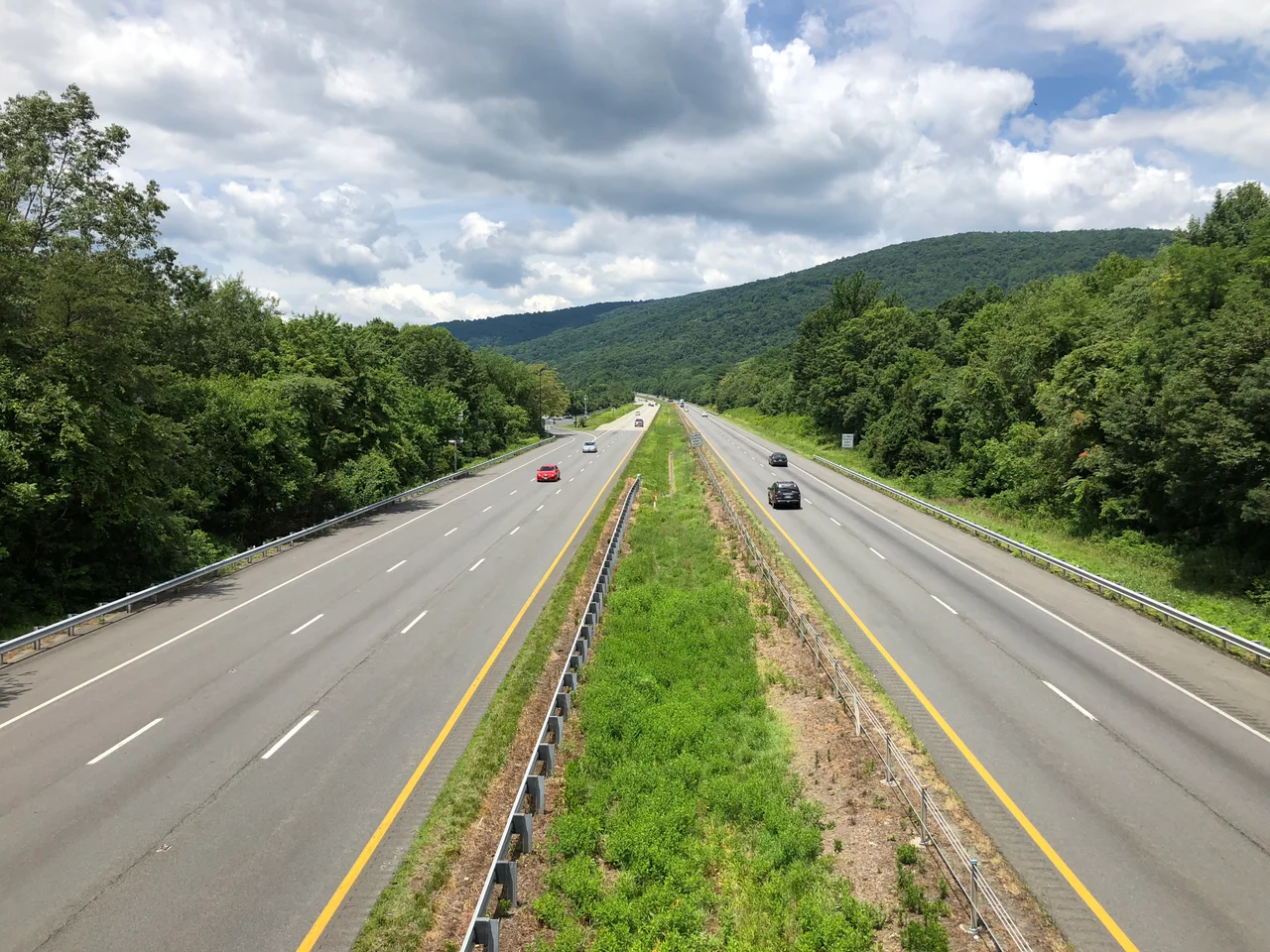
_in_Greenwood,_Albemarle_County,_Virginia.jpg)
Albemarle County, Virginia
Three of the United States's first five presidents lived in or had homes in Albemarle County, Virginia. Thomas Jefferson built Monticello on a hilltop here. James Monroe built Ash Lawn-Highland a few miles away. James Madison was not technically a resident, but he visited Monticello often enough that the road between Montpelier and Albemarle was its own kind of political institution. The county that produced the Declaration of Independence's author was, until the Civil War, also a county where a majority of the population was enslaved.
From Saponi Land to a 1744 County
Before European contact the Piedmont rolling hills west of the James River were Saponi country - a Siouan-speaking nation whose villages and trade routes covered much of central Virginia. By the early 18th century the Saponi had been pushed south and west by colonial expansion and Iroquois pressure. In 1744 the Virginia General Assembly carved Albemarle County out of the western part of Goochland County, naming it after Willem Anne van Keppel, 2nd Earl of Albemarle, then the titular Governor of Virginia. Original Albemarle was larger than today's county. The 1761 partition created Buckingham and Amherst counties and moved the county seat from Scottsville to a more central location, christened Charlottesville. The settlement pattern was set: small Piedmont plantations, tobacco and later mixed agriculture, and a population sustained by enslaved labor.
The Jefferson Era
Thomas Jefferson lived most of his life in Albemarle County. He inherited his father's plantation, began building Monticello on his hilltop in 1768, and continued modifying the house for the next forty years. When the Revolutionary War began in 1775 Jefferson was made colonel of the Albemarle Militia. In 1781 British cavalry under Banastre Tarleton attempted to capture him at Monticello; Jack Jouett, an Albemarle native later known as the Paul Revere of the South, rode forty miles through the night to warn Jefferson and the legislators at Charlottesville, saving them from capture. James Monroe, who would become the fifth president, settled at Ash Lawn-Highland just down the road from Monticello in 1799. Meriwether Lewis, born in Albemarle in 1774, would lead the Lewis and Clark Expedition. The cluster of consequential American lives traced back to this single Piedmont county is unusual.
Slavery and Reckoning
Until the Civil War the majority of Albemarle County's population was enslaved. The economy ran on the labor of African Americans owned by the same plantation families whose names dominate the county's historical record. Jefferson himself owned more than 600 enslaved people over his lifetime, including the Hemings family and Sally Hemings, with whom he fathered children. Albemarle has more recently participated in the Equal Justice Initiative's Community Remembrance Project, which acknowledges the African Americans who lived, worked, and died here. During the Civil War the Battle of Rio Hill was fought in the county when Union cavalry raided a Confederate camp - a small action, but a reminder that even Albemarle's quietest hollows became battlefields. The university Jefferson founded in 1819, the University of Virginia, sits partly within the county. The 2017 white supremacist rally and the 2022 university mass shooting added new chapters to the county's complicated public memory.
Modern Albemarle
The 2020 census counted 112,395 residents across 726 square miles. The county wraps around Charlottesville - an independent city under Virginia's unusual constitutional arrangement - and borders eight other counties, more than any other county in Virginia. The economy mixes the University of Virginia's research presence, professional services, agriculture, vineyards on the slopes of the Blue Ridge foothills, and tourism focused on Monticello, Ash Lawn-Highland, and the university. The Rivanna River's South Fork forms in the county; the James River bounds it to the south. The western edge runs up to Shenandoah National Park. Albemarle is one of the most highly educated counties in Virginia - 22 percent of residents hold a graduate or professional degree, against 10 percent nationally - and one of the few Democratic-leaning counties in central Virginia, a political shift driven largely by university growth since the 1990s.
From the Air
Centered near 38.03 degrees north, 78.56 degrees west, in the central Piedmont of Virginia. From 6,000 to 9,000 feet AGL the rolling hills of Albemarle reach west to the Blue Ridge of Shenandoah National Park, with Charlottesville and the University of Virginia campus visible near the eastern edge, Monticello on a distinct hilltop just southeast of Charlottesville. The James River bounds the south. Nearest airports are Charlottesville-Albemarle (KCHO) and Shenandoah Valley Regional (KSHD) across the Blue Ridge to the west.
Nearby Stories
- Augusta County Training School 10 km away
- A. P. Hill Boyhood Home 18 km away
- Reddish Knob 20 km away
- Amherst County, Virginia 21 km away
- Appalachian Trail 21 km away
- Fork Union Military Academy 28 km away
- Huguenot Memorial Chapel and Monument 39 km away