Ecuadorian Amazon
In 1541, Francisco de Orellana left Quito with a detachment of 57 men to find cinnamon, gold, and a fabled city no one had ever seen. He and his troops built a boat at the confluence of the Coca and Napo rivers, fell out of contact with the rest of the expedition, and eventually floated all the way to the Atlantic, becoming the first Europeans to traverse South America east to west down the full length of the Amazon. The point where he started his journey is now the small city of Puerto Francisco de Orellana, usually called Coca, one of the main gateways to what Ecuadorians call simply el Oriente - the east. The Ecuadorian Amazon is the least populous and least visited third of the country, 400 meters above sea level on average, green in every direction you can see.
Six Provinces, One Forest
The Ecuadorian Amazon basin spreads across six provinces: Sucumbios in the north, Orellana on the central Napo, Napo at its western edge, Pastaza stretching east toward Peru, Morona Santiago in the south-central highlands, and Zamora Chinchipe at the southeastern corner. Each has its own character. Sucumbios centers on Lago Agrio, a frontier oil town. Orellana is the canoe gateway deeper into the forest. Pastaza, the largest province in Ecuador by area, is mostly untouched jungle. Zamora Chinchipe borders Peru and holds old gold mines alongside Podocarpus National Park. The forest itself, though, does not respect provincial lines. It is one continuous ecosystem that also covers parts of Peru, Colombia, and Brazil, a single green canopy across thousands of square kilometers.
Why You Do Not Go Alone
Experienced travelers treat the Ecuadorian Amazon as one of the few places in the world where independent travel is genuinely unwise. Not because of bandits or violence - though those exist in some areas - but because the forest itself is vast, featureless to an untrained eye, and unforgiving of mistakes. Unless you are studying the region, teaching in a village, or working on a project, you are unlikely to know enough to stay safe, find your way, or learn anything meaningful about the plants and animals that make the place worth visiting. The alternative is a jungle lodge. Dozens of them dot the Napo, the Aguarico, and the tributaries off them. The best are located inside private or community reserves that protect them from the farming, logging, and oil drilling that have eaten at the forest's edges for decades. You stay in a screened cabin, eat meals prepared on site, and spend your days on birding hikes, canoe trips, and piranha fishing with a guide.
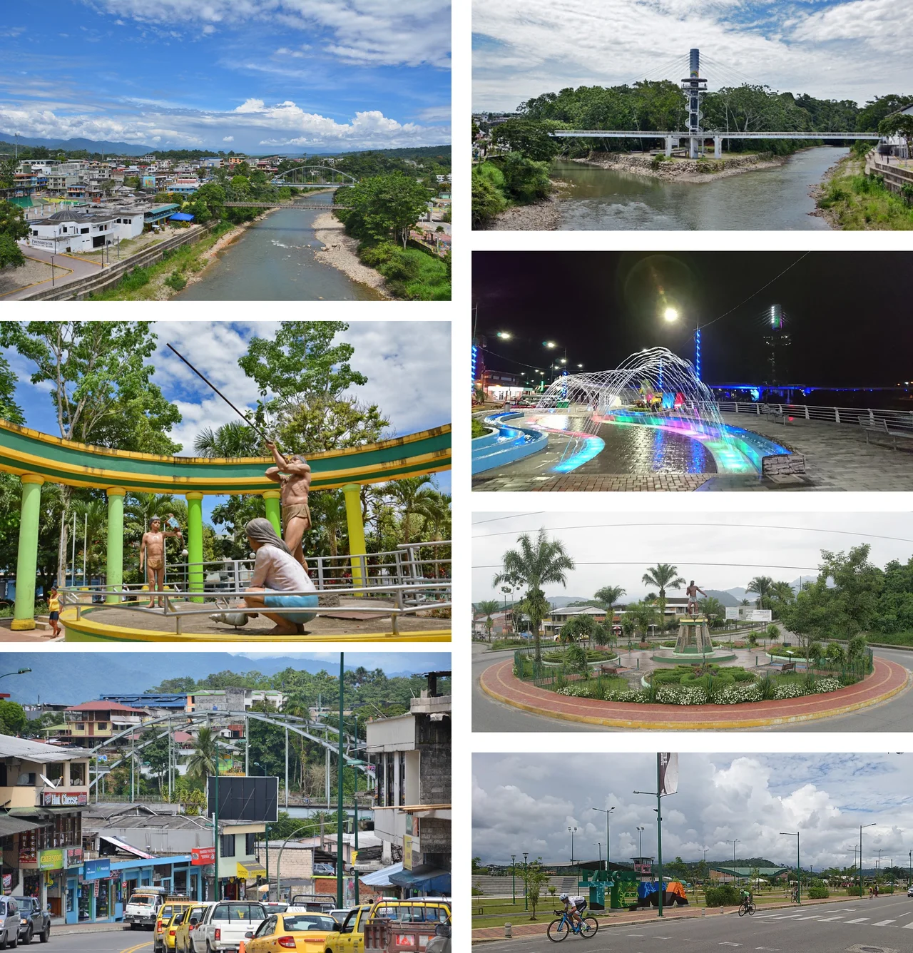
How to Arrive
The road journey is long but doable. From Quito, Lago Agrio is about seven hours by bus on winding mountain roads that descend from the Andes into the rainforest. Tena is six hours from the capital, an entry point for communities along the upper Napo. From Tena, it is another five hours to Coca, the provincial capital of Orellana. Most travelers skip the bus and fly. Three flights a day connect Quito with Lago Agrio, except Sundays, each about 30 minutes. Two flights a day connect Quito with Coca's Francisco de Orellana Airport, also weekdays, about 25 minutes. From either town, the next leg is by motorized canoe: three to six hours downstream to whichever lodge you have booked, with afternoon rain virtually guaranteed and a poncho required gear.
What a Lodge Actually Costs
Jungle lodges run from under 100 dollars a night at the budget end to well over 250 at the top. A typical package includes airport transfers, accommodations, meals, guided activities, and usually a language-matched naturalist guide. Alcohol, snacks beyond meals, and tips are extra. Booking directly with a lodge or through an Ecuadorian travel agency almost always produces better rates than booking from North America or Europe. Some lodges are foreign investments; others are community-owned, typically by Kichwa, Shuar, or Huaorani groups who have turned their ancestral lands into conservation enterprises. The luxury end often features riverside boardwalks, canopy towers up to 40 meters high, and guides who can identify birds that most visitors have never heard of. The budget end trades comfort for access to the same forest at a lower cost.
What You See When You Are There
A good three-day trip in the Ecuadorian Amazon typically means two or three activities per day. Dawn birding walks with a naturalist start while the air is cool and the canopy is full of sound. Parrots and macaws fly to clay licks to eat minerals that detoxify their tropical diet. Monkeys - capuchins, howlers, squirrel, spider, sometimes others - move through the upper branches. Piranha fishing with simple hand lines happens from a canoe, and if you catch one, the lodge cooks it for dinner. Night hikes reveal tarantulas, snakes, caimans, and the vast insect community that runs the forest. Visiting indigenous communities is usually the most expensive and logistically complex activity, requiring small aircraft or extended canoe trips to reach. But for those who make the effort, the chance to see a forest that has been home to human beings for thousands of years, and is still lived in as home rather than exhibit, is worth the full cost of the visit.
From the Air
The Ecuadorian Amazon centers approximately on 0.8 degrees S, 76.9 degrees W and extends across six provinces east of the Andean cordillera. Base elevation is around 400 meters above sea level rising to foothills at 1,500 meters. Principal airports include Francisco de Orellana Airport (SECO/OCC) serving Coca and Nueva Loja Airport (SENL/LGQ) serving Lago Agrio, both reachable by short flights from Mariscal Sucre International Airport (SEQM/UIO) in Quito. Dense tropical rainforest with frequent afternoon convective activity and reduced visibility. VFR conditions usually acceptable in the early morning; afternoon storms are the norm.
Nearby Stories
- Yasuní National Park 21 km away
- Sumaco Napo-Galeras National Park 28 km away
- Yasuni-ITT Initiative 42 km away
- Tena 57 km away
- Cuyabeno Wildlife Reserve 68 km away
- Puyo 88 km away
- Puyo, Pastaza 140 km away