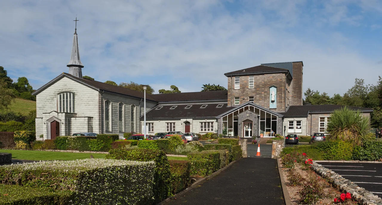

Ards Forest Park
Diarmuid and Grainne slept here, or so the old people will tell you, pointing at the megalithic tombs that lie scattered through the trees like furniture from another world. The legendary lovers, fleeing the wrath of Fionn Mac Cumhaill, supposedly spent their nights of exile in these stone chambers across Ireland - and four of them happen to stand in Ards Forest Park, on a small peninsula jutting into Sheephaven Bay in northern Donegal. The myth has outlasted the manor house. Ards House, the Stewart family seat that once anchored this 480-hectare estate, was demolished in the early 1960s. The forest remembers what the architecture forgot.
The Stewart Centuries
Alexander Stewart bought the Ards Estate in the 1780s, and his descendants held it for roughly 150 years. The last of them was Lady Ena Stewart-Bam, who inherited from her grandfather around 1904 and married Lt. Col. Sir Pieter van B. Stewart-Bam in 1910 - a South African soldier, politician, and businessman whose name now sits like a curiosity in the local records. Through the Famine years, through Land League agitation, through two world wars, the Stewarts ran this corner of Donegal as a working country estate. Then the world that supported such estates collapsed, the family connection thinned, and the big house came down. Coillte, the Irish state forestry body, took over what remained. What had been private parkland for the privileged became, in time, a public forest for anyone who could find the N56 between Creeslough and Dunfanaghy.
Stone Beds and Iron Rings
Inside the forest, the visitor walks across multiple layers of Irish history without always realizing it. The four ringforts here are the circular earthen enclosures that once housed farming families during the Early Christian period - prehistory in stone, scattered across the country in tens of thousands. The megalithic tombs are older still, raised by Neolithic builders for whom these chambers held the dead. Centuries later, Catholics with nowhere else to go held Mass at a rock in this forest during the Penal Laws, when celebrating the Catholic liturgy could earn a priest exile or death. The Ague Well, a holy well along the Heritage Trail, drew pilgrims hoping its waters would cure fevers. Layer upon layer, the forest holds them all - the prehistoric, the medieval, the persecuted, the curious - in the same 480 hectares of pine and oak.
Walking the Peninsula
The park offers four signposted trails, each tuned to a different appetite. The Ards Heritage Trail covers about 3.5 kilometres, threading past the well and the Mass rock. The Nature Trail and Green Trail run roughly 3 kilometres apiece. The Red Trail stretches 13 kilometres around the peninsula's full edge, with a built-in shortcut for the moment when ambition runs out. Viewpoints open suddenly onto Sheephaven Bay, where the Atlantic carves the coast of north Donegal into a fractal of inlets and headlands. Just outside the park's northern boundary at Ballymore stands Clondehorky parish church, an 18th-century Georgian Church of Ireland building possibly designed by Michael Priestly. Across from its gate stands Ballymore Arch, raised by the Stewarts in the 19th century to ease the long journey from church to the now-demolished house at the peninsula's tip.
What Remains
Ards Forest Park is a strange and gentle survival. The estate that created its parklike character is gone - the house demolished, the family scattered, the empire that produced South African colonels and Donegal landowners reduced to footnotes. But the trees the Stewarts planted are still here. The ringforts and tombs that predated them by millennia are still here. The bay still cuts the same shape into the coast. And on any given afternoon, families with picnic baskets walk past a holy well, a Mass rock, and a Neolithic chamber tomb without giving them much thought - which is, in its way, the most Irish thing of all. The past does not announce itself in Donegal. It simply waits in the trees for those who care to notice.
From the Air
Coordinates 55.15 degrees N, 7.91 degrees W on the Ards Peninsula in north Donegal, jutting into Sheephaven Bay on the N56 between Creeslough and Dunfanaghy. Best viewed at 2,000 to 4,000 feet AGL for the peninsula shape and bay contours. Nearest airport is Donegal Airport (EIDL) at Carrickfinn, roughly 30 km southwest; City of Derry Airport (EGAE) sits about 55 km east. Common weather features include Atlantic cloud and rapidly shifting visibility off the coast.
Nearby Stories
- Owey Island 6.4 km away
- Proxy Bomb 8 km away
- German submarine U-218 12 km away
- SS Devonian (1900) 15 km away
- Gortin 18 km away
- German submarine U-1005 20 km away
- Killybegs 23 km away
- Donegal Castle 25 km away