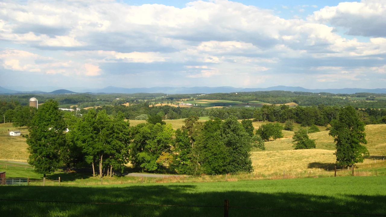

Augusta County, Virginia
On paper, the original Augusta County reached the Pacific Ocean. When the Virginia colonial government carved it out of Orange County in 1738, the new county's western boundary was undefined - in colonial terms, it extended indefinitely westward, theoretically all the way to the South Sea. Most of present-day West Virginia, all of Kentucky, and the territory north and west of those areas were nominally within Augusta County. The settlers actually living in the county at the time would have been astonished by the claim. They were trying to survive in the Shenandoah Valley. The Pacific was a rumor. Over the next century and a half, Augusta County's enormous notional territory was carved up into other counties and entire states. What remains today is 971 square miles in the central Shenandoah Valley, with a population of 77,487.
Named for a Princess
The county was named for Princess Augusta of Saxe-Gotha, the German princess who became Princess of Wales by marrying Frederick, son of King George II. Frederick died before he could become king, but Augusta lived on to be the mother of King George III - the same George III who would lose the American colonies in the Revolution. The naming was a routine colonial gesture toward the British royal family, made in 1738 when nobody anticipated that the colonies named for them would soon revolt. Augusta County's government was not actually organized until 1745. The Augusta County Sheriff's Office was created that year when James Patton - an Irish immigrant who served simultaneously as Justice of the Peace, Colonel of Militia, Chief Commander of the Augusta County Militia, County Lieutenant, President of the Augusta Court, county coroner, county escheator, and County Sheriff - was elected as the first sheriff. The early Virginia colonial system allowed substantial concentration of offices in single individuals.
The Civil War Catastrophe
The Virginia Central Railroad ran through Augusta County, connecting the Shenandoah Valley to the Confederate capital at Richmond. The valley's farms supplied food to Lee's army. The county therefore became a major target of Union military operations. On June 5, 1864, the Battle of Piedmont - one of the bloodiest engagements fought in the Shenandoah Valley - took place in Augusta County. The Union victory let Federal forces occupy Staunton and destroy many of the facilities supporting the Confederate war effort. Later that same year, Augusta County was devastated again during what Virginians remember as "the Burning" - General Philip H. Sheridan's deliberate campaign to destroy the agricultural capacity of the Shenandoah Valley. Sheridan's troops burned farms, destroyed grain stores, and killed virtually all the farm animals across a wide swath of the valley. The Confederate army was supposed to be denied any future supply from the area. The Augusta County farmers who lost everything were not Confederate soldiers, but they were producers, and that made them targets.
The Doughnut County
Augusta County today completely surrounds the independent cities of Staunton and Waynesboro, but neither city is part of the county. Staunton, originally the county seat, incorporated as a city in 1871 and separated from Augusta County in 1902. Waynesboro followed in 1948. Both retained their independence under Virginia's unusual system, which distinguishes "independent cities" from counties as separate units of local government. Staunton remains the official Augusta County seat, but most county administrative offices are actually located in Verona, a community a few miles north. The result is a county shaped like a doughnut, with two holes - a geography that complicates everything from school districts to law enforcement to economic development planning. The county has seven magisterial districts: Beverley Manor, Middle River, North River, Pastures, Riverheads, South River, and Wayne.
The President Born in Staunton
Thomas Woodrow Wilson - the 28th President of the United States, the 34th Governor of New Jersey, and the 13th President of Princeton University - was born in Staunton on December 28, 1856. His birthplace is now a National Historic Landmark museum. Other notable Augusta County natives include Thomas Adams, a signer of the Articles of Confederation; Robert Allen, a U.S. Congressman from Tennessee; Joel F. Salatin, the agriculture writer and Polyface Farm operator at Swoope; and Kate Smith, the contralto known as "The First Lady of Radio" whose 1938 recording of Irving Berlin's "God Bless America" became one of the most-played songs in American radio history. Smith was born in Greenville, Augusta County, on May 1, 1907, and her version of the Berlin song has been played at countless American sporting events since.
Three Protected Areas
Augusta County is rich in federally protected land. Part of the Blue Ridge Parkway runs along the eastern edge of the county on the spine of the Blue Ridge Mountains. Part of Shenandoah National Park lies within the county. Part of the George Washington National Forest covers the western mountain country. The county is also home to the Natural Chimneys, a regional park featuring towering limestone formations that rise from the valley floor like enormous stone columns. The county sits at the junction of Interstates 64 and 81, which makes the Staunton-Waynesboro metro area one of the most accessible mountain crossings in the central Appalachians. Travelers driving north-south on I-81 between Pennsylvania and Tennessee pass through Augusta County. So do travelers heading east-west on I-64 between Charlottesville and West Virginia. The historic Staunton-Parkersburg Turnpike, which played such an important role in the Civil War campaigns to the west, started here.
From the Air
Located at 38.20 degrees north, 79.12 degrees west, in the central Shenandoah Valley of west-central Virginia. The county spans 971 square miles between the Blue Ridge Mountains to the east and the Allegheny Mountains to the west. Best viewed from VFR altitudes of 5,500 to 8,500 feet AGL. The primary airport is Shenandoah Valley Regional (KSHD) at Weyers Cave in the heart of the county, with commercial service and a 6,002-foot runway. Eagles Nest (W13) and other small airports serve the area. The northwestern corner of the county lies within the U.S. National Radio Quiet Zone - check NOTAMs. Watch for mountain wave on the ridges and rapid weather changes.
Nearby Stories
- Durbin and Greenbrier Valley Railroad 5.9 km away
- Murder of Hannah Graham 13 km away
- 2023 Virginia Cessna Citation Crash 16 km away
- Fort Dinwiddie 17 km away
- Jackson's Valley Campaign 19 km away
- Pendleton County, West Virginia 22 km away
- Albemarle Barracks 26 km away
- Alleghany County, Virginia 28 km away