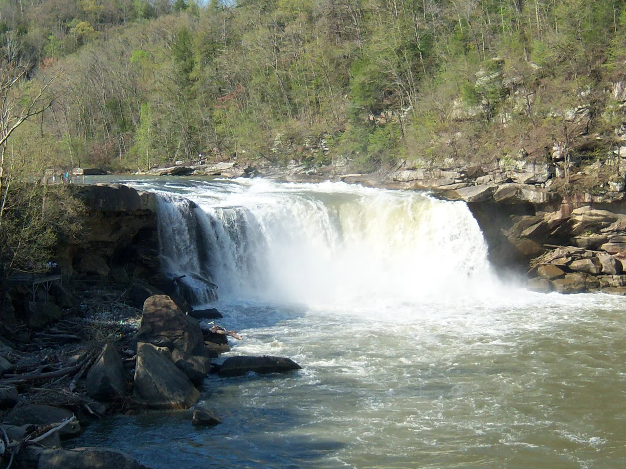

Bad Branch Falls State Nature Preserve
Pine Mountain runs for 125 miles down the Kentucky-Virginia line, an unbroken sandstone wall older than the Appalachians around it. About six miles south of Whitesburg, a narrow, dark stream called Bad Branch has spent millennia cutting through that wall, gouging a slot canyon with vertical sandstone cliffs and a 60-foot waterfall at its head. The gorge that resulted is one of the most biologically rich spots in eastern Kentucky - cool, wet, sheltered, full of species that have nowhere else to be. On September 26, 1985, the Office of Kentucky Nature Preserves dedicated 2,639 acres around the gorge as Bad Branch Falls State Nature Preserve. The following year Kentucky added Bad Branch itself to its Wild Rivers system. The protection came not a moment too soon.
The Geology of the Cut
Pine Mountain is a sandstone monocline - a single, long, tilted layer of resistant rock that has refused to erode at the pace of the softer mountains around it. Bad Branch found a weakness in the cliff and exploited it. The result is a narrow gorge with vertical walls of Pennsylvanian-age Lee Sandstone, capped by overhanging cliffs and broken by ledges of mossy stone. The 60-foot waterfall at the head of the preserve drops over one such cliff into a plunge pool ringed by hemlocks. Cool, humid air pools in the shaded bottom of the gorge year-round. That microclimate is the reason for everything else.
What Lives Here
Because the gorge stays cool when the surrounding ridges bake, plants that ordinarily belong farther north survive in pockets here. Eastern hemlock, mountain laurel, and rosebay rhododendron dominate the lower slopes. Higher up are pitch pine and table mountain pine, both fire-adapted species that hold to the sandstone ledges. The preserve harbors several rare salamanders, the federally listed Indiana bat, and the only known Kentucky population of the common raven - a bird more usually associated with the high peaks of the southern Appalachians. Botanists have documented around 750 plant species in the preserve, an unusually high number for so small an area, including several rare orchids.
Buying a Forest in Pieces
The preserve was assembled property by property. The Nature Conservancy acquired the original 435-acre tract that held the upper watershed; a $500,000 gift from the Mary and Barry Bingham Sr. Fund of Louisville made that purchase possible. The Kentucky State Nature Preserves Commission added 820 acres in 1997. Other parcels - roughly 900 acres in total - are now protected through landowner agreements and conservation registries rather than outright ownership. The preserve is adjacent to the Jefferson National Forest, and the combined protected acreage on this side of Pine Mountain creates a buffer big enough to keep the gorge cold, dark, and damp - the conditions everything that lives there needs.
The Trail to the Falls
A trail leads from the parking area along the creek up to the falls, about a mile and a half each way. The grade is moderate. The footing is rocky. Hemlocks lean over the path; the creek runs fast and clear over sandstone slabs. At the falls, the trail dead-ends at a viewing area where the water drops into the plunge pool with a roar audible from far down the gorge. A more strenuous side trail climbs to High Rock, a sandstone cliff at the top of Pine Mountain with a view that runs out across the Cumberland Plateau into Virginia. On clear winter days the view stretches for fifty miles. Bad Branch keeps secrets the way only old, cold, narrow places can.
From the Air
Located at 37.07°N, 82.77°W in Letcher County, Kentucky, on the north face of Pine Mountain about 6 nm southeast of Whitesburg. From the air the preserve appears as a sharp dark cleft in the long ridge of Pine Mountain, with the cleft running roughly north-northeast. The 60-foot waterfall and gorge are visible in clear conditions as a deep shadow along the ridge face. Nearby airports: K0KY (Whitesburg-Letcher County) is about 6 nm northwest; KPBX (Pike County) is about 25 nm east-northeast; KTYS (Knoxville, TN) lies about 90 nm southwest. Recommended viewing altitude 3,000-5,000 ft AGL. The Jefferson National Forest extends south of the preserve across the Virginia state line.
Nearby Stories
- Alice Lloyd College 11 km away
- 2002 Appalachian School of Law shooting 15 km away
- Bristol, Virginia 16 km away
- Scott County, Virginia 17 km away
- Appalachian School of Law 34 km away
- Cumberland Gap 35 km away
- The Kentucky Meat Shower: When Flesh Fell From a Clear Sky 102 km away
- Fraterville Mine Disaster 118 km away