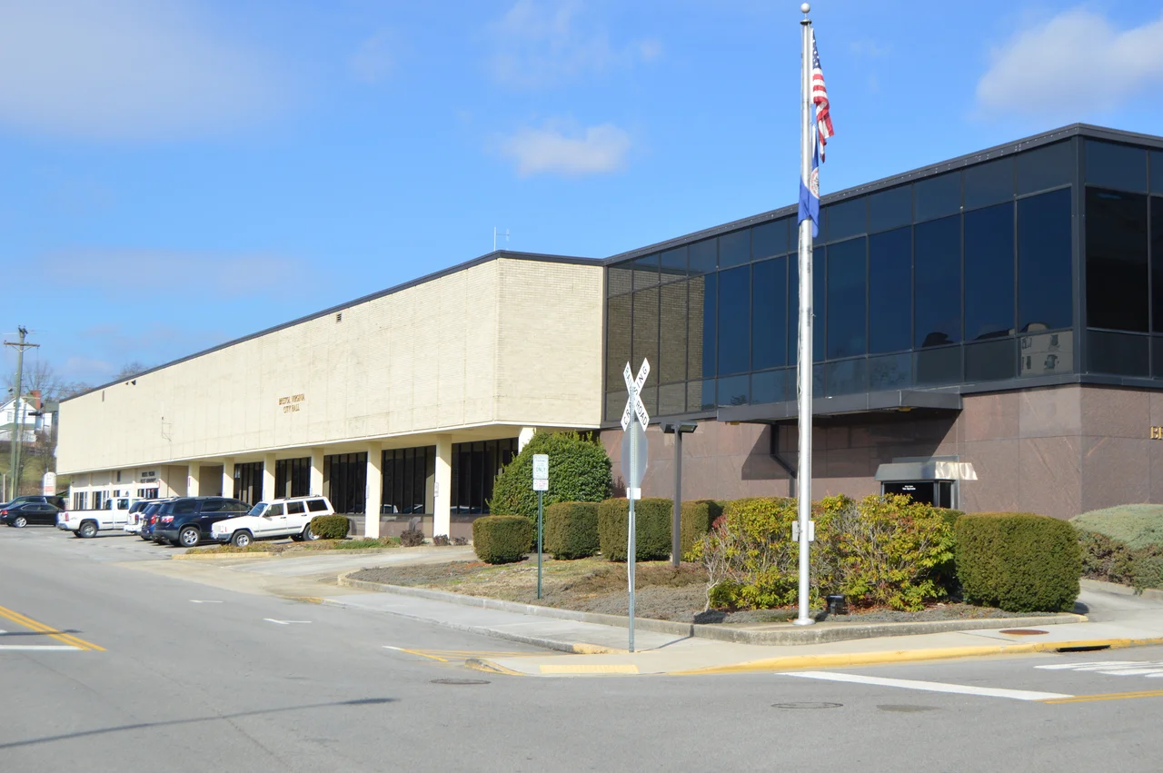

Bristol, Virginia
The double yellow line painted down the middle of State Street is also a state border. Step across it and you have left Virginia and entered Tennessee, or the other way around, depending which direction you were heading. A brass marker is embedded in the asphalt for anybody who needs the line drawn for them. Bristol is two cities, twins separated by a line a road crew can repaint - and on a hot day in 1927, in a building just off that line on the Tennessee side, a record producer named Ralph Peer set up portable equipment on the second and third floors of the Taylor-Christian Hat Company and recorded the music that became country.
The Bristol Sessions
In late July 1927 Peer, working for Victor Records, ran a newspaper ad asking local musicians to come audition. He paid $50 a song and royalties. On July 31, A.P. Carter, his wife Sara, and his sister-in-law Maybelle drove over from Maces Spring, Virginia - about 25 miles away in Poor Valley - to record. A few days later a Mississippi-born railroad brakeman named Jimmie Rodgers walked in and recorded too. The Bristol Sessions of 1927 captured the Carter Family's distinctive guitar-and-vocal arrangements and Jimmie Rodgers's blue yodel in one place over two weeks. Both artists became foundational. The United States Congress passed a resolution in 1998 officially recognizing Bristol as the Birthplace of Country Music. The museum that bears that name now sits a few blocks from where Peer set up his microphones.
Shelby's Station
Long before the recording sessions there was Sapling Grove. Evan Shelby moved his family here in 1766 and built a fort on the hill overlooking what is now downtown. Cherokee hunters had named the spot Big Camp Meet for the way deer and buffalo gathered in the canebrakes. Daniel Boone and George Rogers Clark passed through Shelby's Station, a combination trading post and stockade, on their way west. By the 1850s, when surveyors planned a railroad junction at the Tennessee-Virginia line, the Reverend James King transferred his property to his son-in-law Joseph R. Anderson. Anderson laid out the new town in 1853 and named it Bristol after the English port. The state line ran straight through it - so it became two towns, one named twice.
Hank's Last Burger
In the early hours of January 1, 1953, a powder-blue Cadillac convertible was driving north through Bristol on its way to a concert in Canton, Ohio. The driver, Charles Carr, was 17 years old and had been hired to keep Hank Williams awake. They pulled over at a hamburger joint on State Street and Carr asked if Hank wanted to eat. Hank said no. He was already failing, though Carr didn't know how badly. By dawn, somewhere up in West Virginia, Hank Williams was dead in the back seat at age 29. The hamburger joint is still there. It is called the Burger Bar now. People who care about country music come to sit at the counter where one of its founders ate his last meal that wasn't a meal.
Thunder Valley and the Border
On the Tennessee side, Bristol Motor Speedway calls itself the world's fastest half mile. Twice a year it fills with about 150,000 NASCAR fans whose noise the bowl-shaped track sends echoing up the hills. The adjacent dragstrip is nicknamed Thunder Valley for the same reason. Back on the Virginia side, the city of 17,219 keeps a quieter rhythm. Beaver Creek runs south through town toward the Tennessee line. The South Fork Holston River collects it. The 1853 grid Joseph Anderson laid out is mostly still here. The double yellow line is still painted down State Street. Two cities, one street, one origin story - and every September the Rhythm and Roots Reunion festival closes State Street and lets country music play right on top of the border that Peer's recordings made famous.
From the Air
Bristol, Virginia sits at 36.61 N, 82.18 W on the Tennessee state line, in the southwestern corner of the state at about 1,700 feet elevation. The city forms a single urban area with Bristol, Tennessee; the state line runs down State Street, the main commercial drag. Beaver Creek and Little Creek drain south toward the South Fork Holston River. Tri-Cities Regional Airport (KTRI) is 19 nm southwest in Blountville, Tennessee. Bristol Motor Speedway's bowl is easily identified from the air about 5 nm southwest of downtown. Recommended viewing altitude 3,500 to 5,500 feet MSL; surrounding ridges rise to 3,000.
Nearby Stories
- Wise County, Virginia 6.2 km away
- Sycamore Shoals 16 km away
- David Crockett Birthplace State Park 21 km away
- Tazewell County, Virginia 24 km away
- Big Stone Gap, Virginia 28 km away
- Buchanan County, Virginia 40 km away
- Moravian Falls, North Carolina 47 km away
- Wytheville Raid 54 km away