
Buchanan County, Virginia
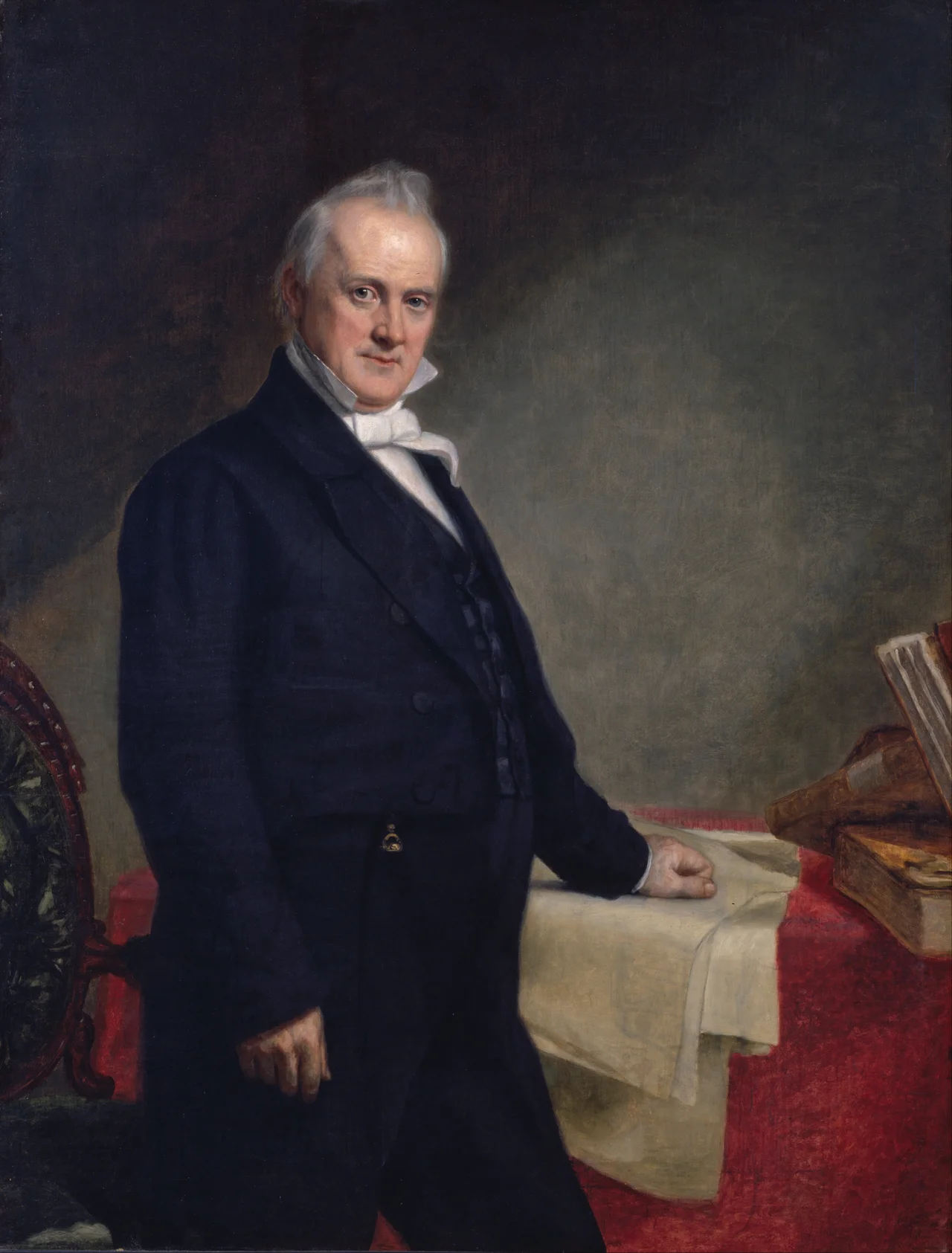
Locals will tell you, gently, that you are saying it wrong. The county is named for James Buchanan, the 15th President of the United States, whose surname rhymes with cannon. But in the mountain country where the Levisa Fork cuts through sandstone and the ridges run high enough to keep out broadcast radio, the same word is pronounced Buh-CAN-nin. It is the kind of small linguistic divergence that happens in places sealed off long enough for the locals to forget that anyone outside cared. Buchanan County is the only county in Virginia that borders both West Virginia and Kentucky, tucked into the rugged Appalachian Plateau in the state's far western corner. Coal is the reason it exists in its current form. Coal is also the reason it has been emptying out for the better part of half a century.
Carved Out of the Frontier
The Virginia General Assembly created Buchanan County in 1858, carving it out of Russell and Tazewell counties to give the residents of these remote hollers a closer courthouse to ride to. President James Buchanan was the namesake - then in office, soon to be vilified by history for failing to prevent the Civil War, but in 1858 still the sitting commander in chief. In 1876 the county chose Grundy as its seat, named for Felix Grundy, a U.S. Senator from Tennessee who had been a friend of Andrew Jackson. Four years later, in 1880, the legislature pulled the southwestern third of Buchanan County away, combined it with parts of Russell and Wise, and made Dickenson County out of the result. What remained of Buchanan stretched 500 square miles along the Levisa Fork and its tributaries, hemmed in by ridges, oriented as much toward the Kentucky border as toward Richmond.
The First Women in the General Assembly
Helen Timmons Henderson, born in 1877, did her serious adult work at the Buchanan Mission School at Council, Virginia - a school the Baptist General Association of Virginia had founded to teach mountain children. In 1923, Henderson and Sarah Lee Fain of Norfolk became the first two women ever elected to the Virginia General Assembly, taking their seats in the House of Delegates as Democrats. Henderson used her position to push for a road - 6.2 miles of improved road from Russell County across Big A Mountain into Council, where the school was. The road was built. What is now Route 80 still runs that route, and is still officially called the Helen Henderson Highway. A woman from a coal county whose own daughters could not have been promised an education built the road that brought the rest of her county closer to the world.
Coal, Then Less Coal
Coal pulled Buchanan County into the modern American economy and then, on its way out, pulled most of the population out behind it. In 1980 the county held around 38,000 people. By the 2020 census, that number was down to 20,355. The county has lost population by double-digit percentages in each successive census for forty years. As of 2012, Buchanan was the fifth-poorest county in Virginia by median household income, and it has consistently stayed in the bottom 5%. The collapse of the metallurgical coal market in the 2000s and 2010s gutted what had been the economic backbone. The hollers that once held company houses now hold abandoned ones. Schools have consolidated and closed. The story is not unique - it is the story of most of central Appalachia - but Buchanan, hemmed in by terrain that makes new industry difficult to attract, has felt it more sharply than most.
The Bet on Education
In the 1990s, a group of local leaders made an unusual bet. Rather than chase the next coal-related project, they would try to build professional schools in Buchanan County - institutions that could anchor the economy with steady employment and graduates who might stay. The Appalachian School of Law opened in 1997 in the former Grundy Junior High School. Six years later, the Appalachian College of Pharmacy was founded at Oakwood in the former Garden High School buildings. Both institutions have had hard years. Both still exist. Together they make Buchanan County, against the odds, a small graduate-education hub in the middle of central Appalachian coal country - lawyers and pharmacists trained where neither lawyers nor pharmacists are easy to recruit, with the explicit mission of going to work in places that need them.
What Remains
The town of Grundy itself was largely rebuilt in the 2000s after persistent flooding finally forced a major Army Corps of Engineers project. The whole downtown was relocated to higher ground. Poplar Gap Park sits near Grundy, and William P. Harris Park is up at Council. The communities of Big Rock, Hurley, Whitewood, and Oakwood string out along the creeks. The Virginia Mountaineer newspaper covers the county. Sutherland's Some Sandy Basin Characters, self-published in 1962, recorded the personalities of the early generation - a book that still circulates among families who remember the names. The mountains around the county still produce coal, in smaller amounts. They also still produce stories. Buchanan County is, as a county judge once put it, a place that the rest of America has trouble locating on a map and that locates itself just fine. The Levisa Fork keeps running. The ridges keep their names. And the locals still pronounce Buchanan their way.
From the Air
Buchanan County sits at 37.27 degrees north, 82.04 degrees west in southwestern Virginia, the only Virginia county to touch both Kentucky and West Virginia. The terrain is rugged Appalachian Plateau - sandstone ridges 1,500-2,500 feet AGL cut by creek valleys. Grundy, the county seat, sits along the Levisa Fork. Nearest airport is Pike County Airport (KPBX) about 20 nm west across the Kentucky line. Tri-State Airport (KHTS) is the nearest commercial field, 75 nm north in Ceredo, West Virginia. Watch for orographic effects and limited landout options.
Nearby Stories
- Matewan Historic District 6.7 km away
- Prestonsburg, Kentucky bus crash 11 km away
- Wise County, Virginia 13 km away
- Alice Lloyd College 23 km away
- Tazewell County, Virginia 25 km away
- Upper Big Branch Mine Disaster 36 km away
- Appalachian League 39 km away
- Emory and Henry University 42 km away