Bahia de Caraquez
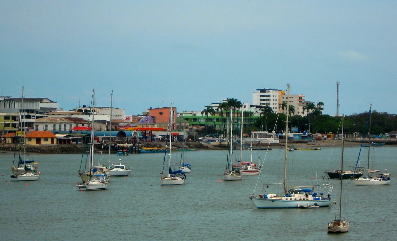
Off the coast of the Ecuadorian peninsula of Manabí, a river meets the Pacific in an estuary full of mangroves. One of the islands in that estuary is shaped, from the air, like a human heart. Bahía de Caráquez sits at the mouth of the Chone River, a resort town small enough that nowhere within it is more than fifteen minutes on foot from anywhere else. It was the first city in Ecuador to declare itself eco-friendly, a commitment that shows in the bicycle taxis that run from the bus station to the downtown for fifty cents. In 1526, a ship was first drawn from this coastline - a Spanish sketch of a balsa-wood trading vessel the size of a European ship. In 2026, replicas of that same vessel sit in the town museum, reminders of what existed here before anything European arrived.
The Ship That Was Sketched in 1526
The first contact between Spanish explorers and an ocean-going civilization of the Ecuadorian coast happened on the water, not on shore. Francisco Pizarro's exploratory ships, under the captaincy of Bartolomé Ruiz, encountered a balsa-wood trading vessel off this coast in 1526. The Samano Account - one of the first manuscripts of the conquest - describes what they saw in careful detail: a ship that seemed to hold up to 30 tonnes; a hull made of canes thick as posts, tied with rope made from something like hemp; masts and antennas of very fine wood; sails as large as those on European ships. The high parts of the vessel were where the people traveled and where the trade goods were stowed, to keep them dry. The vessel belonged to the Manteño culture - the most maritime people of the entire west coast of South America. They had traded up and down the Pacific for thousands of years, carrying the red thorny oyster called Spondylus - a sacred shell that existed mostly in Ecuadorian waters - in exchange for gold, turquoise, and lapis lazuli. A balsa-wood replica of that vessel now sits in the Bahía de Caráquez Museum.
The Chirije Dig and Its Three Sources
On a hill south of town, the Chirije Museum is built over an active archaeological site - one of the richest on the Ecuadorian coast. The museum organizes its collection into three categories, reflecting three ways objects have entered the record. The first category holds pieces recovered by archaeologists in controlled excavations, cataloged and contextualized. The second contains objects found by the staff on the surface of the ground over years of work. The third, more unusual, contains pieces found by travelers combing the adjacent beach - ceramic fragments and small artifacts that the tide brings up and that the museum accepts when visitors turn them in. The arrangement acknowledges that the past here is not neatly buried. Sand and water cycle through objects. The area was a Manteño population center for centuries, and the ground still yields evidence.
Isla Corazón, The Heart-Shaped Island
Isla Corazón - Heart Island - sits in the Chone River estuary, a naturally heart-shaped mangrove island that is also a National Wildlife Refuge and National Heritage Site. One of the Pacific's largest colonies of magnificent frigate birds nests here. During mating season, male frigate birds inflate the bright red gular sac on their throats into a balloon the size of a man's head and make rapid clicking calls - a display at once comical and evolutionary. Local fishermen expanded the island's mangrove coverage through restoration work over the past two decades; they now offer canoe-led tours through the mangrove ecosystem. Tours depart from Puerto Portovelo, a small village on the north side of the Chone River, reached from Bahía by boat taxi across the estuary to San Vicente, then by bus or taxi seven kilometers up the road. The bus costs about thirty cents; the boat taxi to the island is cheap. The guides are the fishermen themselves, whose knowledge of the mangrove, the birds, and the crabs that live in the roots is the kind of local expertise no commercial operator can replicate.
Getting There, Getting Around
Bahía de Caráquez is eight hours from Quito by bus, six from Guayaquil, five by the southern route via Jipijapa and Portoviejo - the capital of Manabí province. From Quito, the only direct company is Reina del Camino, which runs executive buses (more comfortable, security-screened, with air conditioning strong enough to warrant a sweater) and regular services, both day and night. The town can also be reached by boat: a passenger ferry from San Vicente costs thirty cents for a ten-minute ride. A free vehicle ferry crosses the same estuary. Around town, walking works for most errands. The Bahía eco-city identity shows in the fleet of bicycle taxis that cost fifty cents per trip to the beaches or downtown. Normal car taxis charge about a dollar to cross town. One main bus route runs through the urban area for eighteen cents regardless of distance. For travelers with motion sickness, the winding mountain descents on the highway from Quito are worth remembering; booking a right-side seat on the day bus offers the best scenery.
Paragliding, Surfing, and Rio Muchacho
While many weekend visitors head north to Canoa for its surf and nightlife, Bahía's activities stretch wider. The cliffs near Canoa offer paragliding on reliable coastal thermals. Birdwatching on Isla Corazón anchors the wildlife tourism. Surfing works at Canoa's beach breaks. And inland from the coast, Rio Muchacho Organic Farm offers one-to-three-day stays that have become a template for Ecuadorian agritourism. The farm's activities include horseback rides to howler monkey forest and waterfall, making chocolate and coffee from the bean, crafting necklaces and bowls and rings from natural materials, and volunteer programs on the farm itself or at its eco-schools for children in the surrounding communities. The farm also runs an office in Bahía that sells fair-trade goods. This layering - coast, estuary, rainforest, farm - within a small geographic radius explains why travelers linger in Bahía longer than the town's size would suggest.
From the Air
Coordinates: 0.60°S, 80.42°W. Elevation near sea level. Recommended viewing altitude: FL180-FL240. Nearest airport: SEMT (Manta - Eloy Alfaro International), SEGU (Guayaquil) for southern connections. The Chone River estuary is the defining landmark, with Isla Corazón visible as a heart-shaped mangrove island in the center. The peninsula extends northwestward; the Pacific horizon lies to the west. Morning haze common; clearest visibility in Ecuador's dry season (June-November).
Nearby Stories
- Portoviejo 24 km away
- Western Ecuador Moist Forests 31 km away
- Jama-Coaque Ecological Reserve 35 km away
- Buena Fe Canton 47 km away
- Jatun Sacha Foundation 78 km away
- Salinas (Ecuador) 178 km away
- Malpelo Plate 401 km away