Baixada Maranhense Environmental Protection Area
For half the year the Baixada Maranhense is a landscape of islands. Between December and July, when the rains come heavy and steady across the northeast of Brazil, the clay soils of this enormous lowland saturate and then flood. Roads become causeways. Pastures become lakes. Houses on stilts that looked eccentric in November look sensible by February. And through it all, water buffalo - descendants of Asian stock that adapted improbably well to this floodplain - move through the drowned fields in long dark lines, pulling carts or simply wading to graze on whatever green rises above the water.
A Wetland the Size of a Country
At 1,775,035 hectares - roughly 17,750 square kilometers - the Baixada Maranhense Environmental Protection Area is one of the largest protected wetlands in the Americas. It spreads across 32 municipalities in the state of Maranhão, from Alcântara and the coast eastward toward Arari, Pinheiro, Santa Inês, and all the way to São Luís. The name means, literally, 'Maranhense Lowland.' Designated a Ramsar Site in 2000 - an international recognition of wetlands of global importance - the protected area sits in a transition zone where the Amazon rainforest meets the Cerrado savanna, with coastal mangrove influence along its northern edge. The result is a biodiversity mosaic: Amazonian trees, savanna grasslands, and salt-marsh mangroves all within a day's walk of each other.
The Logic of Flood and Drought
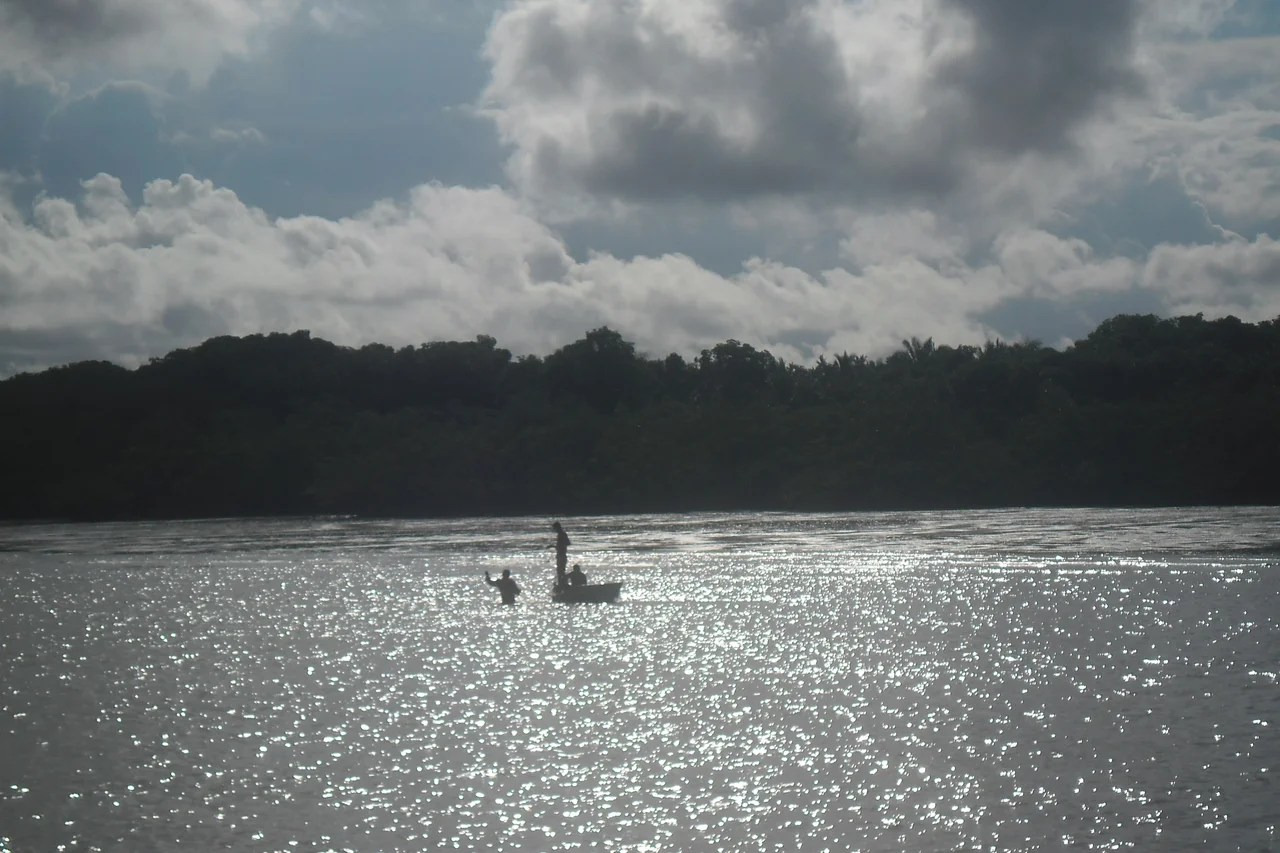
The clay soils of the baixada hold water the way a sponge holds water: poorly on the surface, then all at once. During the dry season, the landscape is scorched pasture, dust rising from dirt roads, cattle grazing under babassu palms. As the rains arrive, the low fields fill first, leaving 'tesos' - small islands of firmer ground where houses, chapels, and cemeteries cluster. By mid-rainy season, movement across the landscape becomes a question of boats, not cars. Fishermen who worked cassava fields in October are pulling fish traps in February. The cycle repeats, year after year, and the Maranhense rural economy has organized itself around the rhythm for centuries - rice on the fields in the wet season, buffaloes in the meadows, fish from the flooded flats.
Buffalo, Birds, and Manatees
Water buffaloes are the signature animal of the baixada, but they are just one thread in the wildlife tapestry. Threatened species here include the West Indian manatee, which still finds enough undisturbed riverine habitat to survive. Pearly parakeets flash green in the Amazon-edge forests. Bearded bellbirds call from the canopy, their metallic clang carrying for kilometers. Wattled jacanas walk across floating vegetation on absurdly long toes. In the rainy season, the wetlands become a stopover for migratory birds: great egrets, ringed kingfishers, whistling ducks, Neotropic cormorants, the electric-blue blue dacnis. Howler monkeys call at dawn from forest islands. Raccoons, pacas, anteaters, peccaries, and deer move through the drier uplands. Fish species sustain both commercial and subsistence fishing: the surubim catfish, the curimatã, the snook.
People on the Lowland
The human population of the baixada includes indigenous peoples and remnants of quilombo communities - settlements founded by Afro-Brazilians who escaped or outlasted slavery and built self-governing villages in the more defensible parts of the lowland. These traditional families fish, cultivate rice, and breed buffalo. Their livelihoods are built into the wetland's cycles, and their ecological knowledge has been shaping this landscape for generations. The Ordnance 66 of November 5, 2012 designated 56,386 hectares to SEMA/MA as a sustainable-use conservation unit, formally recognizing that the lowland's traditional population is part of what the protected area exists to sustain. A visitors' center was promised in that ordinance, though progress has been slow.
Fragile Protections, Real Threats
On paper the Baixada Maranhense APA has robust legal standing. In practice, enforcement is thin. The state decree that created the area in 1991 aimed to regulate land use, natural resource exploitation, fishing, hunting, and buffalo breeding - all to preserve biological integrity, water quality, and refuges for migratory birds. But surveillance is limited. Predatory hunting of wattled jacanas and American purple gallinules continues. Fish farming tanks are being built in sensitive wetlands. Solid waste accumulates in flooded channels. Climate change, which is shifting the timing and intensity of the rainy season, complicates everything further. The baixada has always lived at the edge of wet and dry; what happens when that edge becomes unpredictable is a question being answered right now, year by increasingly strange year.
From the Air
Located at 2.84°S, 44.81°W at near sea level, the Baixada Maranhense Environmental Protection Area spans 32 municipalities across northwestern Maranhão - a vast flat lowland extending from São Luís westward. The closest major airport is São Luís - Marechal Cunha Machado International (SBSL), at the northeastern edge of the protected area. Smaller airports include Pinheiro's airfield near the center of the baixada. From cruising altitude, the wet-season baixada shows as a bright network of reflective water surfaces interspersed with green islands of firmer ground; the dry season reveals the channels and oxbow lakes as dark scars on the pale landscape. The ecological transition between Amazon rainforest (southwest) and coastal mangroves (north) is visible as a color gradient in good light.
Nearby Stories
- Bacanga State Park 5.6 km away
- Munim River 29 km away
- Porto do Itaqui 52 km away
- Santa Inês 56 km away
- Chapada Limpa Extractive Reserve 122 km away
- Parnaíba Thermal Power Complex 192 km away
- São Miguel do Guamá 262 km away
- Maranhão 366 km away