Bacanga State Park
Water does not arrive in São Luís by accident. Most of the 30 percent of São Luís Island that drinks from a single reservoir - the Batatã - does so because of a patch of rainforest that almost nobody visits, stuck between the city's industrial district and a wall of informal neighborhoods creeping inward. The Bacanga State Park is 2,634 hectares of fragmented Amazon remnant and tidal mangrove, and it exists because natural springs here feed the dam that feeds the taps. When the park is healthy, the city has water. When the park is not, the city does not. That arithmetic has been understood for decades. It has not, however, been respected.
An Industrial Ruin in the Forest
Walk far enough into the park and you stumble onto the Sítio do Físico - about 1,600 square meters of crumbling tanneries, furnaces, tanks, and warehouses from one of the most important industrial complexes in Maranhão during the early 19th century. Leather was tanned here using tannin extracted from the surrounding mangrove forests, and the nearby mangroves were stripped to feed the vats. The ruins are listed for preservation by the Brazilian Institute of Cultural Heritage (IBPC), a small recognition that this patch of jungle was once the beating heart of an export economy. Today the vats are full of leaf litter and the furnaces house bats. Lianas grow through the walls. It is an Ozymandias scene on a Maranhense scale - a reminder that the Amazon always reclaims what industry abandons.
Why a City Needs a Forest
The Batatã reservoir sits in the eastern portion of the park, just west of Marechal Cunha Machado International Airport. The natural springs that feed it rise out of laterite soils beneath the forest canopy. Strip the canopy and the springs fail. The park also helps recharge aquifers that lie beneath the city itself, an invisible service that reveals itself only when it stops working. The state recognized this in 1980, when Decree 7.545 created the park on March 7, 1980, originally covering about 3,075 hectares. The Secretariat of State for Natural Resources, Technology and Environment (SERNAT) shared management with the water authority, CAEMA. But the decree included a loophole: park boundaries could be redefined to exclude areas 'irreversibly occupied.' What was meant as a pragmatic accommodation became, in practice, a mechanism for gradual shrinkage.
A Slow Loss
The numbers tell the story. In 1995, satellite imagery showed forest coverage inside the park at around 85 percent - a respectable figure for a protected area hemmed in by a growing city. By 2004, overall forest had dropped to about 80 percent. Mangrove coverage had fallen from 17 percent to less than 11. Tall, high-canopy forest had shrunk from about 31 percent to under 23. Low, degraded forest had risen from 26 to 35 percent - the signature of a landscape being cut and allowed to regrow in poorer form. The park's surface water, mostly the reservoir itself, dropped from 4.3 percent to 3.3 percent of the area. By 2003 the reservoir was nearly empty during dry periods. Around the edges, the area's population had exploded from 18,240 in 1991 to 60,564 in 2001 - demographic pressure with no buffer zone to absorb it.
The Settlements Inside
In 2001, surveyors found 747 people living inside the park boundary. They had built houses, cleared patches for agriculture, and practiced the kind of subsistence farming that in other contexts would be considered traditional but here was simply rural poverty pressed into a conservation unit. The agencies responsible - SEMA and CAEMA - did little to manage the situation. On April 24, 1984, the park was quietly redrawn to cover 2,971 hectares, acknowledging houses that had already been built. On December 14, 2001, another 331 hectares of occupied land was excluded. Each reduction was framed as legal tidying-up. Each one permanently removed forest from protection. The people inside the park are not villains of the story - they are people without housing options, doing what people without options do. But the cumulative result has been a slow erosion of exactly the canopy the city needs for its water.
A Fragile Green
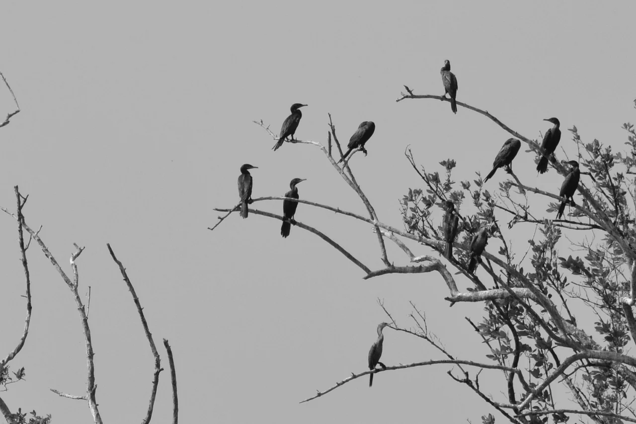
The park's remaining forest is a remnant of the transition zone between Amazon rainforest and coastal mangroves - a biome that once covered much of this island and now survives mostly in patches like this one. Eletronorte power lines cross the park north to south, their maintenance corridors opening new gaps every few years. Fires flare in the dry season on the fragile laterite soils. Illegal logging and sand extraction continue. Garbage accumulates in the ravines. And yet the forest holds, just barely, producing the water the city drinks. Viewed from the air on the approach to São Luís's airport, Bacanga is a clear dark shape in an otherwise urbanized landscape - an island inside an island inside the larger delta. It will hold as long as the city decides it must. It is a story being written still, and the ending has not yet been chosen.
From the Air
Located at 2.59°S, 44.27°W, Bacanga State Park lies just south of the city of São Luís on São Luís Island, immediately west of Marechal Cunha Machado International Airport (SBSL). The park spans 2,634 hectares of mostly flat, low-elevation terrain dissected by the Bacanga River. From approach or departure out of SBSL, the park is clearly visible as a dark green block contrasting with surrounding urban development. Low-altitude views reveal the Batatã Reservoir in the park's eastern portion. Alcântara's airport (SBAL) lies about 30 kilometers northwest across São Marcos Bay. The park's proximity to the airport means it is regularly overflown on approaches from the south and east.
Nearby Stories
- Baixada Maranhense Environmental Protection Area 19 km away
- Metal Open Air 33 km away
- Lençóis Maranhenses 53 km away
- Ilha de Santana Lighthouse 55 km away
- Maranhão mangroves 74 km away
- Chapada Limpa Extractive Reserve 126 km away
- Santa Inês 149 km away
- German submarine U-164 (1941) 471 km away