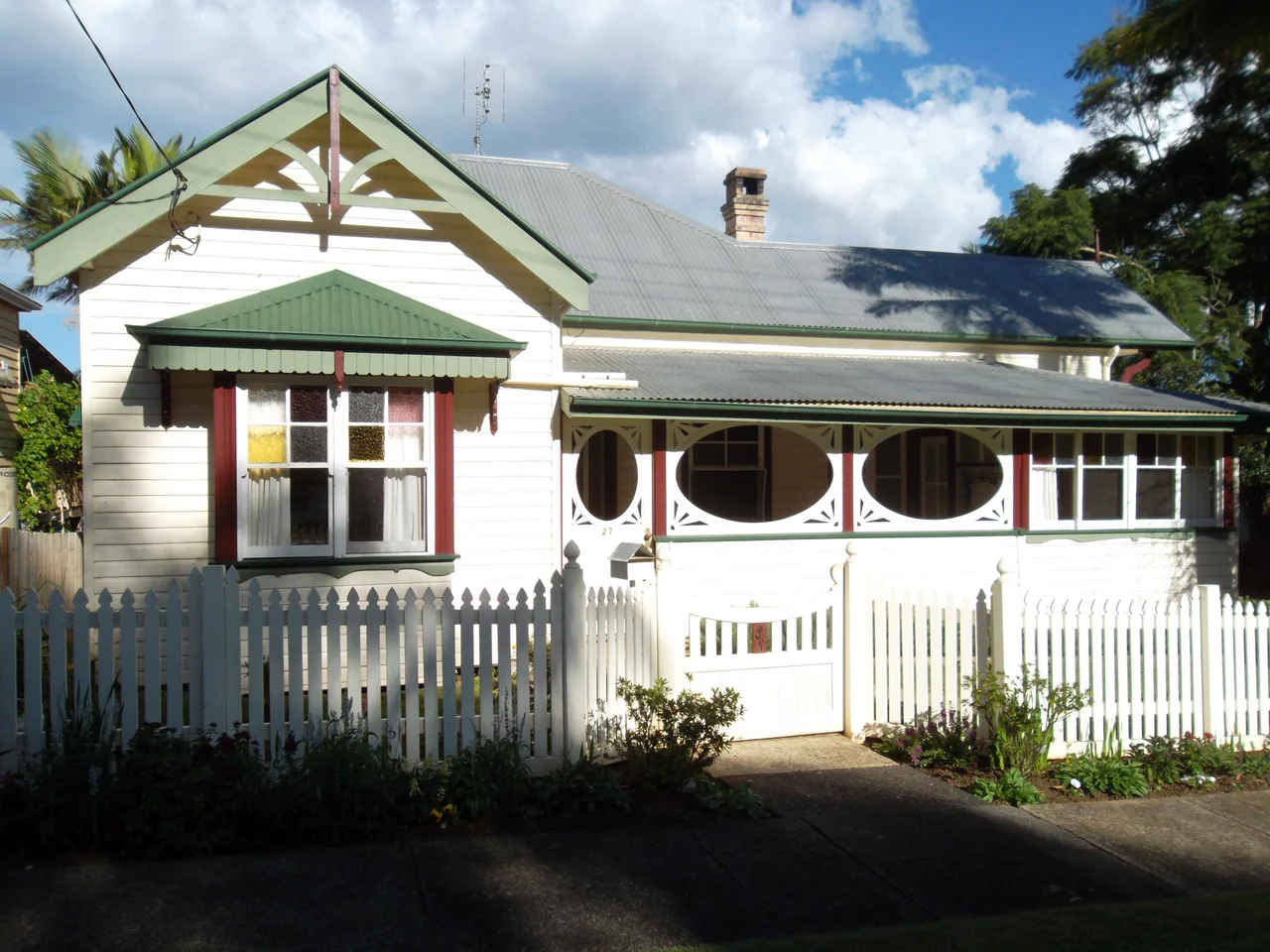

Bangalow
For a few odd years in the 1890s, this little town in the hills behind Byron Bay was named after an Irish pirate. Settlers of Irish descent called the place Granuaile, after Grace O'Malley, the sixteenth-century sea captain and clan chief who supposedly negotiated as an equal with Queen Elizabeth I. The name stuck to the railway station and a local pub before the town thought better of it and went back to Bangalow in 1894. The original name was older and quieter: a Bundjalung word, bangalla, from the Wibadhabi dialect, taken to mean a low hill, or a kind of palm. Both names suit the town, which sits on a low green rise on Bundjalung country and has the slightly theatrical charm of a place that knows it is pretty.
A Street Frozen in Time
Bangalow's main street is its fortune. A row of timber and brick shopfronts, verandahs shading the footpath, the whole thing looking very much as it did a century ago, it is the kind of streetscape that film crews and weekend visitors prize. The town grew up here in the 1880s, after timber cutters had worked a camp on the banks of Byron Creek since the 1840s. Many of its heritage buildings still stand and can be traced on a self-guided walk: the Bangalow A & I Hall of 1911, the police station and courthouse of 1905 and 1909, the public school whose oldest brick block dates to 1925. The buildings are not relics behind glass. They are still in use, which is what keeps the place feeling alive rather than embalmed.
Butter Country
The lush hills around Bangalow were not always so ornamental. Once the great cedar trees were gone, the cleared land turned to dairy, and by the turn of the twentieth century this was serious butter country. A cooperative butter factory was established here in 1893, processing cream from the surrounding farms and turning the district into one of the Richmond River region's important butter producers. That dairy economy shaped the town: the substantial public buildings, the showground, the agricultural hall all speak of a confident farming community. The cows are fewer now, the green hills increasingly given over to lifestyle blocks and tourism, but the pastoral landscape that made the town wealthy is still the thing visitors come to admire.
A Hall That Did Everything
If one building tells Bangalow's story, it is the A & I Hall. Built in 1911 for the annual Agricultural and Industrial show, it spent the next century being whatever the town needed. It served as a cinema. It became a makeshift hospital during the 1919 influenza pandemic, when the so-called Spanish flu reached even these quiet hills. In wartime it was where the town gathered to farewell its soldiers and, with luck, to welcome them home. By the late twentieth century it had fallen into disuse and nearly faced demolition, until a major restoration between 1991 and 1994 brought it back. It reopened on 11 June 1994 and remains the town's beating civic heart.
Markets, Billycarts and a Pirate's Hotel
Bangalow runs on its gatherings. The Bangalow Farmers' Market fills Saturday mornings with local producers and has done since 2004, while the monthly Bangalow Markets at the showground have drawn crowds since 1982. The town's most beloved oddity is the Billycart Derby, run since 1994, when homemade carts hurtle down the main street to the delight of a packed crowd. Even the pub carries the town's split identity: the Granuaille Hotel of 1891 burned down in 1939 and was rebuilt as the Bangalow Hotel, keeping the pirate queen's name alive in spelling even after the town dropped it. For all its boutique polish, Bangalow still behaves like a country town that throws a good party.
From the Air
Bangalow lies in the Byron Bay hinterland of north-eastern New South Wales at 28.682°S, 153.518°E, set on a low rise about 12 km inland from the coast and just off the Pacific Highway. From the air the landmark is the green, rumpled dairy country of the Byron hinterland, with the small grid of the village tucked among the hills and Byron Creek running nearby. Cape Byron and the lighthouse on the easternmost point of the Australian mainland are visible to the north-east. Ballina Byron Gateway Airport (ICAO YBNA) is about 18 km south-east; Gold Coast Airport (YBCG) is roughly 70 km north. Best viewed from 1,500-3,000 ft on a clear morning; the hinterland ranges to the west generate cloud and afternoon showers in the warmer months.
Nearby Stories
- Uki, New South Wales 14 km away
- History of New Italy, New South Wales 23 km away
- Spicers Gap Road 67 km away
- Washpool National Park 70 km away
- Bald Rock National Park 87 km away
- HMS Porpoise (1799) 712 km away
- Wreck Reefs 742 km away
- SS Elingamite: Gold, Fog, and a Captain Wrongly Blamed 1801 km away