.jpg)
Bass Lake
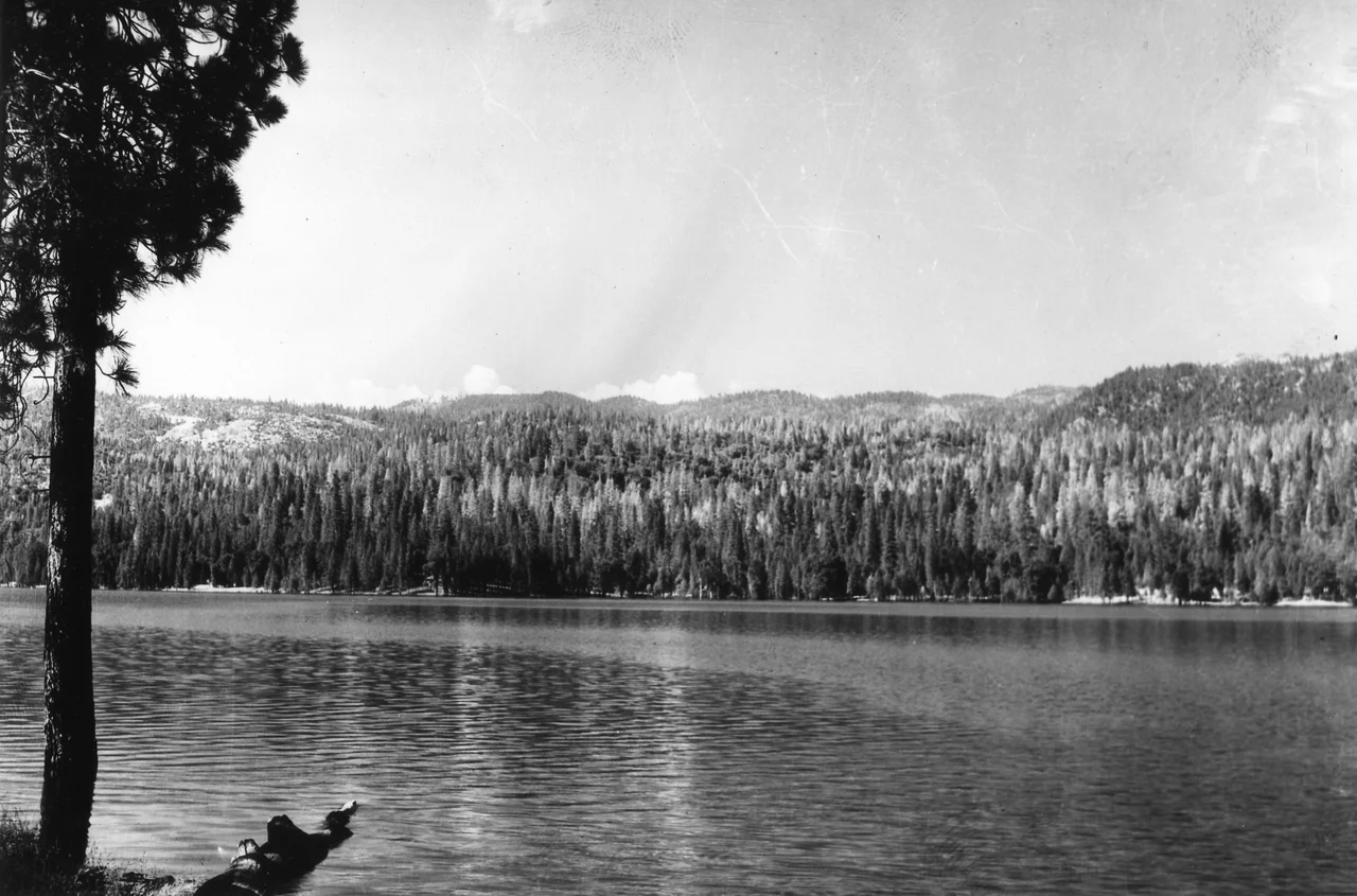
The settlers who arrived in the 1850s called it Crane Valley, having mistaken the great blue herons stalking the shallows for cranes. The fish they later introduced -- largemouth bass, thriving beyond anyone's expectations -- replaced that borrowed name with the one that stuck. Bass Lake sits at 3,370 feet on the western slope of the Sierra Nevada in Madera County, fourteen miles south of Yosemite's entrance, a reservoir that has been reinvented so many times its shoreline reads like a layered manuscript: indigenous homeland, lumber camp, hydroelectric project, biker rally ground, Hollywood backlot, and summer getaway for half a million visitors a year.
The Mono and the Mountain They Lost
The Mono people lived in the Bass Lake basin long before any dam or sawmill reshaped it. Their displacement came violently during the Mariposa War of 1851, when a battle near Goat Mountain killed Chief Jose Ray -- the site was called Battle Mountain for decades before the name was softened. Some Mono families stayed on after the war, but a quieter dispossession followed. When the Sierra National Forest was established in 1897, land-use permits for grazing, timber cutting, and building were restricted to United States citizens. Native Americans were not citizens. The Indian Citizenship Act of 1924 finally extended that right, but by then most Mono families had already been pushed out. The bureaucratic exclusion had done what the battle could not quite finish.
Sawmills, Dams, and a Doomed Railroad
The first sawmill in the area went up in 1854 at the base of Willow Creek falls, built by Charles P. Converse and Bill Chitiser -- the first lumber mill in what would become Madera County. Logging cleared the Crane Valley basin, and the cleared land became ranches, then farms, then the floor of a reservoir. Crane Valley Dam, originally built for hydroelectric power, was raised in 1905 and again in 1910 to its current height of 145 feet. In the 1920s, the Sugar Pine Lumber Company made the town of Wishon its headquarters and laid a rail line stretching twelve miles to its main logging camp at Central Camp. The grades ran as steep as 4.5 percent, worked by a specially built saddle-tank locomotive. The railroad never turned a profit. In its last two years it ran briefly as a tourist excursion line from Pinedale before shutting down in 1931, a monument to ambition that the economics of mountain logging could not sustain.
Thompson, the Angels, and a Summer of Waiting
By the 1960s, Bass Lake had become a regular stop on the Hells Angels' annual run circuit. The July 1965 gathering drew national attention -- and national anxiety. Madera County officials secured a court injunction and set up roadblocks. Law enforcement photographed incoming riders and issued warnings. Newsweek and Life magazine sent reporters. Among them was Hunter S. Thompson, who devoted an entire chapter to the Bass Lake run in his book on the motorcycle club. What actually happened was anticlimactic: minor arrests for public intoxication, no major violence. Thompson credited the local businesses that served the riders -- selling them beer and food rather than turning them away -- as a moderating force. The runs continued through the 1970s before fading, but they left Bass Lake with an unexpected footnote in the history of American counterculture.
Hollywood's Stand-In for Everywhere Else
Bass Lake has a quiet career in film. In 1931, RKO used the Sugar Pine Lumber Company operations on the eastern shore as a backdrop for Carnival Boat. The 1945 film Leave Her to Heaven, a Technicolor noir starring Gene Tierney, used Bass Lake to stand in for a lake in Maine -- an impressive act of geographic impersonation for a reservoir in the Sierra Nevada. Decades later, in 1987, John Candy and Dan Aykroyd filmed The Great Outdoors at Ducey's Bass Lake Lodge on the north shore. The lodge itself has its own story of reinvention: built in 1941, destroyed by fire in 1988, and rebuilt. Nearby, The Pines Resort dates back to 1901, making it older than the reservoir it now overlooks. On the south shore, The Forks Resort has been welcoming guests since 1927. These establishments survived fires, economic downturns, and the fickleness of vacation trends.
Beetles, Drought, and the Fires That Followed
The ponderosa pines that once framed every view of Bass Lake have been under assault. Mountain and western pine beetles, thriving in drought-weakened trees, killed vast numbers of pines across the surrounding Sierra National Forest. From 2011 to 2020, prolonged drought, beetle infestations, and wildfire worked in combination, stripping hillsides that had been forested for generations. The 2014 Courtney Fire was particularly devastating, destroying most trees within its 80-acre perimeter from Bass Lake Heights down to the water's edge. Mono winds -- powerful downslope events occurring mostly between October and April -- compound the risk, toppling weakened trees and fanning flames. A January 2021 storm felled hundreds of trees and damaged structures around the lake. Today, Bass Lake's community of 575 year-round residents lives with the knowledge that the landscape around them is changing faster than it has in living memory, shaped by forces that a reservoir and a few resorts cannot control.
From the Air
Located at 37.32N, 119.57W at 3,370 feet elevation on the western slope of the Sierra Nevada in Madera County. The reservoir is clearly visible from altitude as an elongated body of water bounded by Malum Ridge (south), Graham Mountain at 6,090 feet (northeast), and Goat Mountain at approximately 4,975 feet (west). The former Wishon airstrip on the western shore is now housing but its cleared footprint may be faintly visible. Sierra National Forest blankets the surrounding terrain. The nearest active airports include Mariposa-Yosemite Airport (KMPI) approximately 20 miles northwest and Fresno Yosemite International Airport (KFAT) about 35 miles southwest. Yosemite National Park's south entrance lies 14 miles to the north.
Nearby Stories
- Henness Ridge Fire Lookout 2.7 km away
- Lake McClure 5.1 km away
- The Lake That Swallowed a Town 7 km away
- California Central Valley Grasslands 12 km away
- The Lodge That Outlasted the Gold 16 km away
- Mono Lake: Where Salt Towers Rise From Dying Water 45 km away
- Mono Lake 75 km away
- Sequoia: Standing Among the Largest Living Things on Earth 87 km away