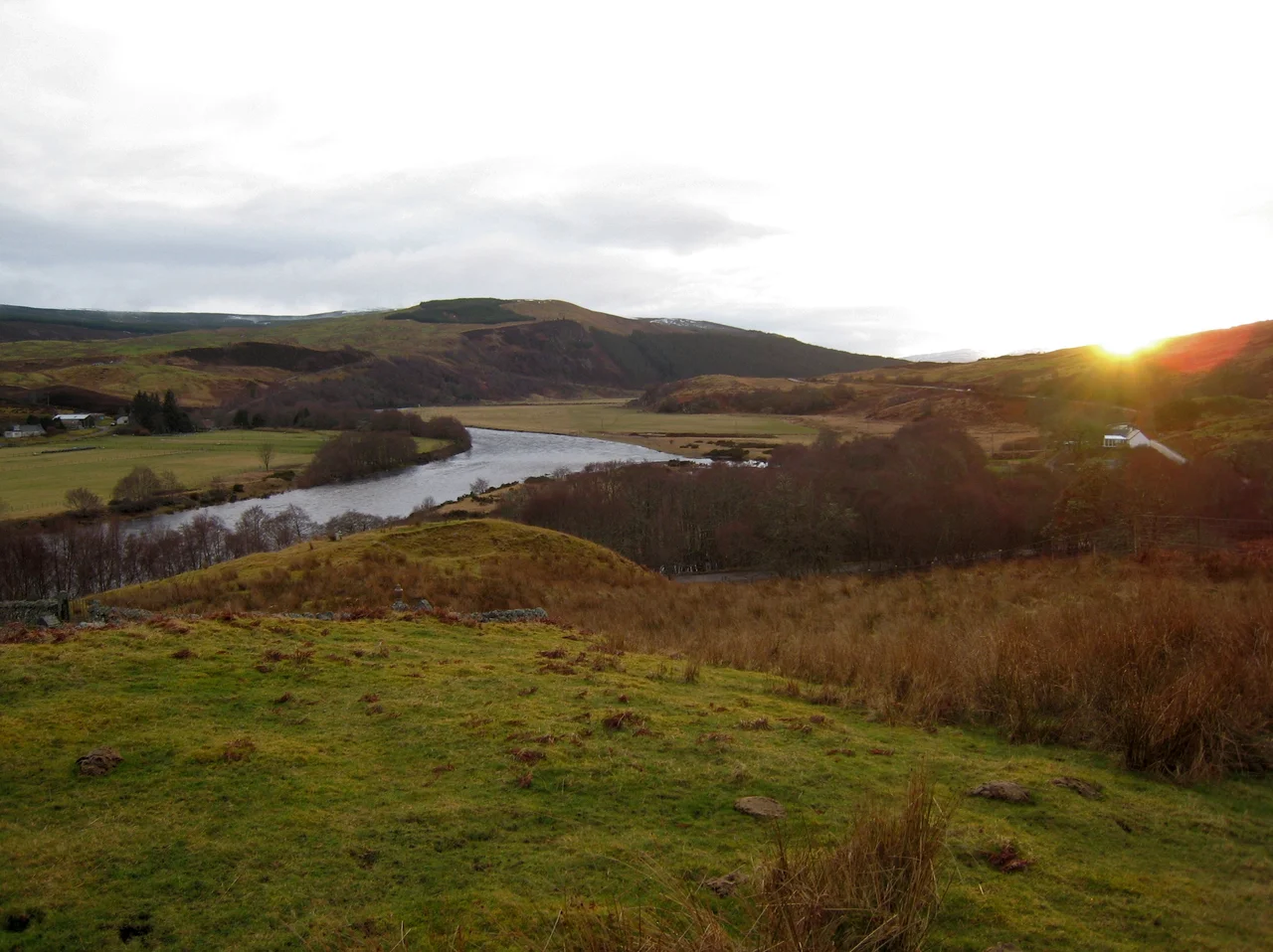

Battle of Tuiteam Tarbhach
One MacLeod made it home. That is the part of the story everyone remembers. He crossed the Highlands wounded, reached Lewis, reported the disaster to his clan, and died of his injuries. Behind him on the slopes above the Tutim Burn lay the bodies of every man who had ridden out with him from MacLeod country to settle a family quarrel by force. The Battle of Tuiteam Tarbhach is one of those small, savage clan engagements that left no monuments and barely a footnote in larger histories, but in 1406 it was the kind of day that decided who would rule a region for the next two centuries.
A Quarrel Across the Highlands
The dispute began as a domestic matter. Sidheag, sister of Roderick MacLeod, chief of the MacLeods of Lewis, had been married to Angus Mackay. When Angus died, he left his brother Hugh - known as Black Hugh, Uistean Dow - as tutor for his two young sons. By 1406 Sidheag was at odds with Hugh, and when word of the trouble reached her brother on Lewis, Roderick decided to resolve it the way Highland chiefs typically resolved such things. He sent a war party across the mountains under his own brother, Malcolm MacLeod, with orders to raid the Reay Country, the Mackay lands that ran north toward the Caithness border. The raid succeeded; the MacLeods rounded up cattle and plunder; and then they turned for home along the only practical route west, which followed the River Oykel and the Kyle of Sutherland.
The Tutim Burn
The Oykel and the Kyle of Sutherland together form one of the great east-west arteries of the northern Highlands, slicing across from Dornoch on the east coast almost to Ullapool in the west. The river was the traditional boundary between Sutherland to the north and Ross to the south, and it was the obvious road home for a column burdened with stolen cattle and goods. Hugh Mackay and his Sutherland allies caught up with them at the Tutim Burn, a tributary on the south side. He tried first to recover his property; according to the chroniclers, he wanted no battle if the cattle could simply be returned. The MacLeods refused. What followed was described as a long, furious, cruel, and doubtful fight, rather desperate than resolute, and at the end of it the MacLeod war band was dead almost to a man. Only the wounded survivor who reached Lewis carried the news home.
What Came After
Hugh Mackay died two years later, and the chieftainship passed to his nephew Angus Dow - one of the sons he had been tutor to - and Angus Dow proved to be exactly the sort of leader a clan needs after a fight like this. He survived defeat by Donald, Lord of the Isles, at the Battle of Dingwall in 1411. He kept the clan together. By 1427 he was important enough that James I summoned him to a parliament in Inverness, where the king promptly arrested the assembled chiefs. At his height, the Scotichronicon credits him with 4,000 men under his command, and a nickname to match: Enneas-en-Imprissi, Angus the Absolute. He is regarded today as the ancestor of all the later Mackay chiefs. The battle at Tutim Burn, in other words, did not just end one raid. It set up the dynasty.
What Remains
There is not much to see now. Cairns once marked the battlefield, piles of stones set up by survivors and successors in the way Highland dead were memorialised long before grave-slabs reached this country. The stones were carried off over the years to build dry-stone walls in the surrounding fields. A cemetery was later laid out on the hillside east of the battle site, and local legend holds that the cairns ended up in the cemetery wall itself, which is a quietly fitting reuse. The A837 road runs through the ground where the fighting took place. Drive west toward Lochinver and you cross it without noticing, the way you cross most of medieval Scotland, on tarmac laid over old violence and longer memory.
From the Air
Located at 57.98 N, 4.65 W on the south side of the Kyle of Sutherland, near the modern A837 road. Inverness Airport (EGPE) is roughly 27 nm south-southeast, the nearest major ICAO field. The battlefield lies in the broad east-west valley of the Oykel and Kyle of Sutherland, an obvious linear feature on the chart that splits Sutherland from Ross. Best viewing 2,000-4,000 ft AGL: the kyle itself, the wooded slopes above the Tutim Burn, and Bonar Bridge to the east frame the landscape. Watch for terrain in the mountains rising rapidly to the west and south.
Nearby Stories
- Cape Wrath Trail 6 km away
- Skibo Castle 7.3 km away
- Stoer Head Lighthouse 9.8 km away
- Fortrose Cathedral 9.9 km away
- Achiltibuie 12 km away
- Castle Leod 14 km away
- Assynt 18 km away
- Caithness and Sutherland Peatlands 22 km away