Where the Mangroves Stand Thirty Meters Tall
From the air, Bintuni Bay looks like a green labyrinth poured into the sea. Channels branch and rebranch through 300,000 hectares of mangrove forest, the waterways so tangled that the line between land and ocean dissolves entirely. This is the inner bay of the Berau Gulf, tucked into the hinge where New Guinea's Bird's Head Peninsula meets the Bomberai coast. Where most mangrove forests are thin coastal fringes, Bintuni's mangroves fill an entire bay -- 160 kilometers long, 70 kilometers wide at the mouth -- with trees that grow undisturbed to heights of 30 meters, among the tallest mangrove stands anywhere on the planet.
A Forest Between Tides
Mangroves occupy the ambiguous zone between saltwater and fresh, between solid ground and open sea. In Bintuni Bay, that zone is vast. More than 30 species of mangrove have been recorded here, their stilt roots and pneumatophores creating a three-dimensional maze that extends from the mudflats out to ten meters of water depth -- adding another 600,000 hectares of submerged forest habitat. The trees stabilize the coastline against erosion, buffer storms, and filter sediment from rivers draining the peninsula's interior. They also function as one of the most efficient carbon sinks in the tropics, locking atmospheric carbon into woody biomass and waterlogged soil at rates that outpace most terrestrial forests. Bintuni Bay is the second-largest contiguous mangrove system in the world, surpassed only by the Sundarbans straddling India and Bangladesh.
Nursery of the Coral Triangle
The ecological importance of Bintuni Bay extends far beyond its trees. The mangrove root systems serve as nursery habitat for fish, crustaceans, and marine invertebrates that later disperse into the wider Coral Triangle -- the most biodiverse marine region on Earth. Researchers have documented 103 bird species from 40 families working the canopy and tidal flats, alongside nine reptile species and seven mammal species. Among the mammals is the Australian humpback dolphin, listed as Vulnerable by the IUCN. Bintuni Bay is one of only three locations in West Papua where these dolphins have been confirmed, making the bay a critical refuge for a species whose range across the Indo-Pacific is poorly understood. The channels and seagrass beds fringing the mangroves provide the calm, productive waters the dolphins depend on for feeding and calving.
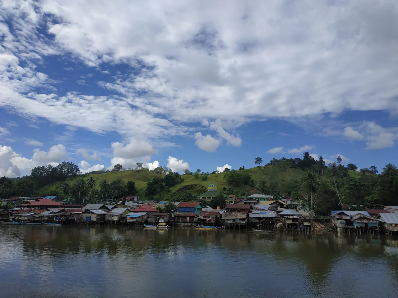
Living With the Forest
For the indigenous Papuan communities around the bay, the mangroves are not wilderness -- they are livelihood. Fishing, crab harvesting, and the collection of non-timber forest products have sustained settlements here for generations. The relationship is not always harmonious. Commercial logging concessions have operated in parts of the mangrove belt, harvesting timber on 30-year rotation cycles that researchers continue to study for their long-term effects on forest structure and biodiversity. The Bintuni Bay Nature Reserve, covering 1,248 square kilometers of mangrove wetland in the bay's northeastern section, offers formal protection, but the boundaries of a reserve mean little to tidal ecosystems that function as a continuous whole. Conservation here depends less on drawing lines on maps than on managing the human activities -- fishing, logging, gas extraction -- that operate within and around the forest.
Industry at the Forest's Edge
The bay's significance is not only ecological. Beneath its waters lie the gas reservoirs of the Tangguh field, one of the largest natural gas projects in the Asia-Pacific, operated by BP. The LNG processing plant sits on the bay's southern shore, its flare stacks visible for miles across the flat mangrove canopy. The juxtaposition is stark: an industrial facility producing 11.4 million tons of liquefied natural gas per year, surrounded by one of the most pristine coastal forests in Indonesia. The tension between extraction and preservation plays out in social management agreements negotiated with local clans whose fishing grounds overlap with pipeline corridors and platform exclusion zones. Revenue-sharing mechanisms replace one-off compensation payments, attempting to convert a loss of access into a long-term income stream. Whether that exchange holds over decades remains an open question.
The View From Above
Approaching Bintuni Bay from the northwest, the transition is unmistakable. The rugged limestone ridges of the Bird's Head give way to alluvial lowlands, then to an unbroken expanse of deep green that spills into the sea. The mangrove canopy is so dense it obscures the water beneath it entirely, creating the illusion of solid forest stretching to the horizon. Only the glint of tidal channels breaking through the canopy reveals the bay's true nature -- a place where water and land have negotiated a truce, and the forest has claimed the boundary for itself. At the bay's mouth, the green finally yields to the open blue of the Berau Gulf, and the scale of what you have just flown over becomes clear. Three hundred thousand hectares of living shoreline, standing thirty meters tall, rooted in mud and salt and time.
From the Air
Coordinates: 2.33S, 133.42E, at the inner reach of the Berau Gulf in West Papua. The bay is 160 km long and clearly visible from cruising altitude as a massive green expanse where the mangrove forest dominates the coastline. Nearest airport is Babo Airport (ICAO: WASO) on the bay's northern shore. Rendani Airport in Manokwari (ICAO: WAUU) is approximately 160 km to the north-northeast. The Tangguh LNG plant and offshore platforms are visible along the southern shore. Best viewed at 10,000-15,000 feet to appreciate the mangrove canopy's scale and the intricate channel network.
Nearby Stories
- Where the Bird's Body Begins 64 km away
- The Architect Bird and the Peninsula It Named 66 km away
- One Stove, Three Stones 73 km away
- The People Who Sleep Over Fire 114 km away
- Seven Years of Fever and Flag 126 km away
- The Lake People's Living Palette 145 km away
- Where the Ancestors Still Watch 150 km away
- Cenderawasih Bay 155 km away