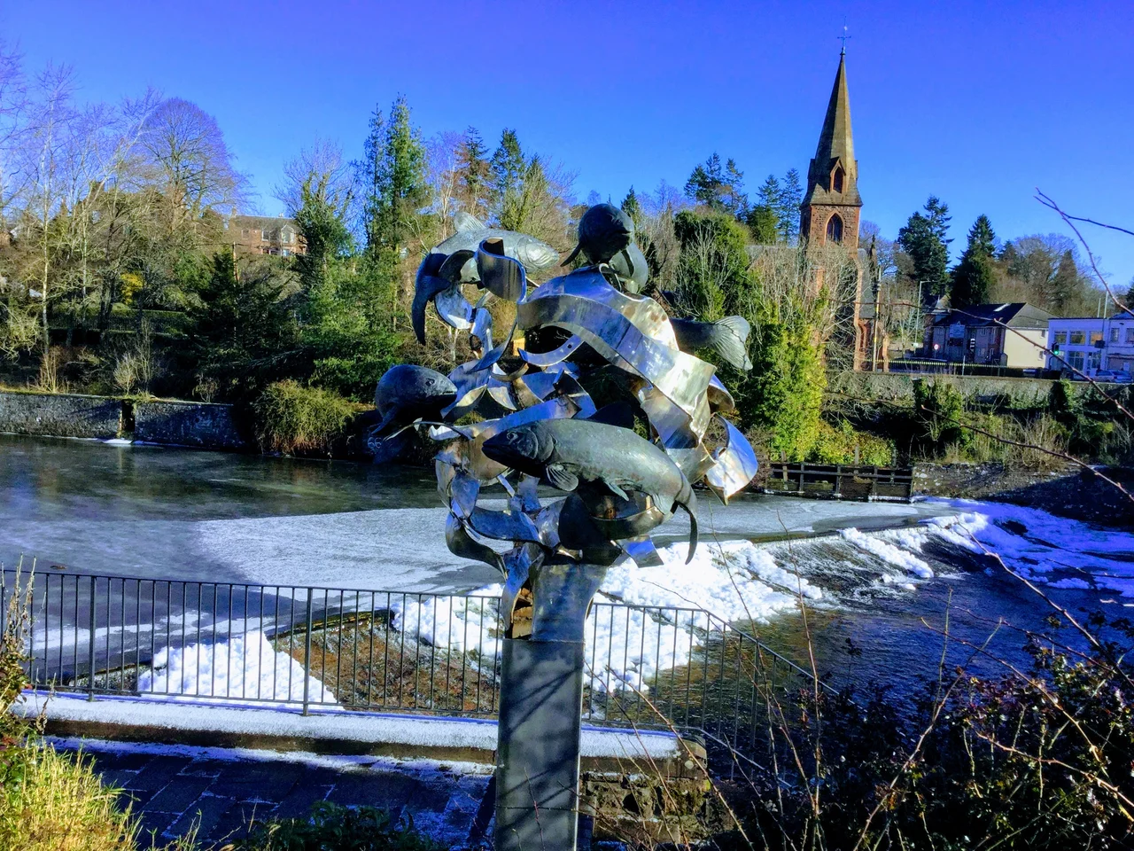

Blairgowrie and Rattray
Locals just call it Blair. In summer, the population of this twin burgh on the River Ericht visibly swells when Eastern European students arrive to pick the raspberries, strawberries, cherries, and blueberries that have made the surrounding fields the soft-fruit capital of Scotland. In winter, the same town is the southern gateway to the Snow Road - the tourist route over the Cairnwell Pass to Braemar that includes the highest stretch of tarmac in the United Kingdom road system. Blairgowrie and Rattray have always been a crossroads, a place defined by who and what is passing through.
Two Burghs, One River
Blairgowrie sits on the southwest bank of the River Ericht. Rattray sits on the northeast bank. The Brig o' Blair, built in 1777, made the two communities a single connected place; an Act of Parliament in 1928 made it official by uniting the burghs. Rattray claims the older history - Old Rattray, the area around Rattray Kirk, dates to the twelfth century - and the name itself may derive from a Gaelic word for fortress and a Pictish word for settlement. Blairgowrie's name is simpler: Blar Ghobharaidh in Gaelic, the plain of Gowrie. Together they sit on the north side of Strathmore at the foot of the Grampians, with the round grassy hill of the Knockie marking the west boundary and the dramatic Craighall Gorge cutting north along the Ericht.
Neolithic Lines
People have lived in this stretch of Strathmore for at least 5,000 years. Two miles south-southwest of the town runs the Cleaven Dyke, a Neolithic cursus monument - a long, narrow earthwork that may have served ceremonial purposes. Four miles further west lies Inchtuthil, where a Roman legionary fort built between 80 and 90 CE survives almost untouched by later development, making it one of the most important archaeological sites in Britain. Five miles east, the Meigle Sculptured Stone Museum holds one of Scotland's great collections of Pictish stones - more than thirty pieces, all found in Meigle itself, suggesting it was an ecclesiastical centre of unusual importance in the eighth to tenth centuries. The patterns of settlement here are not centuries deep. They are millennia deep.
Twelve Mills on the Ericht
In 1792, Blairgowrie had 425 inhabitants. By 1870 it had 4,000. The expansion came from twelve textile mills strung along the River Ericht, employing close to 2,000 people. The mills are all closed now, but the buildings remain visible from the riverside walk - vast empty husks of red sandstone, some converted to apartments, like Keithbank Mill. The railway, when it arrived, transformed the trade further. Blairgowrie station was the terminus of a branch from Coupar Angus on the Scottish Midland Junction Railway. The last train ran in the 1960s. The yards now hold a Tesco supermarket and the Welton Road industrial estate. The transformation from textile-and-rail town to soft-fruit-and-tourism town happened across roughly a single human lifetime.
The Berry Toon
Soft fruit took over in the twentieth century. Smedleys opened a cannery on Haugh Road. Adamsons ran a jam factory on Croft Lane. Berries and pulp went out by rail to markets across Britain. The pickers came from Perth and Dundee by bus and from further away, including a large annual contingent from Glasgow who made the picking season their summer holiday. The Travelling community came too. One of the best-remembered encampments was the Tin City at Essendy, a self-contained complex of tin huts with its own chapel, post office, shop, and kitchens, accommodating the pickers in something approaching a small village. The Tin City is gone now. The pickers today are mostly Eastern European students living in fruit-farm caravan parks, picking under polytunnels that have stretched the season from May to October.
Cargill's Leap and Braemar Night
A short walk upstream from the Brig o' Blair, on the riverside path, is Cargill's Leap - the narrow part of the River Ericht where the Covenanter minister Donald Cargill is said to have escaped government troops by jumping across the gorge. North of Rattray, Craighall Castle stands on the edge of the gorge above the river, the ancestral home of the chieftain of Clan Rattray, sold out of the family in 2010. On the west side of Blairgowrie, Newton Castle - the seat of the Macpherson chieftains - and Ardblair Castle, home of the Blair Oliphants, still stand. The town's biggest annual event is the Blairgowrie Highland Games on the first Sunday of September, preceded by Braemar Night with its firework display along the river. The tradition started in the 1960s to give returning travellers from the Braemar Games somewhere to stop on their way south.
Wellmeadow and the Snow Road
The centrepiece of Blairgowrie is the Wellmeadow, a grassy triangle at the heart of the town where Saturday markets run with stalls of local produce and crafts. The bus station is here too. Stagecoach connects the town to Perth, Dundee, Alyth, Dunkeld, Aberfeldy, Kirkmichael, and Glenshee. The nearest railway stations are at Perth and Dunkeld and Birnam; the nearest airport is Dundee. Heading north, the A93 climbs steadily into the Grampians, becoming the Snow Road tourist route through Glenshee, Braemar, Ballater, and Tomintoul to Grantown-on-Spey. At the Cairnwell Pass, the road reaches the highest point on the UK road system. From there, on a clear day, you can see the soft fruit fields shimmering thousands of feet below.
From the Air
Blairgowrie and Rattray sit at 56.59N, 3.34W on the River Ericht in eastern Perthshire, 15 nm north-east of Perth. Best viewed at 2,000-4,000 ft AGL; the twin burgh straddling the river is recognisable, with the dramatic Craighall Gorge cutting north and the Grampians rising sharply behind. Nearest ICAO airport is Perth (EGPT) 15 nm south-west; Dundee (EGPN) 18 nm south-east; Glenforsa (EGFA) is too distant. Expect rapidly changing weather along the Highland Boundary Fault and frequent low cloud in the glens leading toward Glenshee.
Nearby Stories
- Carnoustie Golf Links 5.9 km away
- Lochleven Castle 6.3 km away
- Edzell Castle 8.9 km away
- Dunblane Massacre 9.5 km away
- Croft Moraig Stone Circle 11 km away
- Isle of May 17 km away
- Lochnagar 21 km away
- Battle of Dalnaspidal 23 km away